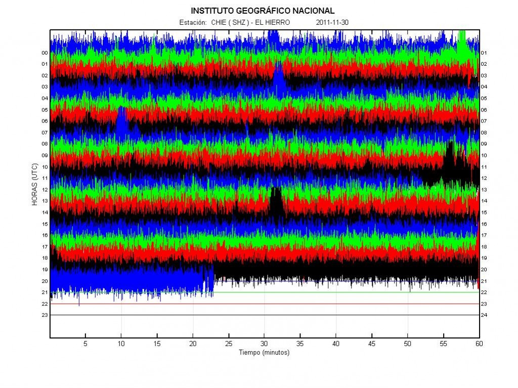
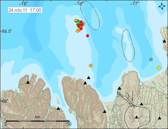
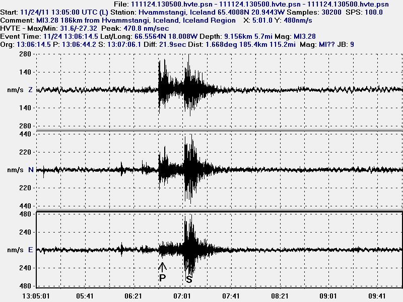
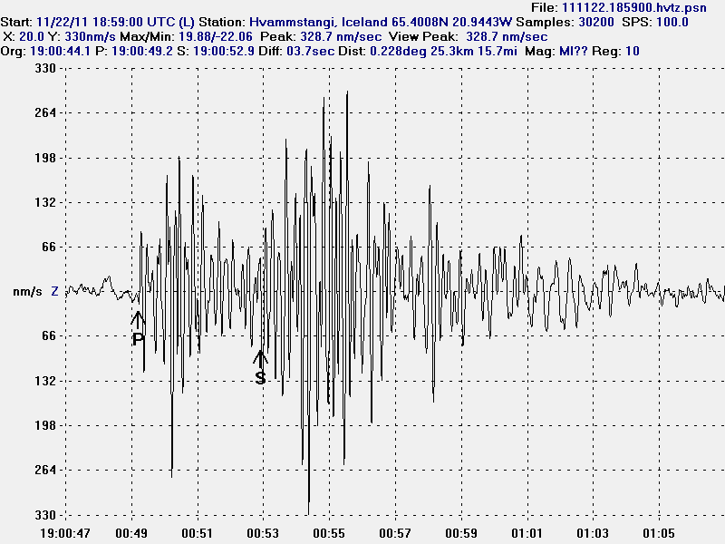
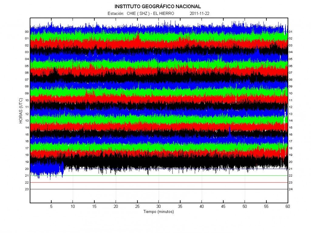
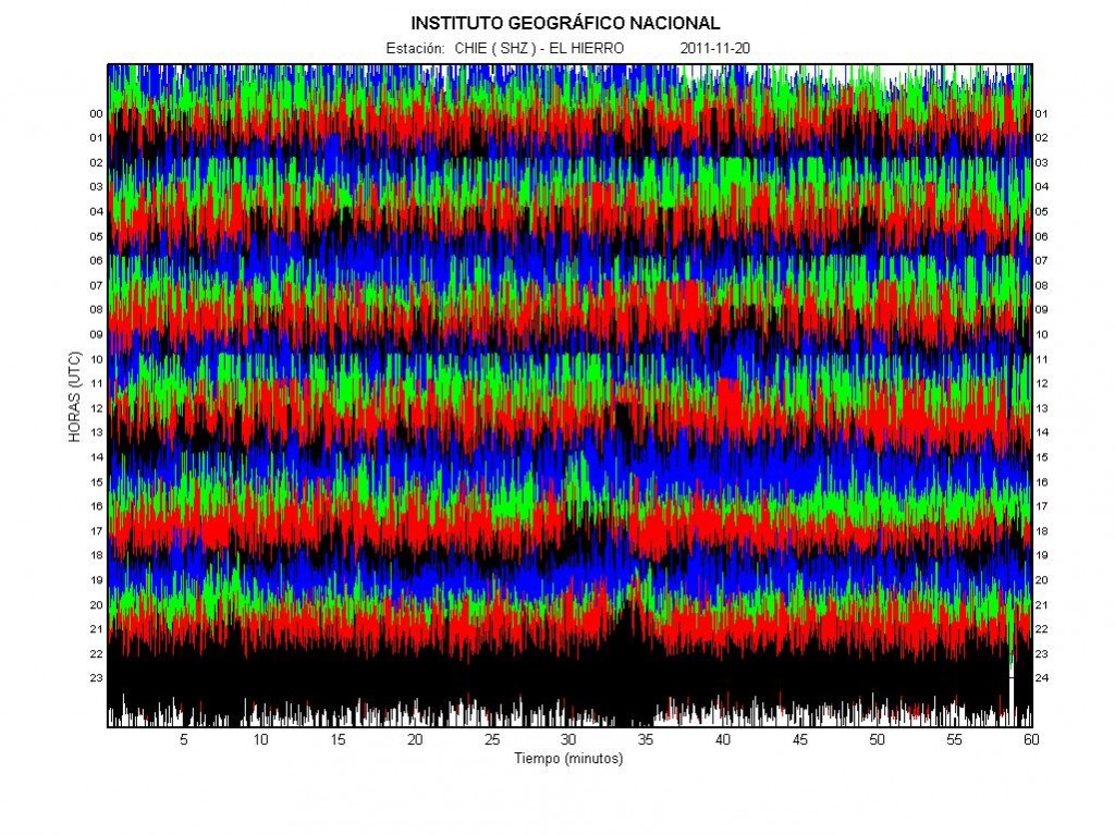
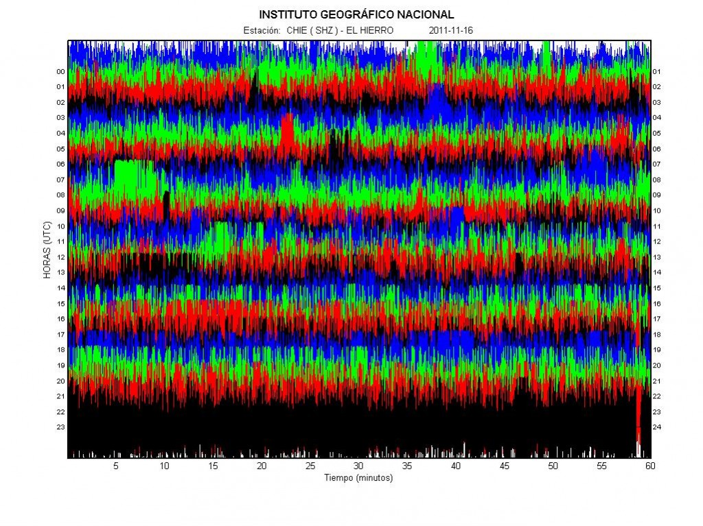
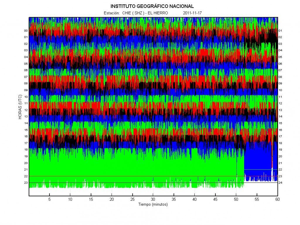
Please note that this is not a professional analysis of the recent earthquakes in El Hierro volcano. So it might be wrong. It also might not hold any science value at all.
During the eruption of El Hierro volcano a earthquakes activity has been in the north part of El Hierro volcano. This earthquake activity is most likely created by dike intrusions into the bed rock. At this moment it is unclear if any of them are going to reach the surface. There also seems to be some minor connection between the earthquake swarms and how active the eruption is in the south part of El Hierro volcano is. But what and how that connection is and works is unknown to me at present time. The strongest earthquakes that have happened so far are up to Mb4.6 in size (I do not think that this earthquake size has been downgraded. But I might be wrong).
The current location of the earthquake swarm has not changed a lot during the past few weeks. So it is more or less in the same place. There are however reports that the earthquakes are getting shallower. But it is currently unknown if that is because of magma movements or because the crust is releasing stress because of the dike intrusions in El Hierro volcano. A full list of earthquakes larger then ML2.5 can be found here (EMSC).
The results of this dike intrusions are going to that in some areas of El Hierro Island a hot springs and other types of hydrothermal activity might show it self. Without warning. But that can result in this type of hot springs.
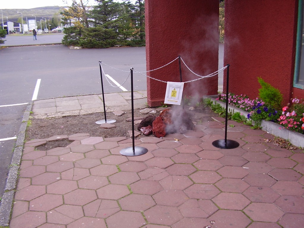
Picture is from Hveragerði, Iceland. Picture taken by me (Jón Frímann Jónsson). This picture is released under Creative Commons Licence. See Creative Commons Licence web page for more details (link in top bar).
This is also going to be the result for El Hierro volcano after the eruption end, if any magma remains shallow in the crust to cool down.
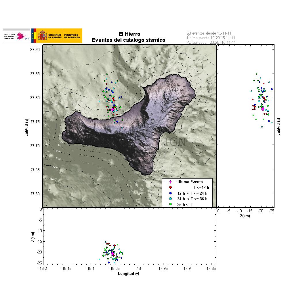
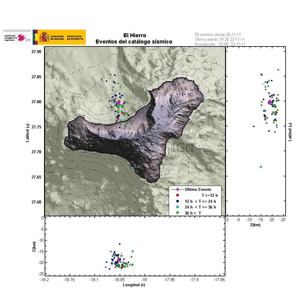
A 48 hour map of the earthquake activity in El Hierro volcano. Copyright of this picture belongs to IGN (Instituto Geográfico Nacional).
The earthquake are in almost N-S line, that is most likely the fault line that might erupt if it opens up. But as it stands now. Most of it would be out to the sea. But the exact length of a fissure is impossible to predict. What happens is only clear when it starts erupting.
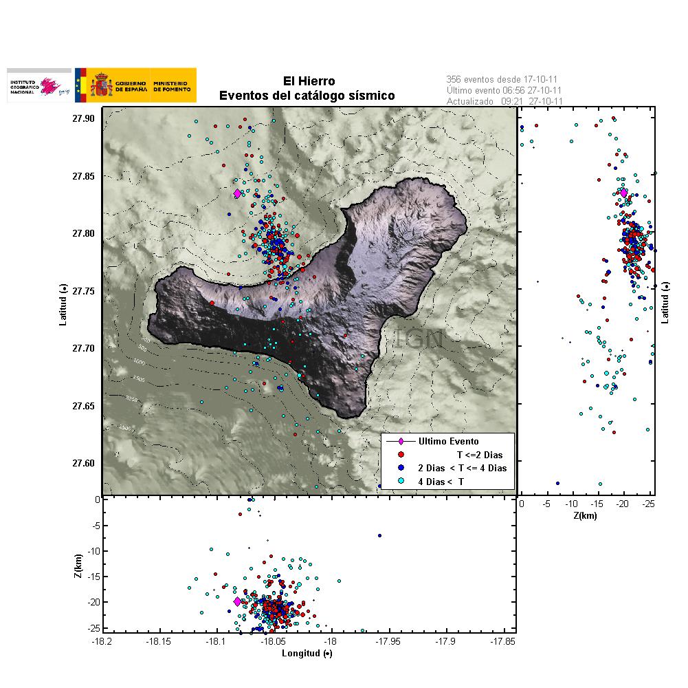
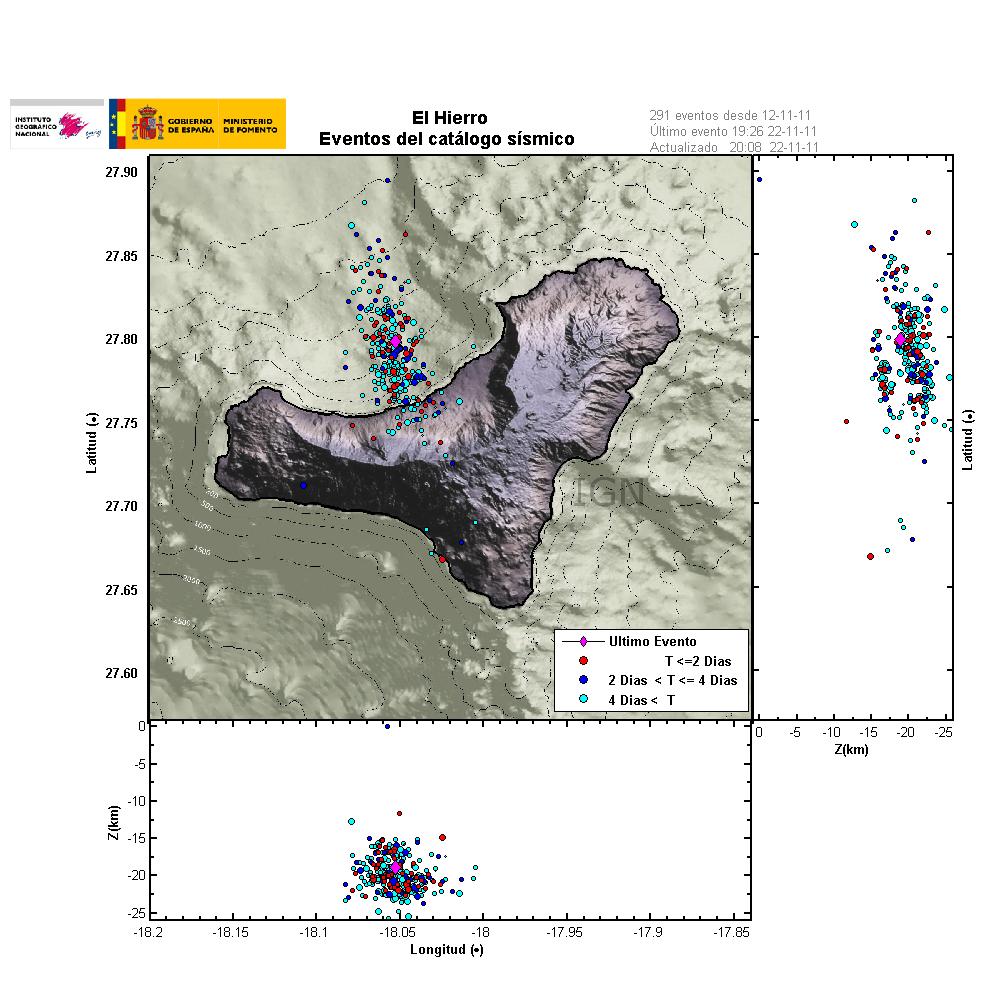
The 4 day amount of earthquakes in El Hierro volcano. There are some earthquakes in south El Hierro volcano. But those earthquakes are fewer and smaller in size. Copyright of this picture belongs to IGN (Instituto Geográfico Nacional).
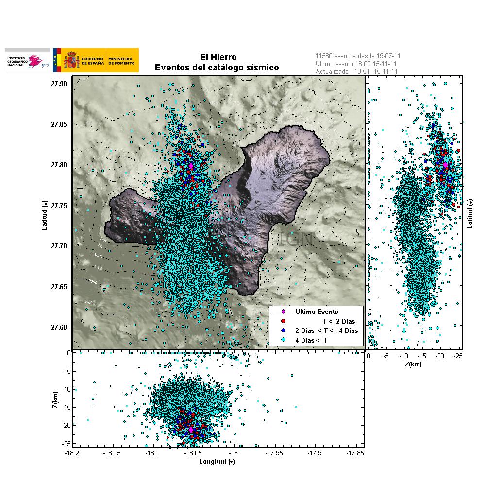
The total number of earthquakes in El Hierro volcano since the magma intrusion started in July 2011. As clearly can be seen on this picture, the new area with earthquakes makes a clear signal that it a magma injection into the rock. Rather then result of tectonic movements in the area due to the eruptions. Copyright of this picture belongs to IGN (Instituto Geográfico Nacional).
Update on the eruption it self: Explosions appears to be taking place in El Hierro volcano again. That suggests that the eruption is once again more powerful, after a few hours of lowered activity. It is not yet confirmed if any new vents have opened up closer to the shoreline. There are pictures that suggest it. But nothing is confirmed at this moment. But it cannot be ruled out that new fissure is going to open up closer to the coast. If that happens, it is going to be noticed if the depth is shallow enough.
As for the eruption in El Hierro volcano. I now classify it as long term eruption, as it has lasted for longer then 1 month. So rather then sharp blog posts about what is going on. I am going to post regular updates on what is happening in El Hierro volcano eruption. If there are any major changes. I am also going to cover that soon as possible. But I am not always in front of the computer, and El Hierro volcano is far away. But I am doing my best regarding this eruption.
Blog post updated at 12:25 UTC on 16 November, 2011
