This information is going to get outdated quickly. This is also a Friday update and that means I won’t write new articles during the weekend. I am just going update this one with latest information. New article is only going to be written on weekends if something major happens in current activity in Bárðarbunga volcano.
Current status of Bárðarbunga volcano at 23:43 UTC
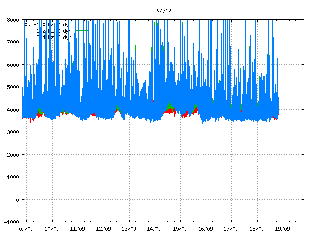
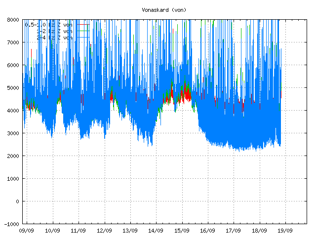
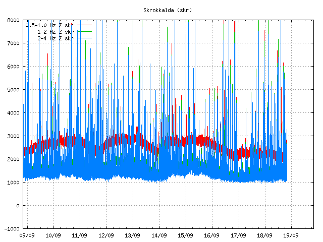
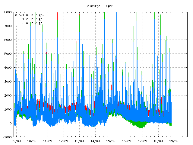
- Largest earthquake so far today has had the magnitude of 4,7 at 06:44 UTC. Other earthquakes have been smaller, but several magnitude 3,0 – 4,3 earthquakes have taken place today. More information can be found at Icelandic Met Office website here.
- GPS data [University of Iceland GPS data can be found here) still makes no sense to me currently. I am hoping to figure that out in next few days what is going on there.
- Landsnet that takes care of the electric grid in Iceland has started to move backup items for its power-lines in south and north Iceland. In the case they need to do a sudden repair to them if they take damage in glacier flood. This are 220kV power-lines and stations that are at risk from glacier flood due to eruption in Bárðarbunga. I don’t know about the dams them self if anything is being done to protect them.
- The eruption in Holuhraun continues as it has been doing for the past few days. Now there is mostly one crater erupting.
- Chemical mixture of the magma has changed. It is now coming from deep magma chamber at more than 10 km depth. This means the eruption is going to be long lasting.
- Scientist expect to be at Holuhraun eruption until December at least.
- South part of Bárðarbunga fissure system have not yet started to move. When that changes is impossible to know.
Map of earthquake activity for the past 48 hours
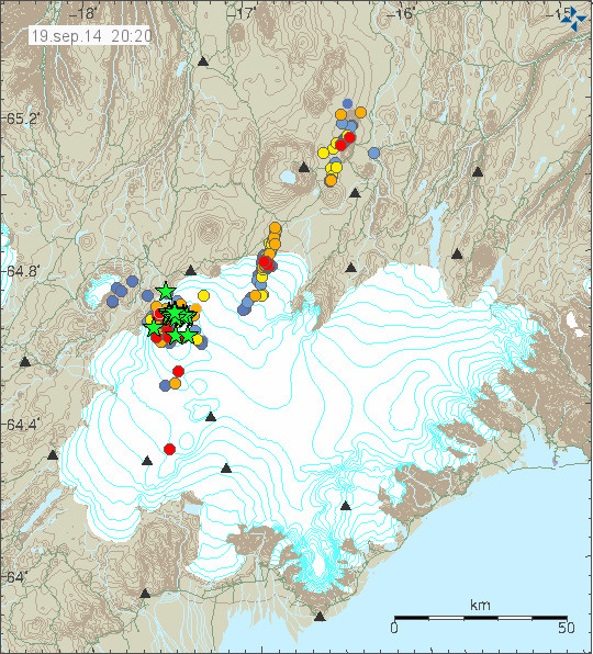
This is the earthquake activity from 20:20 UTC. It clearly shows the earthquake activity as it now is taking place. Copyright of this image belongs to Icelandic Met Office.
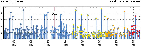
Magnitude of the earthquakes taking place during the past 48 hours. Copyright of this image belongs to Icelandic Met Office.
Update Saturday 20-September-2014 at 13:16 UTC
- Largest earthquake since midnight was an earthquake that took place at 01:10 UTC and had the magnitude of 5,1.
- Eruption at Holuhraun continues same as before. The central crater is now high above the flat desert that is in this location. I don’t know how high it is now.
- SO2 pollution have been noted over Iceland today. It has been seen in Reykjavík, Borgarnes, Akranes and other places. The amount of SO2 in this places is far below health risk levels according to the news.
- Minor earthquake activity continues in the dyke and has extended slightly more south since yesterday.
- GPS data continues to be confusing. GPS data from Icelandic Met Office can be found here. GPS data from University of Iceland can be found here.
Update Sunday 21-September-2014 at 14:35 UTC
- The eruption continues as before. There is no major change taking place in Holuhraun.
- Largest earthquake since midnight is a magnitude 5,5 earthquake that took place at 10:51 UTC. Other earthquakes have been smaller. This is the second largest earthquake since activity started in Bárðarbunga volcano. With the largest earthquake so far taking place on 26-August-2014 having the magnitude of 5,7.
- People have found going into the closed area and that is illegal. This is dangerous since there is high risk of new eruption taking place under the glacier south of current eruption. When that happens the glacier flood is going to coming down to the current erupting area within 30 to 60 minutes (1 hour). That is not enough time to send warning to all the people in the area. If you want to go to Holuhraun, rent a plane. Its the safest option at the moment. Don’t go by car! Small eruptions have been taking place under the glacier in past month. So we know they are happening, they have not been large at present time, but that is going to change without warning. There is also high risk of gas like SO2, CO, CO2 from the eruption.
- Dead birds have been found close the lava field in recent days or weeks. I don’t know why this happens, but it is clear that deadly SO2 gas and other gases are killing the birds.
- There is a storm in Vatnajökull glacier area today. As can be seen on Icelandic Met Office wind map here.
- Eruption in Bárðarbunga volcano is expected to take place without warning. It has not yet happened, but the chance of an eruption taking place is higher than it won’t happen.
- Bárðarbunga volcano caldera continues to subside. Latest drop was around 25 cm following the magnitude 5,5 earthquake.
I am going update this later today if there is reason to do so.
Article updated at 13:16 UTC on Saturday 20-September-2014.
Article updated at 14:38 UTC on Saturday 21-September-2014.
Article updated at 14:41 UTC on Saturday 21-September-2014.