
Today at 17:32 UTC there was a magnitude 4.4 earthquake north of Kolbeinsey Island. I do not know if this earthquake was tectonic or volcanic in nature. I do know that there where several aftershocks following this earthquake. Since I did register them on my geophone in north Iceland. The geophone web site can be viewed here. More information about the earthquake can be found here, on EMSC web page.
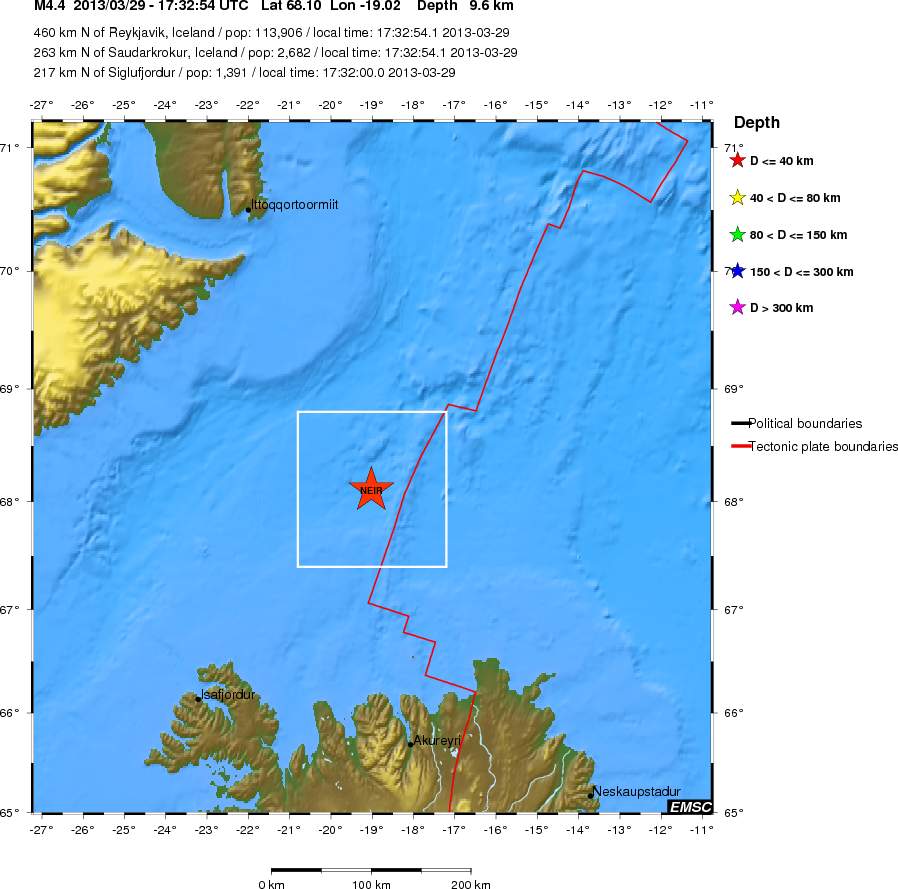
Regional view of the area where the earthquake took place. Copyright of this image belongs to EMSC.
Icelandic Meteorological Office did also detected many of this earthquakes that took place there. But detection from this location is difficult due to distance from the SIL network.
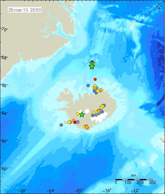
The earthquake swarm location according to Icelandic Meteorological Office. Copyright of this image belongs to Icelandic Meteorological Office.
For now this is just a earthquake swarm and nothing else. Regardless of what happens later. Earthquake activity has been common in this area of the rift zone for several months now. I do not know why that is. The ocean depth in this area is around 3 to 4 km where it is the deepest. So if an eruption takes place there it is not going to be noticed due to the depth of the ocean.