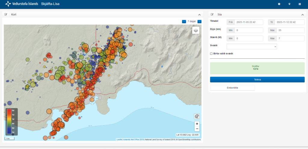
This is a short update, since the situation is changing quickly and without much warning. This just looks like it is quiet, it is not.
- Grindavík town is sinking and parts of the town have lowered by as much 1 meter when this article is written. This is a large area, large enough to be called rift valley. This was reported by mbl.is here in Icelandic. This was just discovered today when some measurements where taken.
- Magma might be as shallow as few dozen meters under the surface where it is the most shallow. This has been reported by mbl.is here in Icelandic. This is a live link and the news item in question might be removed or gone in few hours.
- This is a event that was not expected. Most of the inflation until Friday 10. November 2023 had happened in Svartsengi (Reykjanes volcano) and in Fagradalsfjall volcano. There had nothing been happening at Sundhnúksgígar to the north-east of Grindavík. Until Friday 10. November at around 08:00 when a earthquake swarm started in that location. Originally it was though those where just tension related earthquakes, but that view (according to reports) changed early in the morning at Icelandic Met Office. Everything did go crazy in earthquakes between 16:00 until 19:00 on Friday. This earthquake swarm was really dense and many earthquakes with magnitude Mw4,0 took place inside Grindavík town.
- There is damage in Grindavík, both roads and houses because of the displacement. Damages to pipes, electricity wires and other infrastructure.
- The dyke seems to be few dozen meters wide and up to 1 meters deep. It might be different wide and deep at its 15 km length. I have not found any useful information about this. Just information on its length that was last time I checked, 15 km long.
This is not a small volcano event. What I don’t know and this doesn’t seems to be known. What volcano is causing this. This might be Fagradalsfjall volcano or this might be Reykjanes volcano.

I’ll post more information about this when I know more or if anything more happens if I can.
