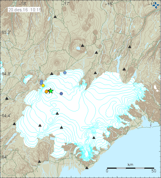
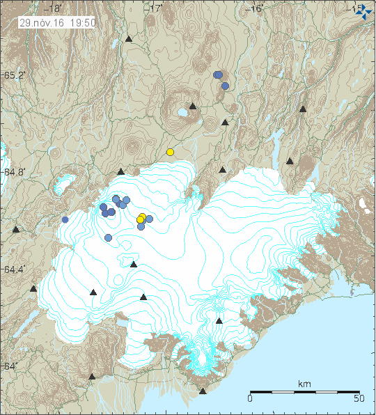
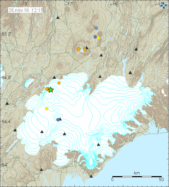
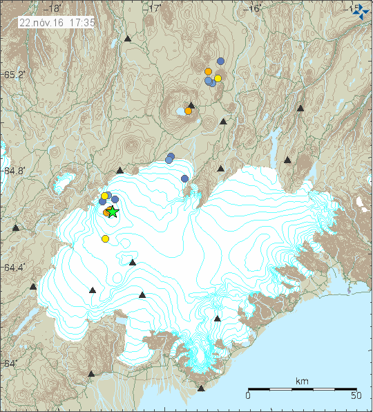
During the night of 12-December-2016 a earthquake swarm took place in Bárðarbunga volcano. This earthquake activity happens because the volcano is inflating currently after period of deflation during the eruption from August-2014 to Februar-2015. As before, most of earthquake activity happens in the north-east part of the caldera. Why that is the case is not known to me at the moment.
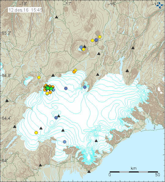
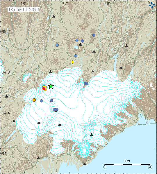
The earthquake activity in Bárðarbunga volcano. Copyright of this image belongs to Icelandic Met Office.
The earthquake swarm lasted for about ~1 hour this time around. Slower and smaller earthquake swarm has been going on for the past ~10 days in Bárðarbunga volcano. I call those “slow earthquake swarm” [not a scientific term], they are more difficult to detect, but they often happen (but I have not yet seen them mentioned in any science papers yet, so this is just my personal view). Largest magnitudes in this earthquake swarm where 3,9 (04:10), 3,8 (04:24), 4,2 (04:29). Other earthquakes where smaller in this swarm.
This earthquake activity is due to the fact that magma is flowing into Bárðarbunga volcano magma chamber at depth (~10 km) and inflating the volcano after it collapsed during the eruption 2014 – 2015. This inflation is faster then anyone expected I suspect, since after the eruption ended in February-2015 it was expected that Bárðarbunga volcano would be quiet for a long time after such large eruption. That has not happened, even if no new eruption has happened so far.
It is not possible to know when next eruption happens or where it is going to happen. Deep earthquakes have been happening under Trölladyngja, suggesting magma movements under that area. Last two eruptions in Trölladyngja took place in the year 5000 BCE and 7100 BCE (GVP information), that means eruption can happen again in this shield volcano (inside Bárðarbunga volcano fissure swarm). There are many other locations that eruptions can happened, at the moment it is expected that possible next eruptions continue to happen north east of Bárðarbunga volcano, close to Holuhraun lava field or in that direction. It is good to remember that if the magma cannot go to the sides, its either going to stay in its place or if the pressure is high enough, it is going to go straight up along the caldera fault line. Hydrothermal activity on the rims of Bárðarbunga volcano caldera suggests that this has already happened and magma now sits at ~1 km depth already. It just didn’t erupt during the last eruption sequence in 2014 – 2015 (it at least has not yet been confirmed).
Donations
Please remember to support my work with donations, it helps me running this website and work on updating about the activity in Iceland. Thanks for the support. 🙂