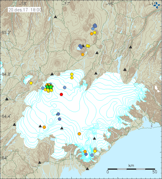
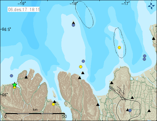
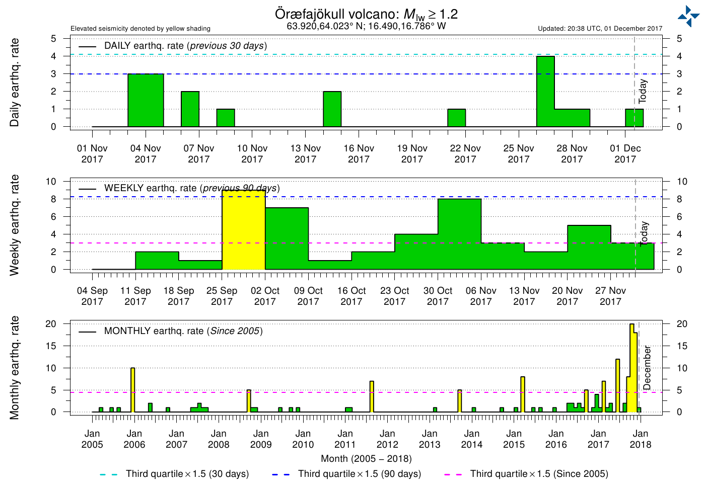
After quiet two weeks in Öræfajökull volcano earthquake activity has started in increase again. As before the magnitude of earthquakes happening remains small with only few earthquakes reaching magnitudes above 1,5.
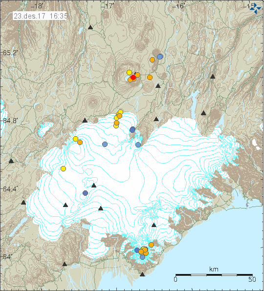
Earthquake activity in Öræfajökull volcano. Copyright of this image belongs to Icelandic Met Office.
Largest earthquakes today (23-December-2017) had magnitude of 1,4 and 1,1. All other earthquakes that happened where smaller in magnitude. It is at the moment difficult to know if this current trend continues and earthquake activity continues to increase in Öræfajökull volcano or is going to start dropping off again. Based on earlier pattern in October and November the earthquake activity is going to continue to increase, reach a peak and then start to drop off again. The fact remains is that nothing is certain when it comes to volcanoes and it is close to impossible to predict and know what is going on in Öræfajökull volcano.
Donations
Please remember to support my work with donations. Thanks for the support. 🙂