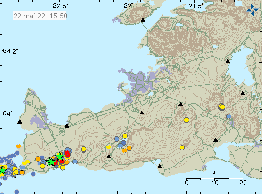
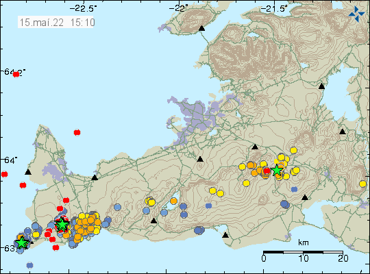
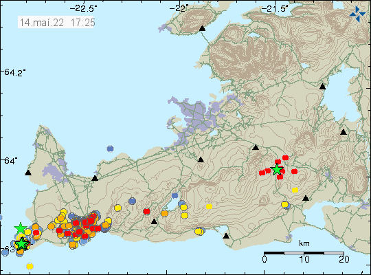
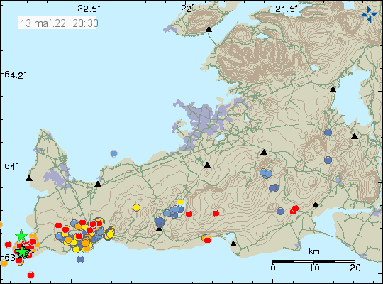
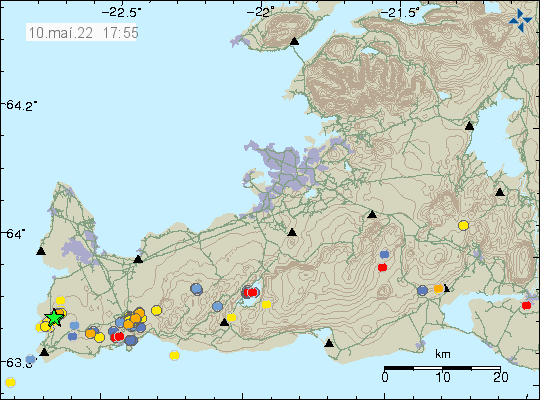
Today (23-May-2022) at 07:14 UTC an earthquake with magnitude of Mw3,5 took place north-east of Grindavík town. This earthquake was felt in Grindavík and in Reykjavík. The earthquake was located in a area that is either inflating or on the edge of area that is inflating.
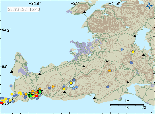
According to Icelandic Met Office news, the inflation around Þorbjörn mountain since the start of this earthquake activity is currently at 45mm. I don’t know how much inflation the crust can take in this area before an eruption starts in this area. Any eruption in this area is probably going to start with few craters that shut down with time and then there is just one crater that erupts until the eruption ends.
Donations
Please remember to support my work with donation. Everything helps me from being broke. Thanks for the support. 🙂