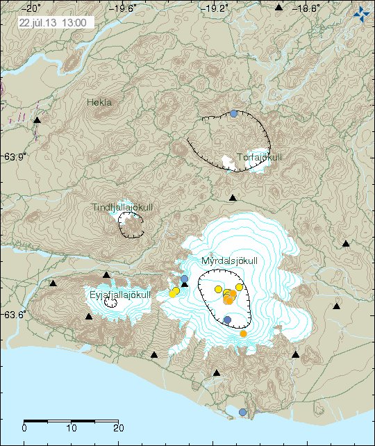
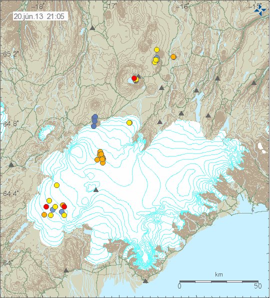
Today (03-September-2013) a minor earthquake swarm took place in Torfajökull volcano. The largest earthquake had the magnitude of 1.1, no other larger earthquakes took place in Torfajökull volcano.
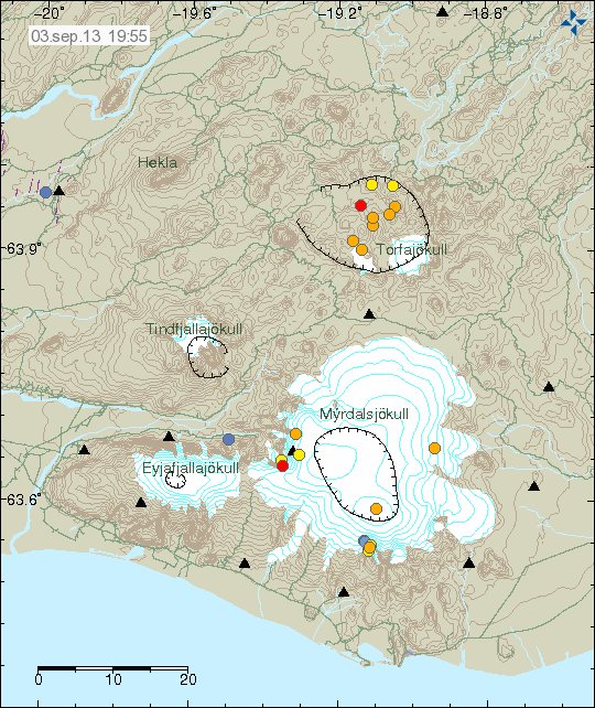
Earthquakes in Torfajökull volcano. Copyright of this image belongs to Icelandic Meteorological Office.
Smaller earthquake swarms are common in Torfajökull volcano. They do not mean that eruption is about to take place, however magma is shallow in Torfajökull volcano and it has not erupted since 15th century at least (I think, there is no use in GVP website at the moment).
Donations: It would be nice if people donated so that I can buy food this month. In other case I am going to have to eat really little this month and I am not happy about such things taking place.