It has been quiet in Iceland this summer, often with only 100 earthquakes during the week (7 days) taking place. This is normal for Iceland, since activity takes happens in jumps, with long quiet period between them. That quiet period can be from few days and up to thousands of years. This is normal for every rift and subduction zone on planet Earth, activity happens in short periods and during that time a lot of things can be going on during that period. Between it nothing is taking place, this applies to Iceland as any other place on Earth. Currently nothing is happening in Iceland and tension is building up while it is quiet, at some random point at some random day this tension is going to break and we are going to have either a earthquake swarm, eruption or both taking place.
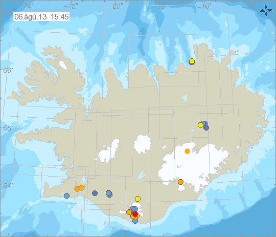
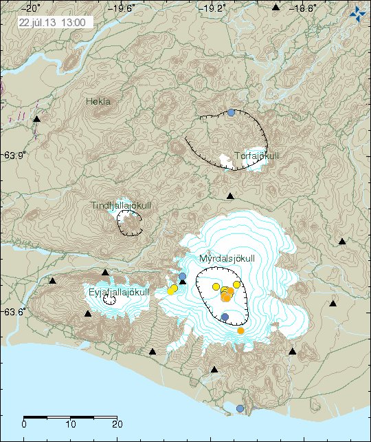
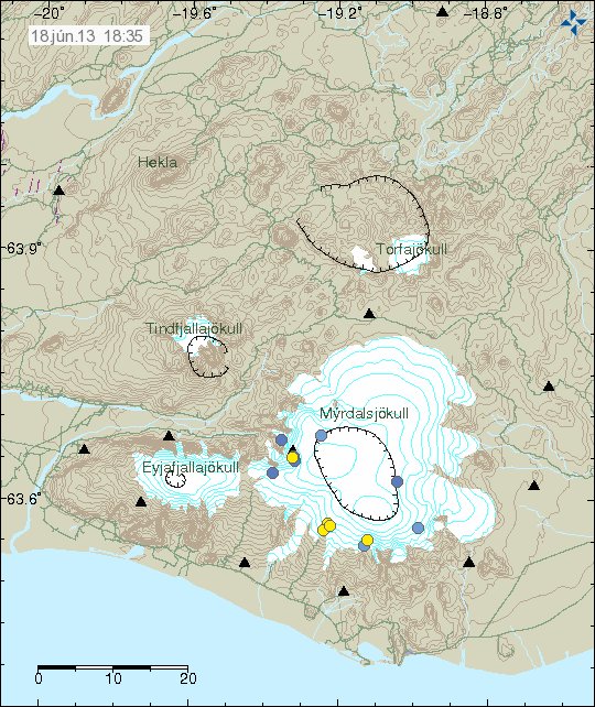
All quiet in Iceland. There is currently some minor summer earthquake activity taking place in Katla volcano. Copyright of this image belongs to Icelandic Meteorological Office.
For more information on Icelandic geology, I recommend this paper (pdf) by Páll Einarsson. It is from the year 2008, but is a good read on the tectonic settings in Iceland. It might be a surprice to many, but in Iceland there are actually 5 rift zones, they are called Western Volcanic Zone (WVZ), Central Icelandic Volcanic Zone (CIVZ), Eastern Volcanic Zone (EVZ), Northern Volcanic Zone (NVZ) and South Iceland Volcanic Zone (SIVZ). Then there is Reykjanes Peninsula Rift (RPR). This zones are not all active at the same time and there dormant time is different, some areas are just dormant for few years to decades, while others are dormant for thousands of years.
For the moment it is quiet, so I have little to write about. Since this blog mostly deals with current activity that is taking place in Iceland.