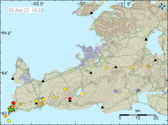
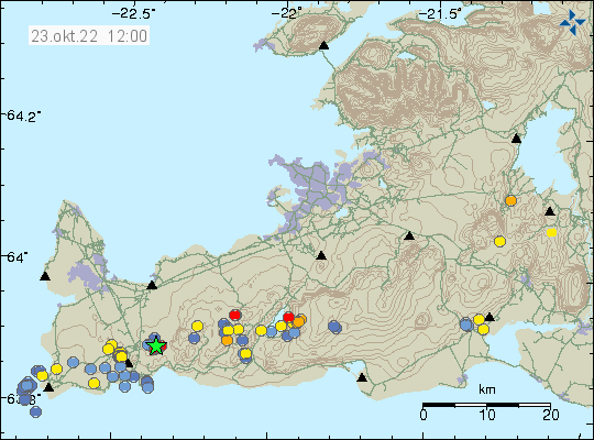
This earthquake swarm is ongoing at the writing of this article and information can change without warning. The largest earthquake recorded by automatic magnitude of Mw3,7 at the writing of this article. Around 30 to 40 earthquakes have happened so far, but that number might change quickly. This earthquake activity has some signs that it might be happening because of magma intrusion in the area, out in the ocean but signals are not clear.
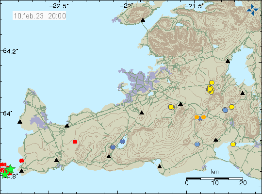
This earthquake activity is in the volcano Reykjanes, that volcano goes into the ocean and is on dry land. Making possible future eruptions both explosive and flowing magma at the same time. To date, Reykjanes volcano only has had earthquake swarms and no eruption. When that is going to change is impossible to know.