
I hate to ask for this. But I am in need for donation from you good people. The reasons for this is because I am broke and my income does not cover my bills and cost of living in Denmark. I already knew that I was heading into problems when I did see the bills come in. Both in Iceland and Denmark. But the main problem was when I got the electric bill here in Denmark, it was for 952 DKK (128€) and that did break my budget completely. As I don’t even have enough money too pay for all my bills and too buy food for the rest of this month. I also had a high phone bill as I was paying for three months there. My budget this month for Denmark was 3470 DKK (468€) after I did pay what had to be paid in Iceland. The total bills payed in Denmark this month (what is left) is 4008 DKK (541€).
Based on this. I have made a final decision. I am going to move to Iceland on 5. June as planned. I have made the decision to stop my attempts to stay in Denmark. I might one day move back to Denmark. But not until I have the income to support it and that might take many years until that happens. If I move back to Denmark at all. But that is unclear at this point in time.
I don’t know how June is going to be. But I hope that it is going too be more simpler. But for June I have to pay the rent for the last time in Denmark. My moving costs are going to be covered by a bank loan as that is my only option. My problems are going to be over after that point. As the costs that I have to pay
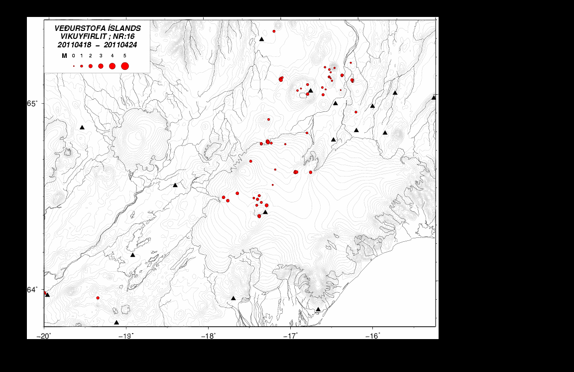
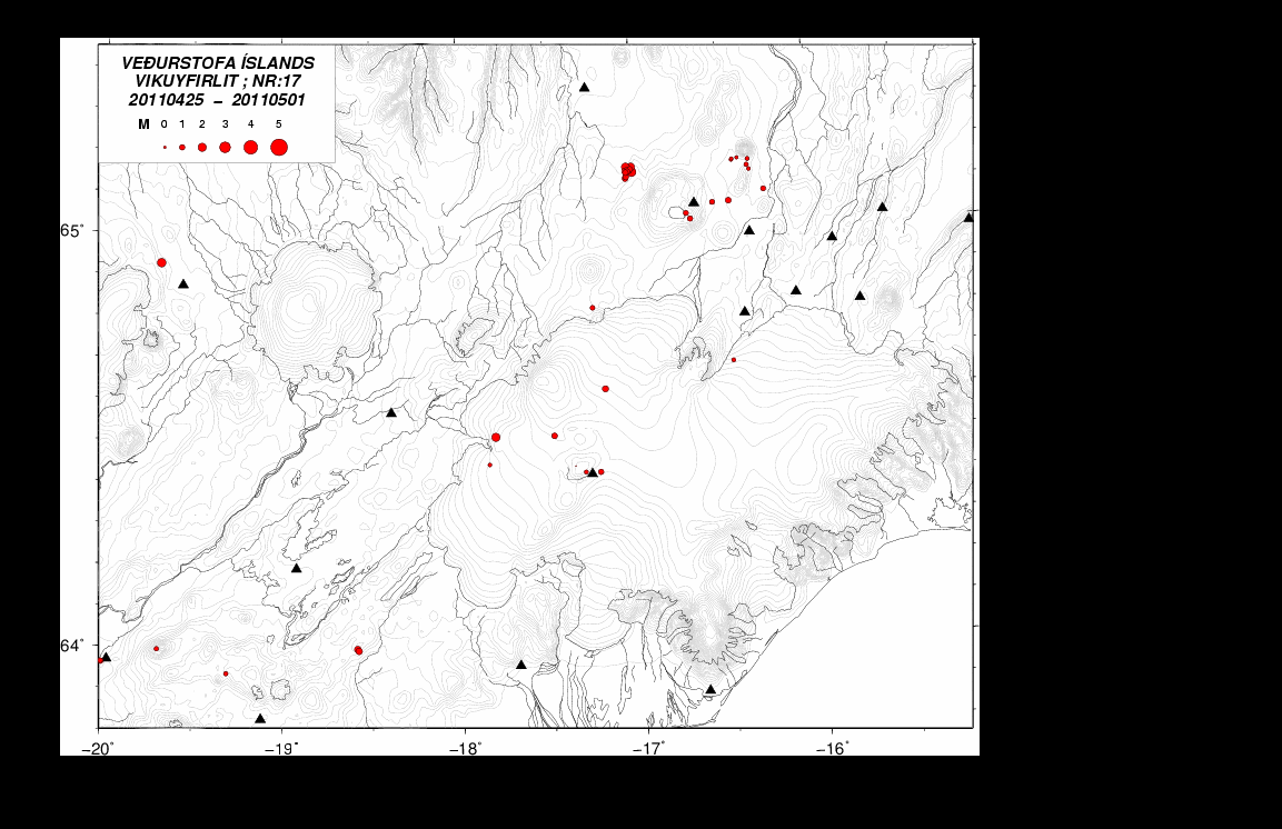
Thanks for the support! I am going to do my best in covering Icelandic volcanoes as always.
