I put a lot of work in this website as it shows when the number of articles (1320 so far) I’ve written since I started this website in September 2011. Donations allow me to keep writing on this website without being too much bothered with having to worry about financial problems too much (I’ve had enough of that for five live times already).
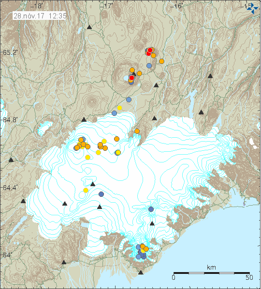
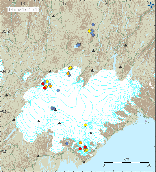
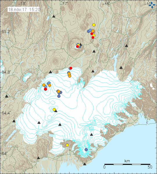
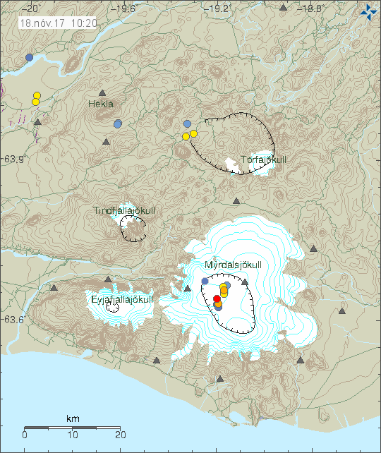
It is also clear that increase in volcano activity in Iceland means that I’ll be busier than ever writing articles about eruptions in Iceland and what that means. I do expect that the year 2018 is going to be something (possibly) and that wait might not be too long.
Please remember to support my work with donations. Everything helps, but it important to know that PayPal takes it share off any donations so smaller donations get even smaller when that is taken into account.
Thanks for the support. 🙂