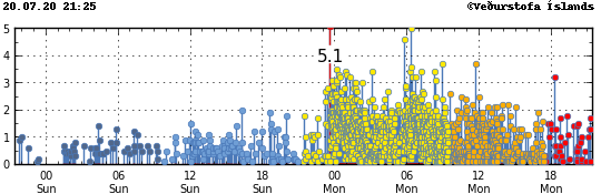
Today (26-August-2020) a strong earthquake swarm took place east of Fagradalsfjall mountain. Strongest earthquake in this swarm had a magnitude of Mw4,2 and second strongest earthquake had a magnitude of Mw3,7. Three other earthquakes with magnitude above Mw3,0 took place in this earthquake swarm. At the writing of this article total of 350 earthquakes have taken place.
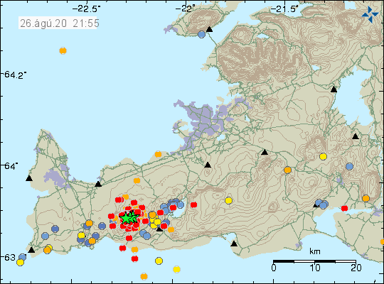
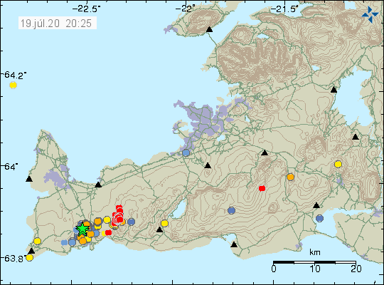
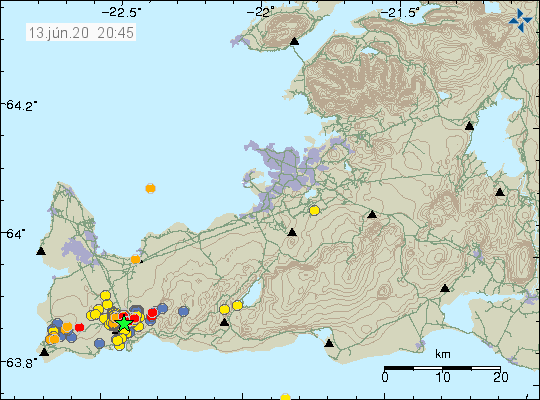
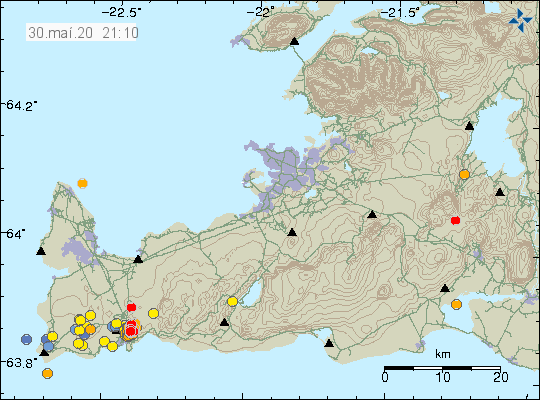
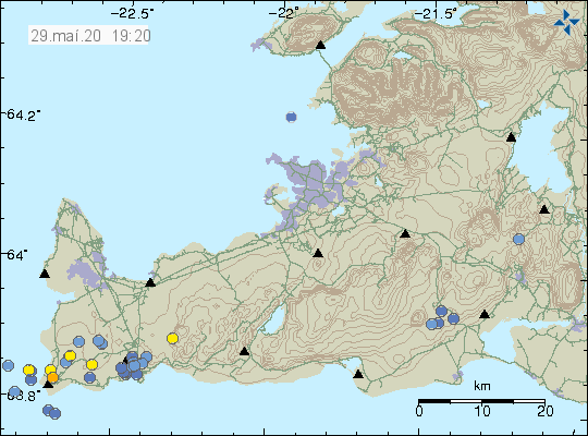
The earthquake swarm on the Reykjanes peninsula in Reykjanes volcano. Image used with permission and copyright of this image belongs to Icelandic Met Office.
This earthquake swam seems to be at the most eastern end of a volcano called Reykjanes. This activity happens in swarms and at the writing of this article a new activity has started. It is not possible to know how long this activity is going to last. At the writing of this article there are no signs that magma has started to find a path to the surface and current data suggest this earthquake activity only to be tectonic earthquake currently. GPS data continues to suggest injection of magma into the crust at 8 km to 3 km depth in Reykjanes volcano. This injection of magma has been going on since January-2020.