
Today (15-November-2013) at 05:32 UTC an magnitude 3,4 earthquake took place 14,9 km north of Kolbeinsey island. The depth of this earthquake was 3,9 km according to Icelandic Meteorological Office. Due to distance from the SIL network the magnitude and depth might be underestimated.
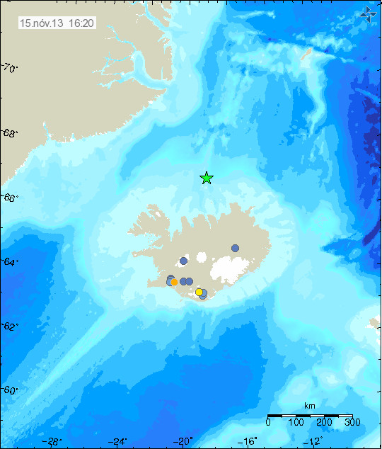
Due to distance from land it is difficult to know for sure what is happening at this location. So far no harmonic tremor has been detected so no eruption is taking place at this location. This earthquake did appear clearly on my geophone in Böðvarshólar. My geophone website can be found here.