Yesterday the Department of Civil Protection and Emergency Management declared uncertainty level for Öræfajökull volcano. Aviation colour code was also moved up to yellow alert level (can be viewed here).
Current status is that a ice cauldron has formed in the centre of the Öræfajökull volcano caldera. It is about 1 km wide and around 21 to 25 meters deep according to early measurements. This is the first time in documented history that such ice cauldrons has formed in Öræfajökull volcano. It is now believed that the ice cauldron has been emptying it self all week resulting in smell of sulphur in Kvíá glacier river. The glacier river can be viewed here on Google Maps Street View. Currently there is not a lot of earthquake activity happening in Öræfajökull volcano. This is to be expected (I guess). It is also worth noting that Öræfajökull volcano did do in few months what took Eyjafjallajökull volcano 16 years to do until an eruption happened.
There is not a lot of details on earlier eruptions from Öræfajökull volcano. Earliest eruption to our in time took place between 1727 and until 1728 (289 years). Before that an eruption took place in 1362 (655 years) and lasted for five months. Currently I don’t have a lot of information about the current status. This is due to lack of measurements as it was not expected that Öræfajökull volcano would do this even if earthquake activity was happening in the volcano. It was only from October (it seems) that it was figured out that something was going on in Öræfajökull volcano.

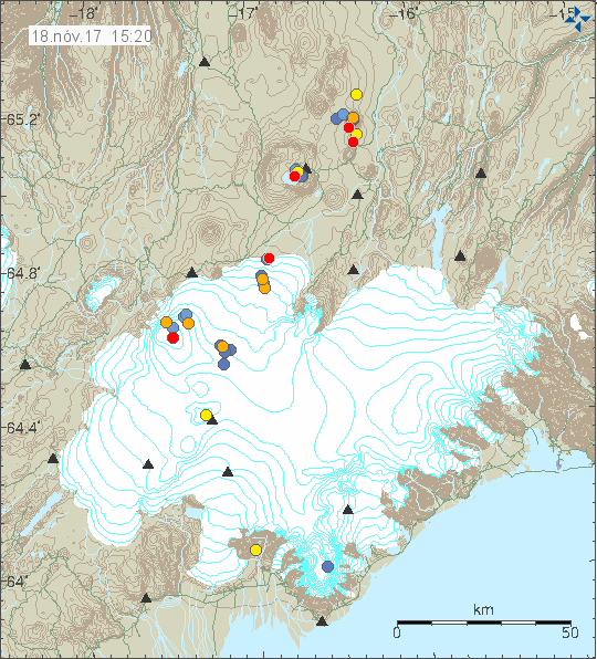
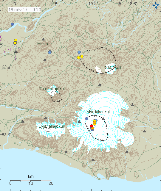
No earthquake activity in Öræfajökull volcano during the past 48 hours (blue dot in the south part of the image). Copyright of this image belongs to Icelandic Met Office.
Images of the new ice cauldron can be found here on Icelandic Met Office website.
I’ll post new information in this article as needed. If anything major happens I’ll write a new article.
Article updated at 16:26 UTC. Added information that I forgot.


