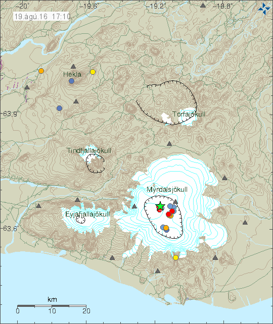
Today (19-August-2016) a magnitude 3,5 earthquake took place in Katla volcano. It was followed by several earthquakes, both before the strongest earthquakes and after it.

The earthquake activity in Katla volcano. The green star shows the location of the magnitude 3,5 earthquake. Copyright of this image belongs to Iceland Met Office.
This doesn’t seems to be an activity connected directly to magma movements. This might however be a gas under pressure breaking rock, since clues this summer suggests that heat is now increasing in the caldera. At least for now, it might cool down again in coming months. The most common months for Katla volcano to erupt are from July until November, eruptions in other months are less common, they do happen every few hundred years.

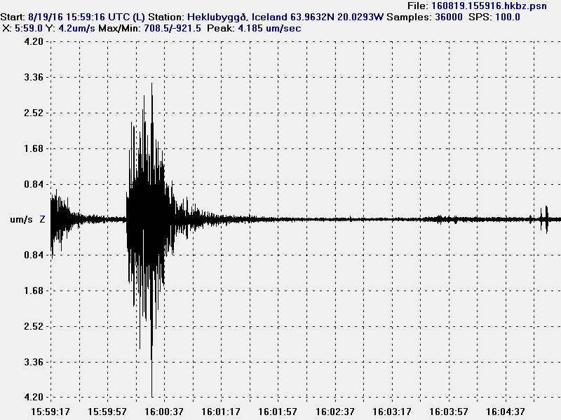
The magnitude 3,5 earthquake as it appeared on my geophone in Heklubyggð. This image is under Creative Commons licence. Please see the CC Licence page (above) for more details.
