Harmonic tremor pulse in Katla volcano

There appears to be an harmonic tremor pulse going on in Katla volcano. While I currently do not think that this is going to start an eruption. It is worth watching this harmonic tremor pulse in Katla. But in the year 1999 this type of activity did result in minor eruption in Katla volcano on the 17. July that year (it is believed).


Harmonic tremor pulse can be seen on the SIL station Lágu Hvolar. Copyright of this picture belongs to Icelandic Met Office.
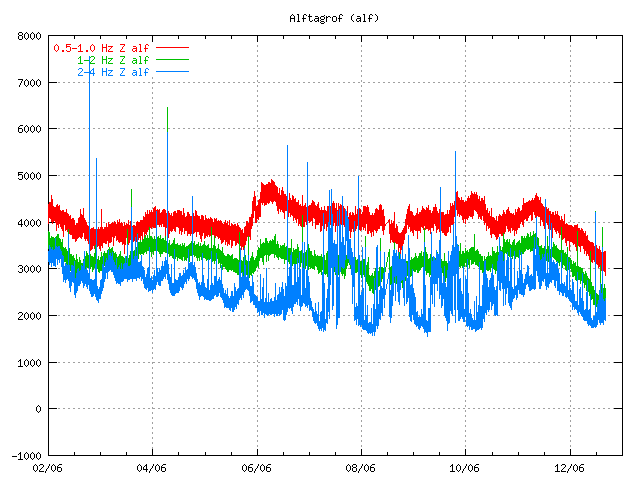

Harmonic tremor pulse can be seen on this SIL station Álftagröf. But it is hard too see it then on Lágu Hvolar. But that suggests that this tremor pulse is in fact quote weak one. Copyright of this picture belongs to Icelandic Met Office.
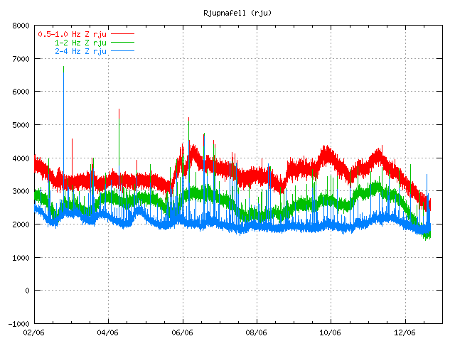

Harmonic tremor pulse can be seen on this SIL Rjúpnafell. It is more stronger signal then on Álftagröf, so it suggest that the source of this tremor pulse is closer to this station then on Álftagröf. Copyright of this picture belongs to Icelandic Met Office.

All pictures are from 16:28 UTC on 12. June 2011.

On other station around Katla volcano I do not see this harmonic tremor pulse on the Icelandic Met Office on-line tremor chart. But that does not mean that it this tremor pulse is not being detected on other SIL stations around Katla volcano.

The source of this tremor pulse is most likely an dike intrusion at great depth inside Katla volcano that is taking place without any earthquake activity. This has happened before without resulting in an eruption from Katla volcano (besides the event in the year 1999). I do not think that this means an eruption is going to happen soon. But this might signal that Katla volcano is about enter an more activity phase then in last few decades. But if that is going to turn out that way is something that only time can answer.

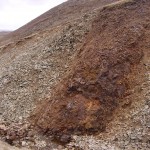
Extinct volcanoes in Hungathing Vestra county, Iceland

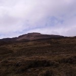
Here is an picture of how an ~5 million year old extinct volcano looks out. This pictures also show an old dike intrusion that might have gone up to the surface on that time. But I think it is hard to know that for sure, as erosion has changed the landscape a lot over the past 10 million years or so. So it hard to know for sure how deep this magma dike did actually form or if it was connected to an crater on the surface.


About 5 to 8 million years old dike intrusion into sedimentary rock that pre-dates this dike intrusion. I do not know by how much older the surrounding rock actually is. But it has small fossils in them.


The volcano that did create this old dike intrusion. The rocks in the area (old lavas) suggest that this was mostly basalt that did erupt from this volcano. But this volcano was on the old Snæfellsnes-Skagi Rift Zone.


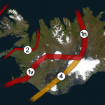
Rift Zones in Iceland. Picture is from Wikipedia. See original copy here along with copyright information. Please note that this picture is NOT completely correct in regards to the facts. But is good for basic illustration of the rift zones in Iceland. Note that this is picture is missing the Skagafjörður Rift Zone (failed rift zone).


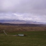
Picture of what can be seen of the Snæfellsnes-Skagi rift Zone. (I think it is the correct name for it). The mountain behind it is also an massive old volcano that was active at the same time as this rift zone. The houses there belong to my mon and dad (also on the picture below this one). They run an sheep farm.


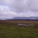
Picture of Snæfellsnes-Skagi rift Zone to the north. The same volcano as on picture above can also been seen on this picture. But what is not seen is the third volcano that is in this area (also extinct). But glacier activity did remove all major traces of that volcano long time ago.

I am going to post more pictures of this area during the summer. Even if it is just small part of Iceland, it has an lot of geological history to show. All of it is connected to volcanism and glacier activity over the past 8 million years (or about that) time. Too see full size of the pictures, just click on them.