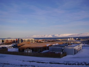
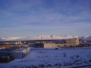
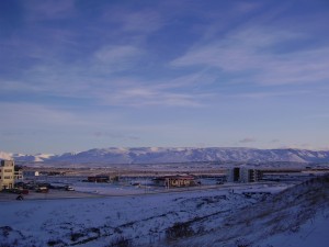
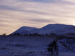
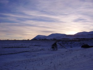
Here are pictures of Tröllaskagi from a town called Sauðárkrókur.
Tröllaskagi to the north from Sauðárkrókur. Click on the picture for larger resolution.
Tröllaskagi to the east from Sauðárkrókur. Click on the picture for larger resolution.
Tröllaskagi to the south from Sauðárkrókur. Click on the picture for larger resolution.
Tröllaskagi is a really mountainous region of Iceland. Few people live there. But there are some farms in few of the deep wallies there. But not many to my knowledge. This area also once hosted a large glacier. But there are few remains left of it today. This area is mixed in rock. But this rock also holds a different age and origin far as I know. There are theories that this might be a old continent crust that make up Tröllaskagi.
The extinct volcano
There are more interesting things around Sauðárkrókur then just Tröllaskagi. This caldera is one of the visible features from Sauðárkrókur. The current conclusion about this caldera it is extinct. While I personally don’t agree with that and believe that it might still be active given it shape. I have no way to prove it, unless it starts to erupt all of a sudden. This is a stratovolcano with a small caldera. This volcano formation is small compared to many other Icelandic volcanoes. Both active and extinct.
A zoom in of the extinct volcano caldera. Click on the picture for higher resolution of it.
A wide angel view of the extinct volcano caldera. Click on the picture for higher resolution of it.
A Google Map view of the extinct caldera from the above. It is a bit hard to see it from above.
The volcano also is on a rift zone that for some unknown reasons is not active at the moment. But a study on this rift zone can be found here (pdf) in English. I don’t know if this rift zone is going to get re-activated in the future or not. Currently there are few to none earthquakes in this rift zone.

