This is a short update on the eruption in Svartsengi volcano. This information might go outdated quickly.
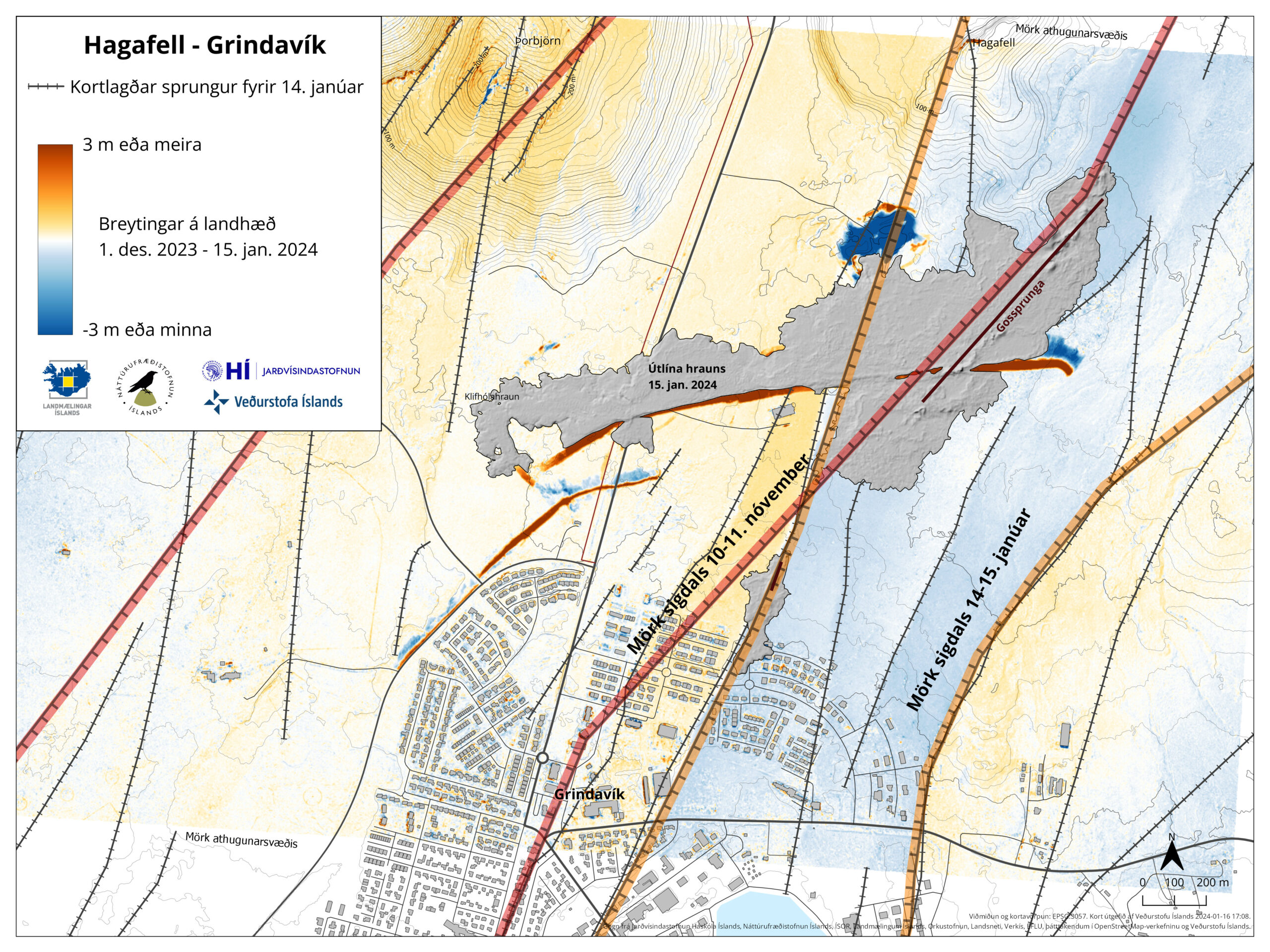
- The eruption is now on a 2 km long fissure. It is located just north of Stóra Skógfell. This is the most north part of the eruption fissure so far. Total length of the eruption fissure is 7 km, but most parts of it have stopped erupting.
- The eruption can be seen from Reykjanesbraut on the way to Keflavík or Keflavík airport.
- It is impossible to know how long this eruption is going to last. But harmonic tremor is already dropping and has been doing that since around 06:00 this morning. This eruption might last a day or it might last a month, at current time it is impossible to know.
- Icelandic Met Office lost a seismometer (Litla Skógarfell) and a GPS station under lava in this eruption. So far, its only two stations. Since one (Norðurljósavegur) GPS station had been moved out of harms way earlier in August.
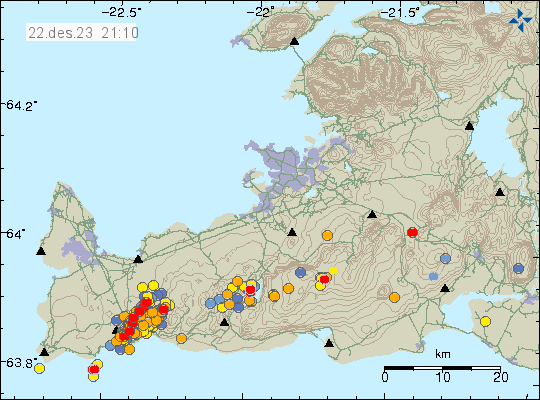
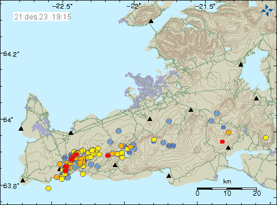
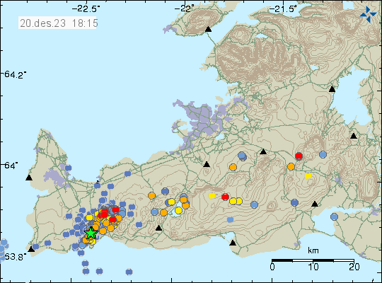
- Largest earthquakes had the magnitude of Mw4,1 and Mw3,3. The larger one was just off Fagradalsfjall volcano and the smaller one was in Keilir mountain. The larger one was felt in Reykjavík and nearby areas.
This eruption can change without warning. If anything worth reporting happens. I’ll write a new article about what is going on.