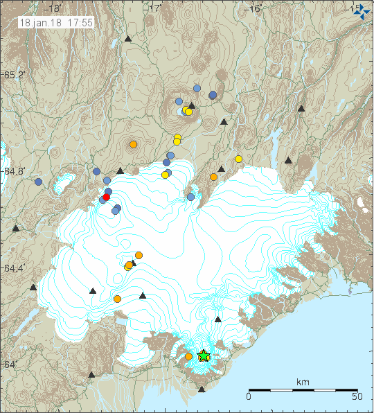
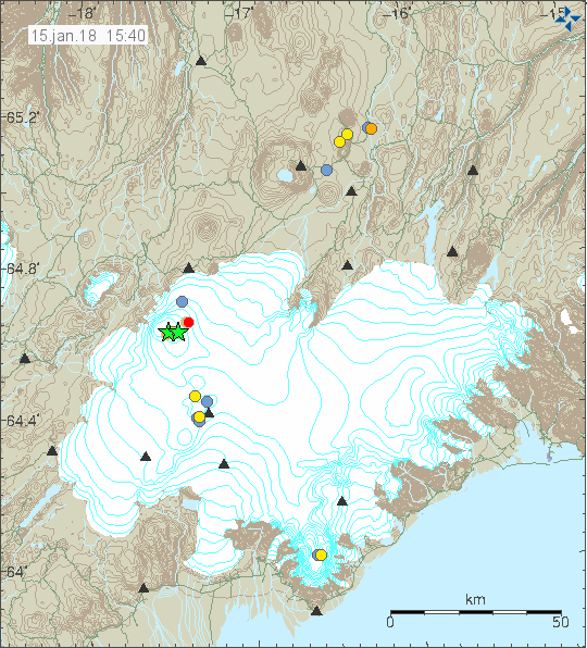
Yesterday (21-January-2018) at 21:15 UTC an earthquake with magnitude of 3,5 took place 2,5 km from Grindavík village. This earthquake was clearly felt in Grindavík village. This earthquake was at depth of 5,0 km.
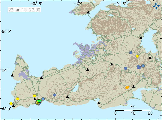
The magnitude 3,5 earthquake (green star) on the Reykjanes peninsula. Copyright of this image belongs to Icelandic Met Office.
Largest aftershock had the magnitude of 2,8 and all other earthquakes where smaller in magnitude. This earthquake swarm does seems to be over for now. There is always a risk of more earthquakes on the Reykjanes peninsula due to tectonic forces at work in this area.
Donations
Please remember to support my work with donations. Thanks for the support. 🙂