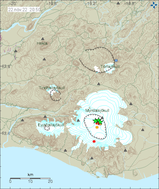
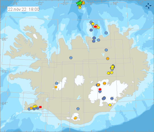
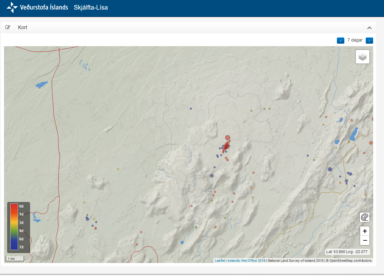
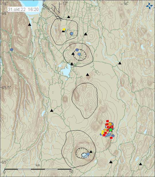
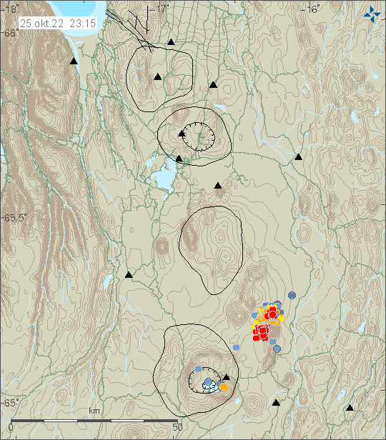
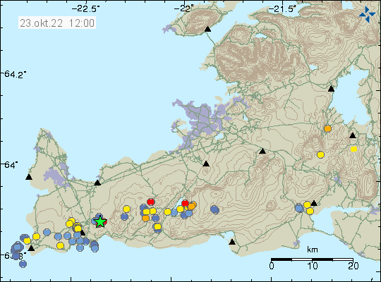
Today (23-November-2022) at 10:04 UTC an earthquake with magnitude Mw3,1 took place in Öræfajökull volcano. According to the news and Icelandic Met Office, this is the largest earthquake in Öræfajökull volcano since the year 2018. This earthquake was felt on nearby farms. There is no town close to Öræfajökull volcano. A smaller earthquake with magnitude of Mw2,6 was also felt in the nearby area. A swarm of smaller earthquakes also took place inside Öræfajökull volcano caldera. Bad weather in south Iceland is preventing detection of all the earthquake activity in Öræfajökull volcano.
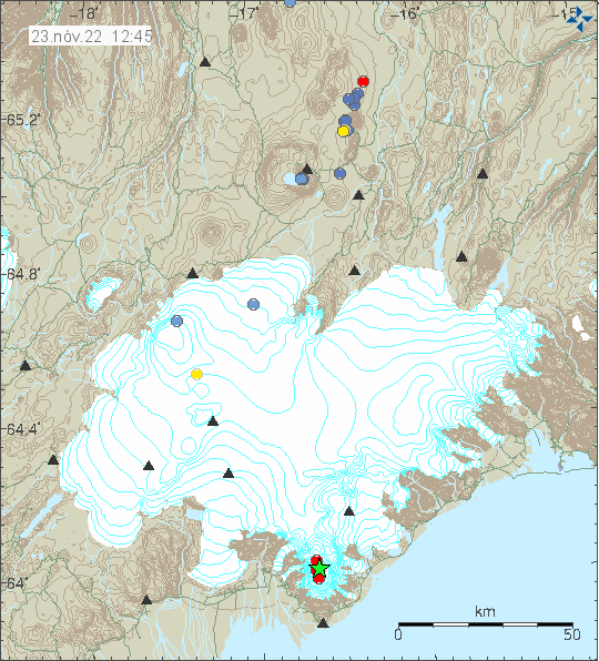
Öræfajökull volcano last time had this type of earthquake activity in the years 2018 and 2019 when it started to quiet down again. There are signs that magma is moving inside the volcano. When and if that is going to result in a eruption is impossible to know.