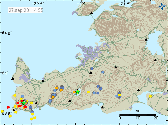
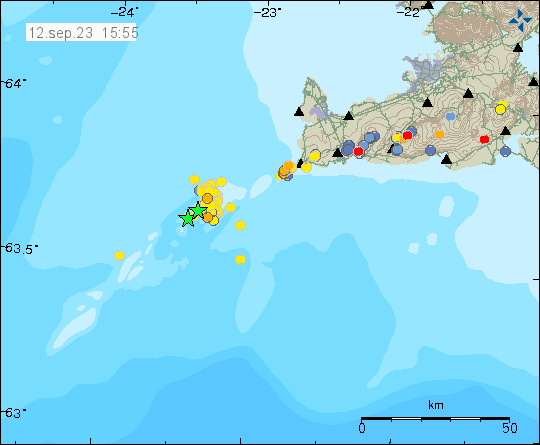
Today (27. September 2023) an earthquake swarm took place in Reykjanes volcano on Reykjanes peninsula. This earthquake swarm is ongoing at the writing of this article. At the writing of this article, the largest earthquake had a magnitude of Mw3,3 and the second largest earthquake had a magnitude of Mw3,1.
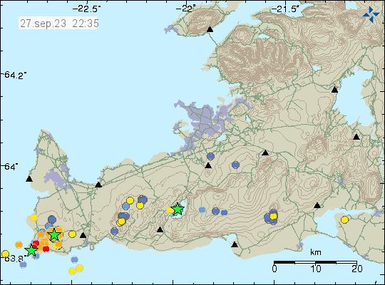
The source of this earthquake swarm seems to be magma intrusion into this part of Reykjanes volcano. I don’t know if this is going to result in a eruption, this earthquake activity seems to be too low for that to happen. That might change without warning, as sometimes happens with volcanoes. This is at least highly active time period now and what is going to happen is unclear.