This is a summary update with best information I have at the moment. Some information might be out of date without me knowing about it.
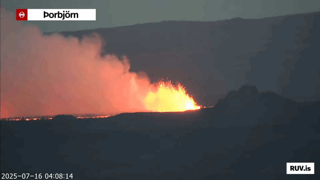
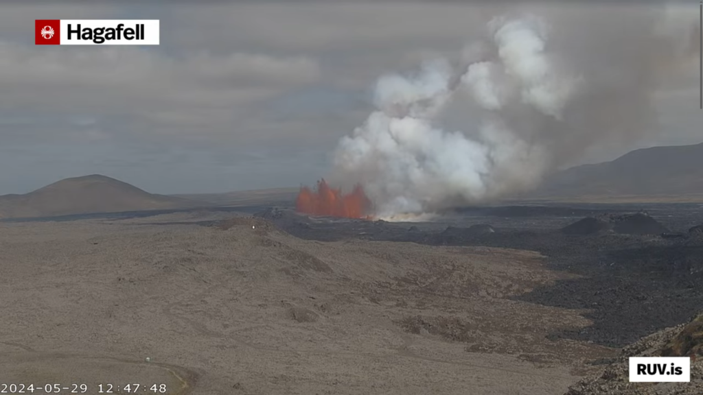
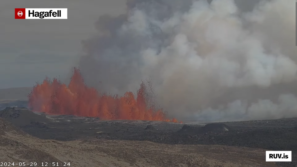
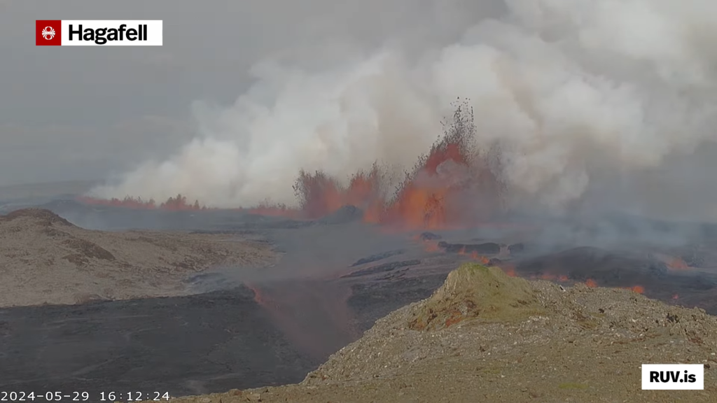
- The eruption fissure reached 2,5 km when it was at the longest length. It has started to get smaller as the eruption has dropped in intensity over the last few hours.
- This is the most northern eruption in Svartsengi volcano so far.
- The lava flow is towards Fagradalsfjall volcano and into Fagradals valley and is now filling up, if it has not done so already.
- Harmonic tremor looks stable at the writing of this article. This can change quickly and without warning.
- Early GPS data suggest that deflation of Svartsengi volcano is around 100mm for the last 12 hours where it is most. Depending on the GPS station location in the volcano system.
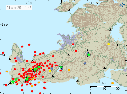
- Earthquake activity has stopped or almost stopped in the area.
- I don’t expect this eruption to last more than few days. However eruptions in this area sometimes continue in one crater at very low volume for a several weeks. At current time its impossible to know if that happens.
- Fog is currently blocking all view of the eruption. So its impossible for me to know what is happening visually.
- Gas pollution has been a problem in this eruption and wind direction. This might not improve until the eruption ends.
If there is anything more to report. I’ll post update here about it. I don’t expect there is going to be any need for any future update at the writing of this article.
Updated at 00:59 UTC on 17th of July with missing information.

