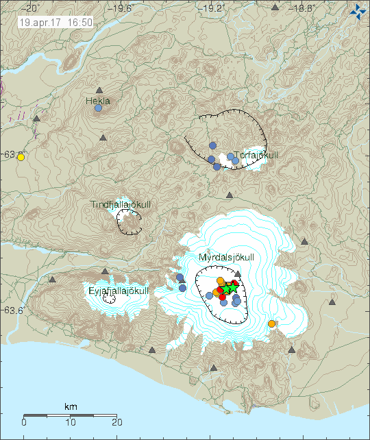
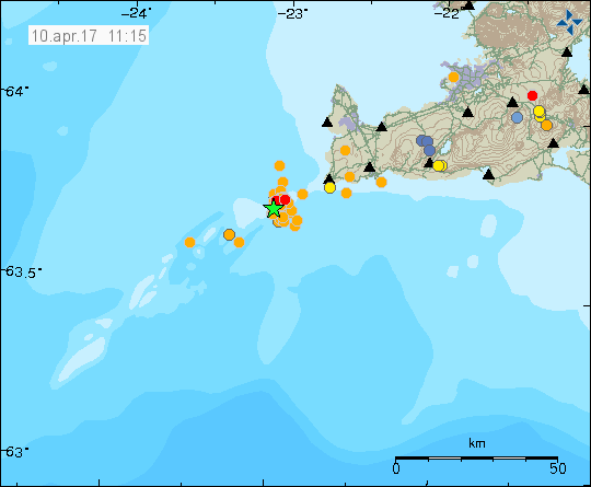
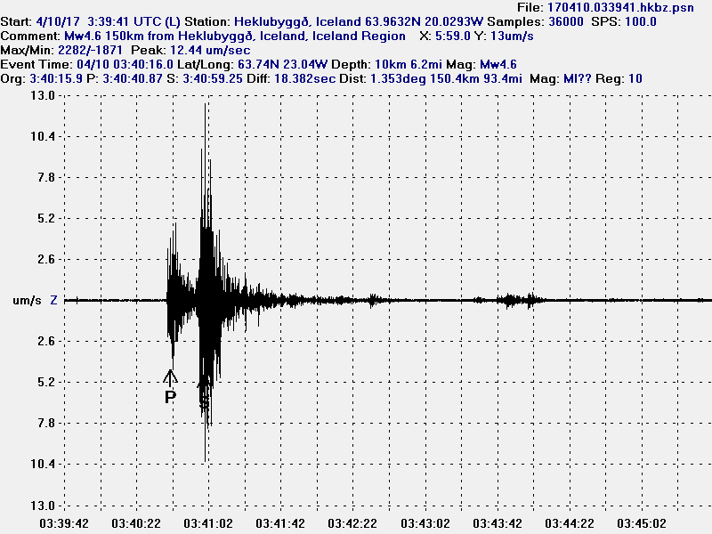
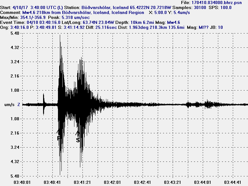
During the last 24 hours or so there has been some activity ~334 km east of Iceland. Largest earthquakes detected have had the magnitude of 3,1 and 3,1 and this are the only earthquakes that have been detected.
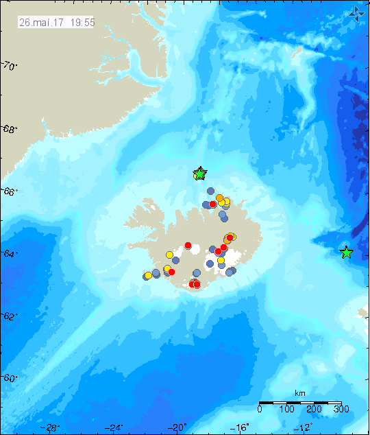
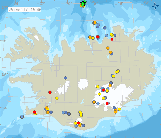
The earthquake activity way off the east coast of Iceland. This activity is closer to Faeroe Islands than Iceland. Copyright of this image belongs to Icelandic Met Office.
I have little knowledge about what is below the waves at this location. Depth at this area is around 2 – 3 km and no known volcano or fault area is at this exact location. Next ancient fault area is slight more to the north, that feature is called Aegir Ridge and is extinct. This earthquake activity is slight outside it but within its area it might effect. This might be a intra-plate earthquake activity, since this area is not active and has not been for millions of years according to studies.
Donations
Please remember to support my work with donations, they help me survive. Thanks for the support. 🙂