Small glacier flood from Mýrdalsjökull glacier on 28. April 2012 [Updated]

This has to be short. I do not have any table to cheer right now. I have already bought one (used and cheap). But I get it next week. I also do not yet have a ADSL connection so far. But this is what happens when one moves between countries.

On the 28. April 2012 there was a small glacier flood from Mýrdalsjökull glacier that on top of Katla volcano. This activity did start few days earlier according to Iceland Meteorological Office. But it did peak on the 28. April 2012. This was then followed by a small glacier flood in Múlakvísl river. The same river that had the glacer flood last summer, that did destroy a bridge in that same area.


The red line marks the harmonic tremor of Katla volcano. The blue line marks the conductivity in Múlakvísl glacier river. This is from Week 18 of the year 2012. Copyright of this picture belongs to Iceland Meteorological Office.

There was also a second event that took place in Katla volcano on 6 and 7. May 2012. But I do not know if there was any glacier flood in Múlakvísk glacier river following that event. Buit it is clear that Katla volcano is warming up again. This events are clearly something that I consider a warning on what is going on in Katla volcano. But it is a question if it continues or just stops, as so often does happen with volcanoes.

Update 1: According to a email answer that I got with a question of mine. This glacier flood is currently ongoing. It has not stopped so far. But this is a small glacier flood. But this is a interesting what is going on in Katla volcano at the moment.

Icelandic news about this.

Smáhlaup í Múlakvísl (mbl.is, Icelandic)

Blog post updated at 14:38 CEST on 11.05.2012.

Overview of earthquake activity in Iceland past few weeks

During the past few weeks it has been quiet in Iceland. With few earthquakes. March for instance was rather quiet month. In Week 17 there was more activity in Katla volcano, then the weeks before.

There have been several small earthquake swarms taking place in Iceland during past few weeks. Most noticeable was off the coast of Flatey. That is on TFZ earthquake zone. Also there was a noticeable earthquake swarm in Hengill volcano due to water pumping activity. There has also been earthquake activity on the Reykjanes ridge. Where the largest earthquake had the size of ML3.3.

Other then this minor earthquake activity. It is has been rather quiet in Iceland for several weeks now. This does happen in Iceland. But even so, there is always something interesting going on when it comes to earthquake activity in Iceland.

Short earthquake swarm on Reykjanes Ridge

This morning there was an short earthquake swarm on the Reykjanes Ridge. This earthquake swarm only lasted for about 1 hour. The largest earthquake had the size around ML3.1 (automatic size estimate).


The earthquake swarm on the Reykjanes Ridge this morning. Copyright of this picture belongs to Iceland Meteorological Office.

There is still a risk of this earthquake swarm is going to resume at any point for the moment. But it still might just be over. It is hard to know for sure at current time. The strongest earthquake was visible on my geophones in Iceland. The web page can be viewed here.

Icelandic news about this short earthquake swarm

Skjálftahrina á Reykjaneshrygg (mbl.is)

Earthquake activity close to Hekla volcano

Yesterday there was an interesting swarm of small earthquakes in Hekla volcano system, or to be accurate. The earthquake swarm took place on the edge of Hekla volcano system. How far into the SISZ it was I do not know. For some unknown reasons, the earthquakes have not yet been reviewed. So errors are in there location and depth.


The earthquake activity on the edge of Hekla volcano system. Copyright of this picture belongs to Iceland Meteorological Office.

I have no idea what this means in terms of possible eruption in Hekla volcano. But this activity is interesting. But this is however not something that is new to this area. But it is uncommon anyway.

Activity in Hekla volcano system can be monitored on my web page with webicorders. Some of them have high human and wind noise however. As this is not expert setup that I am using.

Earthquake swarm in Hengill volcano

Yesterday (21.04.2012) an earthquake swarm started in Hengill volcano at 18:57 UTC on 21.04.2012. The area in question is well known for having earthquakes swarms during past few months. It seems that this earthquake swarm is not over, and there is also a risk of stronger earthquakes in Hengill volcano than have currently happened. But the largest earthquake so far was event with the magnitude ML2.8.


Earthquake activity in Hengill volcano at 00:50 UTC on 22.04.2012. Copyright of this picture belongs to Iceland Meteorological Office.

Icelandic news about this earthquake swarm.

Jörð skelfur við Hellisheiðarvirkjun (mbl.is, Icelandic)

Earthquakes recorded in Snæfellsjökull volcano

Snæfellsjökull volcano is not often in the news in Iceland. But today there was a short news about it due a study that was done last summer on earthquake activity in Snæfellsjökull volcano. The study was to see if there where any earthquake activity in Snæfellsjökull volcano. The results are really interesting, the main result was there is a lot of earthquake activity in Snæfellsjökull volcano. But also that most of the earthquakes take place on the depth from 9 to 13 km depth. This study was done by Matteo Lupi and Florian Fuchs at Bonn University in Iceland.

The reasons for earthquake activity in Snæfellsjökull volcano is magma. There are not a lot of tectonic movement in Snæfellsjökull volcano area. As it is a volcano zone, but not a rift zone as is the case in most areas of Iceland. But so far it seems that there is no risk of volcano eruption for now. At least that is the opinion for the moment.

Image removed at the request of its author.

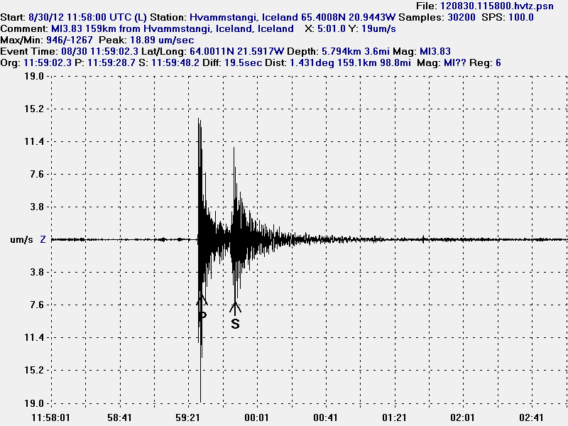
Currently there is no permanent SIL network (IMO wants to install SIL stations, but they lack funding to do so) or other type of Seismometer network on Snæfellsnes peninsula. This is bad, because this area has three active volcanoes that erupted around 1000 years ago. Along with populated areas close to this volcanoes. I plan on trying to setup few geophones in that area if I can. But currently I do not have any money or way to install and run geophones on Snæfellsnes peninsula. My closest geophone to Snæfellsnes peninsula is at Hvammstangi village. Closest the distance is around 84 km or so to the Ljósufjöll volcano. But that means I can record earthquakes down to ML1.0 in the best weather. But since I just have one geophone in this area at the moment. I cannot locate any earthquakes. I just know that they take place.

This is based on blog post from Haraldur Sigurðsson, geologist.

Blog post and news about this in Icelandic

Jarðskjálftar undir Snæfellsjökli kalla á skjálftamælanet (blog.is, Icleandic)
Þörf á skjálftamælum við Snæfellsjökul (mbl.is, Icelandic)

Blog post updated at 20:10 UTC on 17.04.2012
Blog post updated at 20:13 UTC on 17.04.2012
Blog post updated at 15:23 UTC on 20.04.2012

Great earthquakes off Sumatra

This morning a earthquake swarm started off coast of Sumatra. This earthquake swarm has had two great earthquakes. But that is earthquakes that are larger then Mw8.0 in magnitude. The first earthquake had the magnitude Mw8.6 at least and took place at 08:36 UTC. At 10:43 UTC there was an earthquake the magnitude of Mw8.1 at least. There have been many other smaller earthquakes taking place currently. Tsunami warning has been issued for the whole area due to this earthquakes.

Information can get found at EMSC or USGS.

Look at Tungnafellsjökull volcano earthquake swarm

Here is a quick look at the earthquake swarm in Tungnafellsjökull volcano this morning. This earthquake swarm is interesting, as it started with few earthquakes at the depth of around 10 km. This suggests that magma might be pushing up to the volcano at depth now. So far this is not any high volume in my option, at least not enough to start an eruption now. But if this progress continues, it is going to end with an eruption one day. But when and how big is impossible to know at current time. for the moment the earthquakes have stopped. But it is my opinion that this a dike intrusion, not tectonic earthquakes. This can be seen how the earthquakes line them self up from 12.6 km depth and up to 3.6 km depth in almost straight line based on there location.


The earthquake swarm in Tungnafellsjökull volcano. Copyright of this picture belongs to Iceland Meteorological Office.

The earthquake swarm is dense, but that suggests an magma dike intrusion from deep within the volcano. Similar earthquakes have been seen in other volcanoes, like Esjufjöll, Askja, Katla so few are mentioned. So I know this pattern when I see it.


The earthquake pattern as it did appear on Skrokkalda SIL station. The tremor chart shows that the earthquakes where high-frequency earthquakes for most part. Something like that was seen in Eyjafjallajökull volcano before it erupted (it had earthquakes like that many years before it erupted, not just few weeks before). Copyright of this picture belongs to Iceland Meteorological Office.

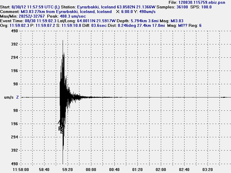
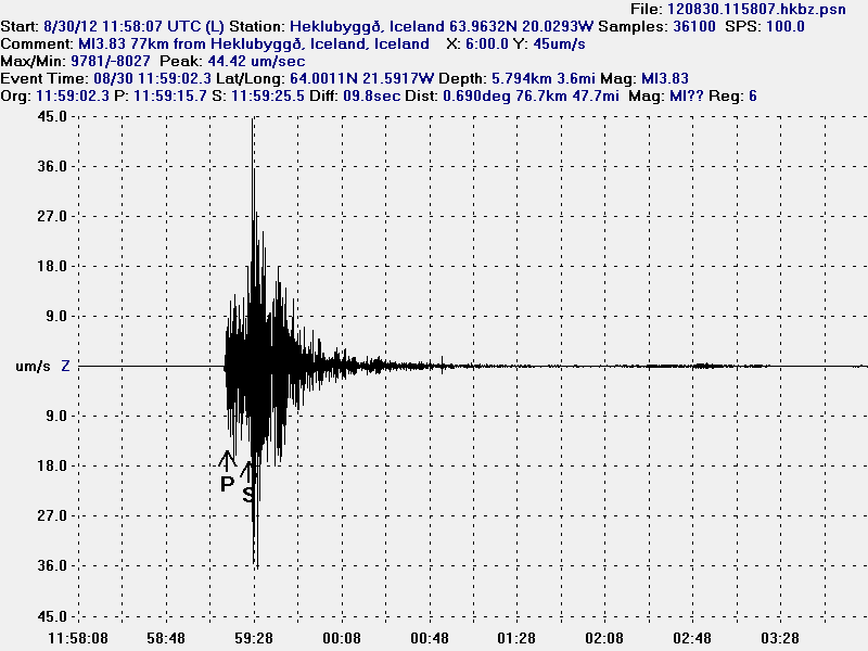
I did record the largest earthquake on my geophone at Hvammstangi and at Heklubyggð. Based on that trace, the earthquake was noisy. Given me even more clues that support my suggestion that the earthquake swarm was due to dike intrusion.

Similar dike intrusion events are now taking place in Kverkfjöll volcano. But I am going to write about that tomorrow. But earthquakes in Kverkfjöll volcano have been taking place for several years now, with short and long breaks between earthquake swarms.

Interesting earthquake activity in Tungnafellsjökull volcano

This is not the most known volcano in Iceland, it also has not erupted in the last 10.000 years at least. Normally this volcano does not have any earthquakes and it remains really quiet. Last major earthquake activity was in the year 1996 in relation to the activity in Bárðarbunga volcano and in Grímsfjall volcano that year. This volcano is named Tungnafellsjökull. It is a small volcano compared to other volcanoes in the area. During the past few days there have been several interesting earthquakes in Tungnafellsjökull volcano. They are small, around ML1.6 the largest ones. But they do have the depth of 10 to 12 km. That is what makes this earthquake activity interesting. Since this suggest that magma might be pushing into the volcano. However at this point in time, there is nothing to suggest an eruption is even close to start there. But with all long dormant volcanoes, nobody never knows what can happen next in them.


The earthquake activity in Tungnafellsjökull volcano. The volcano is located NW of Vatnajökull glacier. Copyright of this picture belongs to Iceland Meteorological Office.

Following the later earthquake today. This activity started on Skrokkalda SIL station. But this might be due to activity in Hamarinn volcano (Loki-Fögrufjöll at GVP). Not Tungnafellsjökull volcano.


The odd tremor activity on Skrokkalda SIL station. I do not yet have any explanation for this activity. Note that Skrokkalda SIL station is on top of a volcano (not on GVP list, but geological maps made in Iceland), named Skrokkalda, it also has not erupted in historical times to my knowledge. Copyright of this picture belongs to Iceland Meteorological Office.

What happens next in Tungnafellsjökull volcano is impossible to know. But it is most likely going to do what it has been doing for the past 10.000 years. A lot of nothing.

Overview of current events in Askja volcano

The current events in Askja volcano started in Week 9 of the year 2010. Before that, Askja volcano has been showing signs of change since the year 2007 at least. In the year 2010, Week 9 a earthquake swarm was recorded by Iceland Meteorological Office. Most of the earthquakes where at around 20 km depth, and it was followed by considerable amount of harmonic tremor activity. I did know about it at the time, but I did think it would be at least 10 to 20 years until Askja volcano would not erupt. But this might have been a event in an series of event that started long time ago, without me knowing about it before (I am still checking data, it takes some time).


The earthquake activity in Askja volcano in Week 9 of the year 2010. Copyright of this picture belongs to Iceland Meteorological Office.

The image above clearly shows where magma was flowing into Askja volcano around 20 km depth. But they are to the north-east of Askja lake. The depth of this earthquakes was from 20 to 23 km.


Map of earthquake activity in Askja volcano. The green dots are earthquakes with a shallow depth, that is depth from 2 to 8 km. Yellow earthquakes have the depth of 12 to 30 km. This data is from the year 2007 at least. Copyright of this picture belongs to its owner (Janet Key).


The depth of the earthquakes in Askja volcano. Copyright of this picture belongs to its owner (Janet Key).


Depth of the earthquakes. This view shows also where the earthquakes are taking place in Askja volcano and close to it. Copyright of this picture belongs to its owner (Janet Key).

All of this map and charts are from this blog post here.


This is a heat camera image of Askja lake. Copyright of this picture belongs to Iceland Coast Guard, the image is from here.

Last year (2011) there was an dike intrusion in north part of Askja volcano. This dike intrusion was clear by a earthquakes that took place. But it stopped and has not shown any activity again in this area. As sometimes happens with dike intrusions. But this activity is an good sign that magma is now flowing into Askja volcano again. But over period of at least 10 to 20 years, it seems that magma has been flowing out of Askja volcano system. Where it has been going I have no idea. But some hypothesis suggests that it might be flowing into Krafla volcano. But there is no good data to support this hypothesis in partial.


Activity in Askja volcano in the year 2011. This activity took place on 05.05.2011 at 16:25 UTC. Copyright of this picture belongs to Iceland Meteorological Office.

At the moment there is nothing that suggest eruption is imminent. But current progress in Askja volcano is something to keep an watch on. But it is also clear that current status in Askja volcano is changing fast. So while there is nothing to suggest a eruption at the moment, it might change without warning in Askja volcano.

Pictures of Askja lake.

Askja lake 12 June 2011.
Picture of Askja lake (32 months ago according to flickr.)