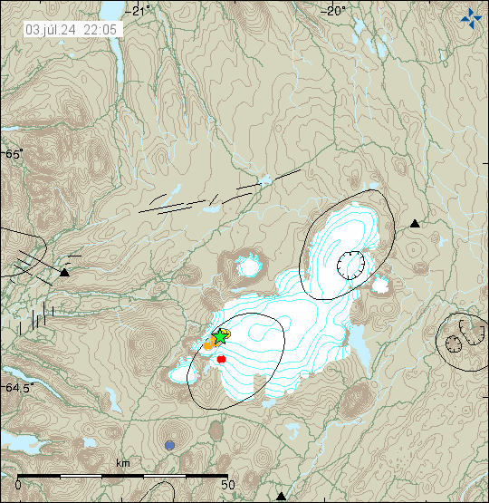
Today (3-September 2024) at 16:31 UTC an earthquake with magnitude of Mw5,0 took place in Bárðarbunga volcano. This was followed by few smaller earthquakes and there has been increased minor earthquake activity in Bárðarbunga volcano in recent days.
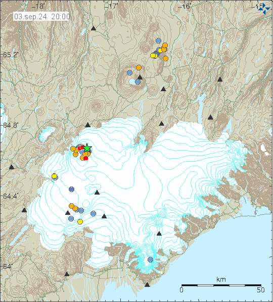
This size of earthquake is going to happen in Bárðarbunga volcano at least once to twice a year for the next 40 to 60 years. I am not expecting an eruption in Bárðarbunga volcano until at least 2120 and no earlier then the year 2090. Until then, its going to be decades of earthquake activity like this one.