New earthquake swarm in El Hierro volcano

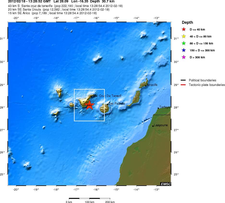
During the past few days there has been an earthquake swarm in El Hierro volcano in Canary Islands. Following this earthquake swarm there has been some increase in eruption activity. Resulting in some material reaching the surface of the ocean. The reason for this activity is that new magma is being injected into El Hierro volcano from depth. This magma is pushing the magma that is already there closer to the surface, creating dikes and sills in the rock along the way. This also increases the eruption in already open vents.


The harmonic tremor activity in El Hierro today. Copyright of this picture belongs to IGN.

The largest earthquakes in this swarm have had the size ML2.7 and ML3.4. They have been taking place at the depth of 12 to 15 km, based on early data from IGN.


The ML3.4 earthquake in El Hierro volcano that did happen during the night. Copyright of this picture belongs to IGN.

I am expecting this activity to continue for some time now. As it seems that more magma is coming up from depth. How long that progress is going to last is impossible to know. When it stops, it does so and only then the activity in El Hierro volcano is going to stop.

First earthquake detected on Skeiðflöt geophone

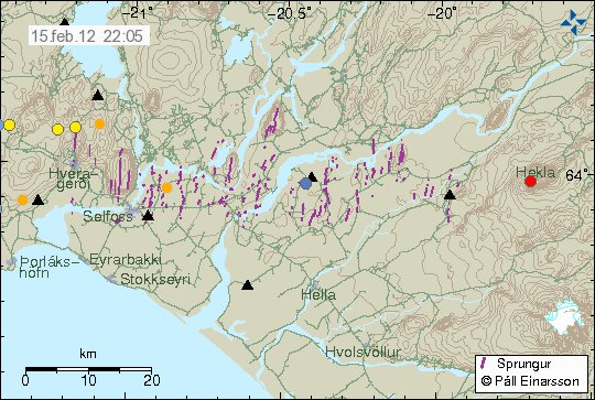
This here is the first earthquake that I properly detect on my new geophone at Skeiðflöt farm. This is an ML2.0 earthquake in Katla volcano caldera according to IMO automatic SIL network. Even if there is high noise level I was still able to record it clearly. I might have recorded smaller earthquakes already. But they do not appear clearly so it is hard for me to be sure at the moment if I actually recorded them due to high levels of background noise.


The ML2.0 earthquake in Katla volcano caldera. This is based on automatic data and might not be 100% correct. This picture is released under CC licence. See Licence web page for more details.

This is promising for many reasons. It means that I can see earthquakes clearly even if there is high background noise level taking place at Skeiðflöt geophone. This also means that I am clearly going to see harmonic tremors and other events in Katla volcano, even in the glacier also. But this also depends on the noise level at the time. I do hope that the noise level is lower in summer then it is during the winter.

Minor dike intrusion into Bárðarbunga volcano and earthquakes deep south of Iceland

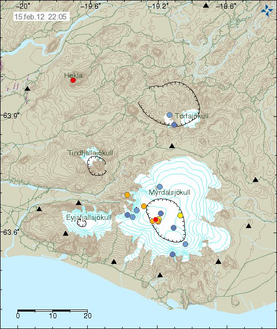
Yesterday (03.02.2012) at 10:42 to 10:47 UTC there was an minor dike intrusion into Bárðarbunga volcano. Based on the earthquake activity and the depth that they where on. It seems that they did not go close to the surface. Based on the earthquake pattern, the dike intrusion did only go up to the depth of 12 km. But this dike intrusion did rise up from the depth of 22 km.


The dike intrusion into Bárðarbunga volcano. It can be seen by the dense earthquake swarm in Bárðarbunga volcano. Copyright of this picture belongs to IMO.

It is hard to know what this means. But it is for sure an clear sign of more activity in Bárðarbunga volcano. But this is no clear sign that an eruption might be about to take place in the nearby future.

Reykjanes Ridge

Yesterday (03.02.2012) there was an earthquake swarm deep south of Iceland. This earthquake swarm was located on the Reykjanes Ridge. It is impossible to know for sure what was going on at this location due to distance from land. But the average distance of this earthquake swarm is about 450 km south of Eldeyjarboða on the Reykjanes Ridge. The recorded size of this earthquake swarm was from ML3.1 to ML3.3. But that is most likely an underestimate of the earthquake size due to distance from the SIL network.


The star mark the earthquakes. Copyright of this picture belongs to IMO.

Other then this it has been quiet in Iceland. But that has more to due with storms and bad weather. But it has also been quiet in Iceland during the past few weeks. It might continue like that for some time now. When this ends is impossible to know for sure.

Skeiðflöt geophone is up and running

Today I started the geophone at the farm Skeiðflöt. It is just south of Katla volcano. Some setup spikes are on the webicorder plot at the moment. But they should be clear off in the next 24 hours.

Currently there is bad weather in the area and it seems to show on the geophone at Skeiðflöt. But this new geophone adds to the sensitivity of my network and allows me to see earthquakes down to ML0.0 in good weather taking place in Katla volcano. But all large earthquakes should appear on this geophone regardless of most weather conditions outside. This geophone also increases my chances of seeing earthquakes in Eyjafjallajökull volcano if any take place to start with (it has been quiet after the eruption in the year 2010).

All my currently online geophones can be viewed online here. The webicorders are updated every 5 min.

Earthquake swarm in Katla volcano caldera

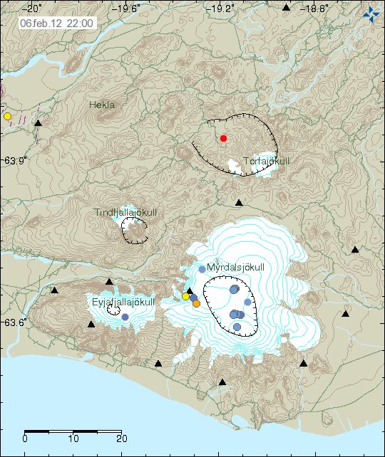
This morning there was an earthquake swarm in Katla volcano. This is the first earthquake swarm of the year 2012. This earthquake swarm is most likely created by an dike intrusion. Based on how dense the earthquake swarm appears to be. But that is often an sign of an dike intrusion in an volcano. How this earthquake swarm is going to evolve over the next few hours impossible to know for sure. That depends on what the magma is going to do that is creating this earthquake swarm.


The earthquake swarm in Katla volcano. It is dense as can be on this picture from Iceland Meteorological Office. Copyright of this picture belongs to Iceland Meteorological Office.

The earthquakes can be seen on my geophone web page here (English). The geophone at Skeiðflöt is going to go up this week. So all activity in Katla volcano is going to appear more clearly following that. Sadly. No high resolution of the earthquakes that take place is not going to be available until I move back to Denmark. As my main earthquake computer is offline and is going to be so until that time.

I am going to post updates to this if anything more happens. But it might take a while as I am travelling today to Reykjavík area and tomorrow I am going to Skeiðflöt tomorrow.

Update on Grímsfjall volcano glacier flood

During the past several hours the amount of water in the glacier flood from Grímsfjall volcano has not dropped a lot, but this glacier flood started two days ago (27.01.2012 around 12:00 UTC). But that might be down to heavy rain in the area. Normally a glacier flood from Grímsvatn lake (inside the Grímsfjall volcano caldera) last for about one to two days during a normal glacier flood. It is believed that this glacier flood is from Grímsfjall volcano glacier lake. But it might be hard to confirm this during this time of the year.


Possible noise from the glacier flood on this SIL station. This might however be increased noise due to heavy rain on it. Copyright of this picture belongs to IMO.

I have known for some time now that Grímsfjall volcano is preparing for a new eruption. This I know because of the increase in earthquake activity and increased hydro thermal activity in Grímsfjall volcano. So far there is nothing that suggest that Grímsfjall volcano is going to erupt this time around, at least for the moment. I am expecting this glacier flood to be over in the next several hours. No earthquakes have happened in Grímsfjall volcano during this glacier flood. I do not expect them to take place unless magma starts moving inside Grímsfjall volcano. Be that dike intrusion or start of an eruption.

Icelandic news about the glacier flood.

Óbreytt ástand í Gígjukvísl (mbl.is)
Sama vatnshæð í Gígjukvísl (Rúv.is)
Vatnshæð hélst óbreytt í nótt (Vísir.is)

Glacier flood from Grímsvatn lake on Grímsfjall volcano

It has just been announced in the news that Grímsvant glacier lake has just had an glacier flood, but this lake is in the Grímsfjall volcano caldera. This glacier flood is believed to have started yesterday around 12:00 UTC. The glacier river that the water is running into is called Gígukvísl. So far this appears to be minor flood so far. But I do not know how much water as in Grímsvatn lake when this flood did take place.

At current time it is impossible to know if an eruption is going to take place following this glacier flood from Grímsvatn lake in Grímsfjall volcano.

I am going to post more information about this as I get them.

Icelandic news about this. Use Google Translate if you want to get incomprehensible news about this event.

Líklegt að Grímsvötn hafi hlaupið (Vísir.is)
Hlaup í Gígjukvísl (Rúv.is)
Jökulhlaup í Gígjukvísl (mbl.is)

Etna volcano prepares for new eruption

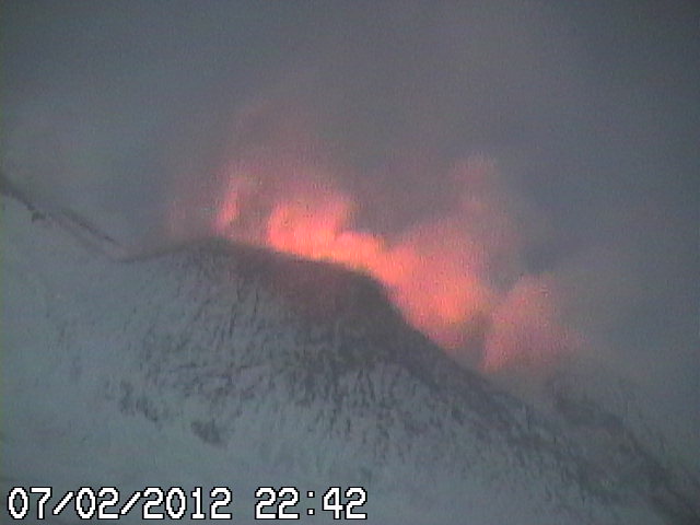
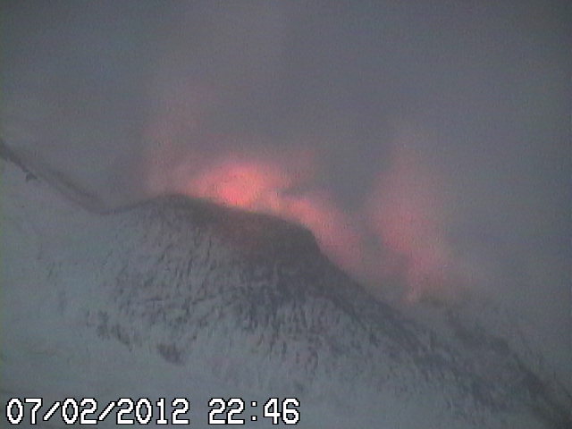
According to web cam images and images on the internet of Etna volcano. It seems that Etna volcano is preparing for an new small eruption. When and how big this eruption is going to be is impossible to know for sure. But ash emission have already started in the crater that is most likley going to erupt.

I am going to update this blog post with more details if I can get them.

An new Mw5.0 earthquake in north Italy

Today at 14:53 UTC there was an Mw5.0 earthquake in north Italy according to EMSC. This earthquake had the depth of 60 km according to EMSC. This earthquake was felt in the area. But I have not seen any reports of damage from this earthquake. According to GVP this area of Italy is not volcanic in nature. Next active volcano is considerable distance to the south of this earthquake. This earthquake follows an swarm of earthquakes in this area. It is hard know for sure if this an pattern of something larger, or if this is just an minor earthquakes swarm that is over or is just about to be over.


Location of the earthquake according to EMSC. Copyright of this picture belongs to EMSC.


Local view of the earthquake according to EMSC. This earthquake was below an mountain range that is forming in this area. Copyright of this picture belongs to EMSC.

So far the largest aftershock in this area following this earthquake was an ML3.2 in size. That earthquake took place at 15:32 UTC. This earthquake was also felt in the nearby towns. It is my view that more earthquakes should be expected in the next few hours to days. But it is impossible to know how large and how many earthquakes there are going to be in this area.

A Mw5.3 earthquake in Crete, Greece

At 01:33 UTC there was an Mw5.3 earthquake in Crete, Greece according to EMSC. The depth of this earthquake was 13 km according to EMSC. Size, depth and location might change when this earthquake is reviewed. This earthquake appears to be an aftershock of an Mw5.3 earthquake that took place last night yesterday. Following this earthquake there have been more aftershocks in the same area. The largest earthquake being ML3.6 in size according to EMSC. An unrelated earthquake with the size of ML3.9 took place in Greece few moments after the Mw5.3 earthquake.


The regional location of the earthquake according to EMSC. Copyright of this picture belongs to EMSC.


Local view of the earthquake according to EMSC. Copyright of this picture belongs to EMSC.

More earthquake activity should be expected in this area in my view. But how and where is close to impossible to know for sure. More aftershock activity should also be expected in next few hours to days.