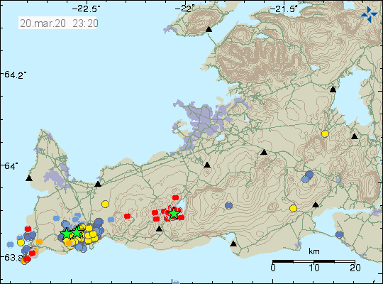
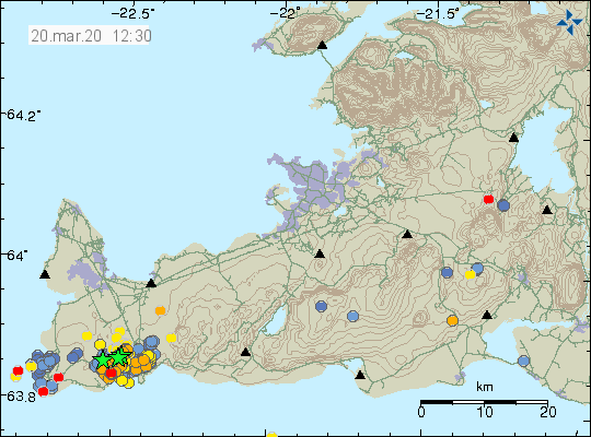
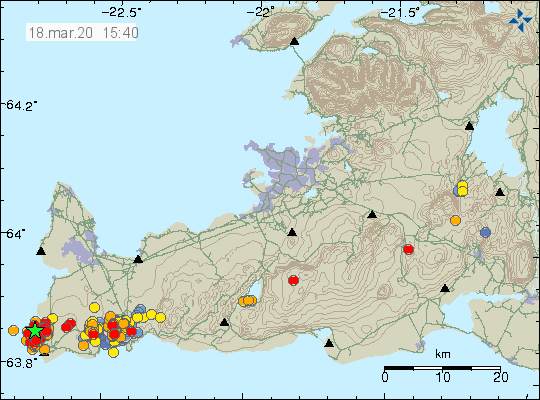
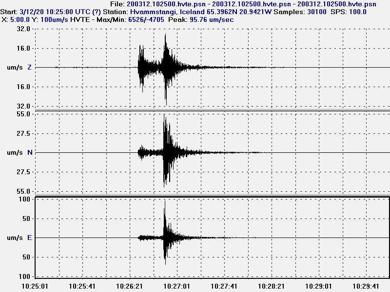
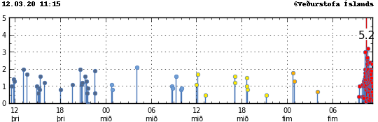
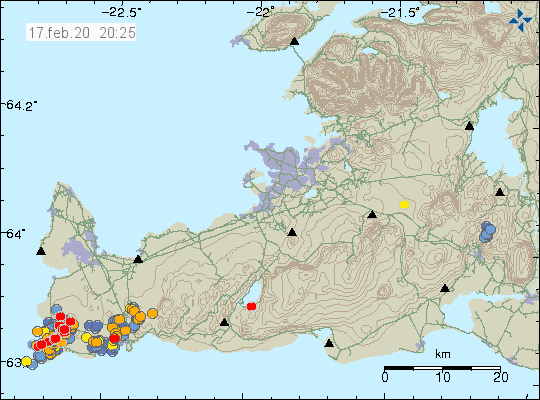
Today (25-March 2020) two earthquakes happened in Reykjanes volcano. Largest earthquake had a magnitude of Mw3,1 and the second earthquake had a magnitude of Mw3,9. Other earthquakes were smaller in magnitude but this earthquake swarm seems to be over for now but activity in this area is ongoing and there is no signs that activity is going to stop in this area.
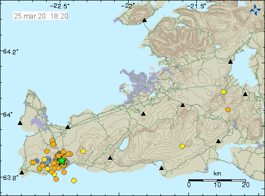
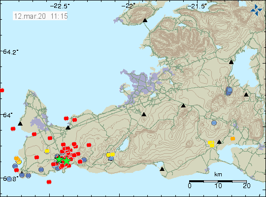
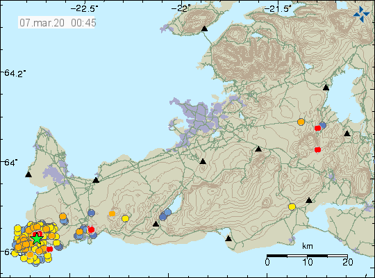
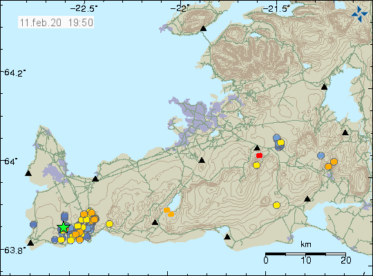
Earthquake activity on the Reykjanes peninsula in the volcano Reykjanes. Copyright of this image belongs to Icelandic Met Office.
Inflation is ongoing in the area around Grindavík village and even if it is slower than in January it has not stopped. This explains the earthquake activity in this area. Activity happens in swarms and it is quiet between swarms. What is interesting is that time between swarms seems to be getting shorter and magnitude of some of the earthquakes seems to be getting stronger. I am not sure why that is.
Donations
Please remember to support my work. It helps me to keep this website going and writing on here. Thanks for the support. 🙂