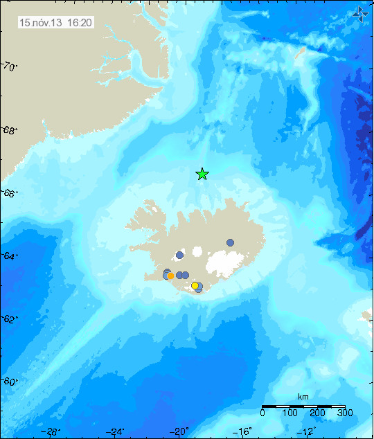
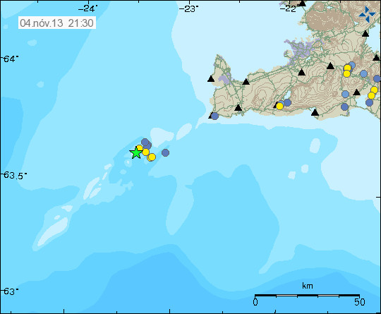
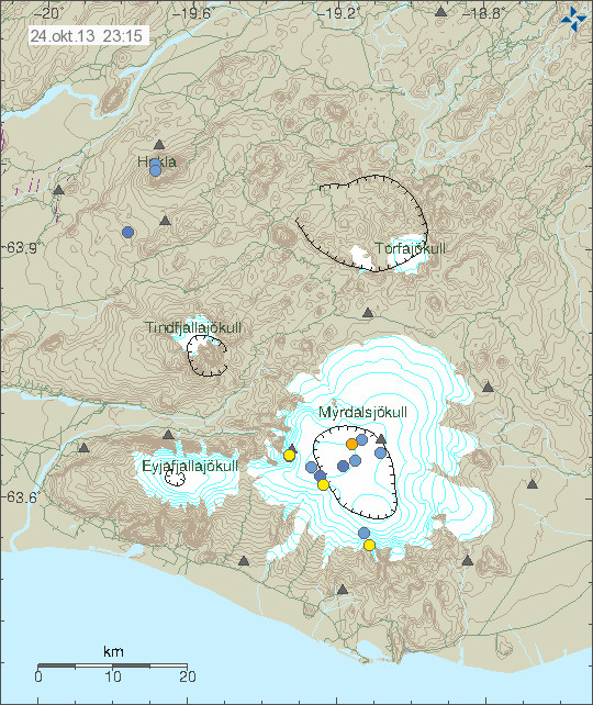
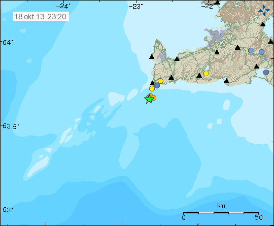
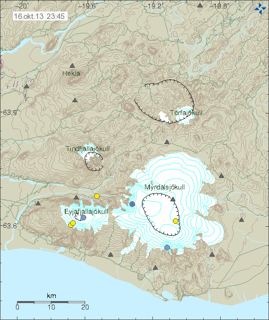
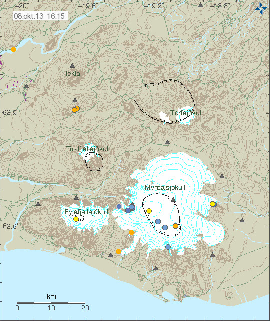
Today (10-October-2013) an minor earthquake swarm took place in Eyjafjallajökull volcano. This is the first earthquake swarm in Eyjafjallajökull volcano since the eruption stopped in May-2010 [link, Wikipedia]. This just appears to be an earthquake swarm, currently there are no signs of new magma getting into Eyjafjallajökull volcano. I am uncertain on what is creating this earthquake activity, but this might be old magma starting to move again or just stress changes in the volcano, the reason remains unclear as is. It is also important that this earthquake activity is minor, none of the earthquakes so far has reached the magnitude 2,0. The largest earthquake recorded had the magnitude 1,0 at 4,3 km depth.
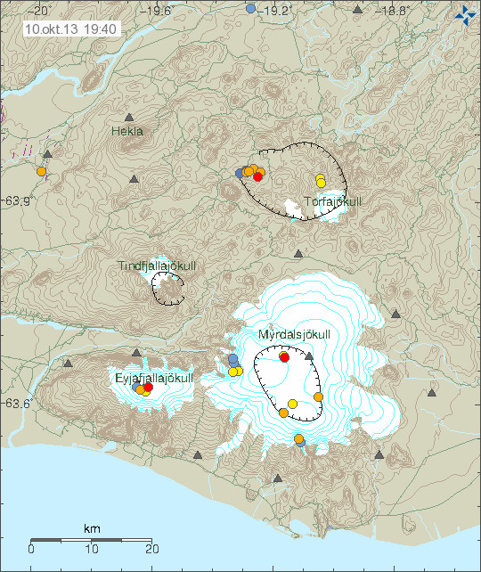
Earthquake swarm in Eyjafjallajökull volcano today (10-October-2013). Copyright of this image belongs to Icelandic Meteorological Office.
There are no signs that any volcano activity is about to take place in Eyjafjallajökull volcano. So far it’s just earthquakes and nothing else. If this is old magma on the move there is a slight chance it might reach the surface via old transport tubes , such events would never be anything more than just minor explosion. It would not be anything like what happened in the year 2010. The only reason why this earthquakes are being detected today is because there is now a dense SIL network around Eyjafjallajökull volcano that measure it’s every earthquake and change that takes place. At the moment I doubt this is going to be anything like what happened in the 19th century eruption of Eyjafjallajökull volcano [link, wikipedia]. Currently there are no signs of such event is about to take place at current time. There are also no signs that show an imminent or possible eruption in Eyjafjallajökull volcano.
I do not expect anything more to happen in Eyjafjallajökull volcano. It might, but I am not expecting anything at this time of writing.
Blog post updated at 23:12 UTC on 10-October-2013.