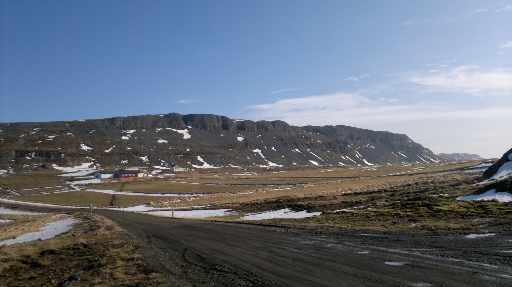
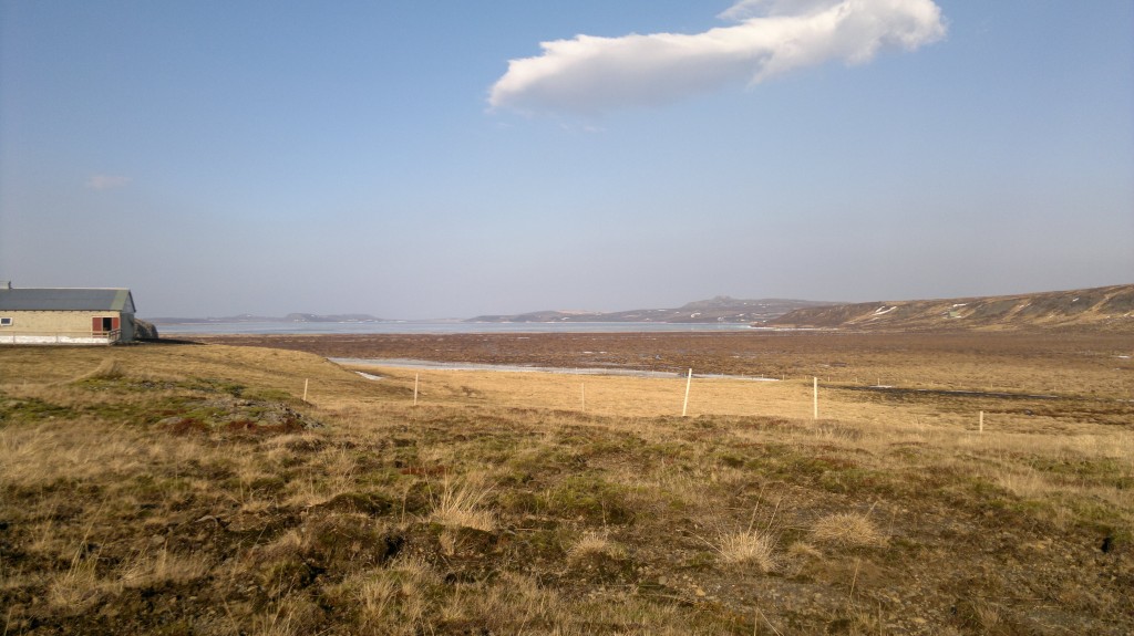
Here is a picture of what remains of Snæfellsnes – Húnaþing Rift zone. But this rift zone was activity about 4 million years ago. I do not know why this part of the rift zone is visible. But it seems to have escaped glacier erosion during past 4 million years since it became extinct.

The visible part of the Snæfellsnes – Húnaþing rift zone that was active about 4 million years ago. The farm in this picture is called Bjarghús. This picture is released under Creative Common Licence. Jón Frímann Jónsson took this picture on 24.03.2012.

This is where the visible rift zone disappear back into the ground. Its visibility resumes at distance. This picture is released under Creative Common Licence. Jón Frímann Jónsson took this picture on 24.03.2012.

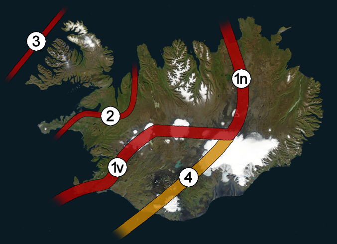
The Snæfellsnes – Húnaþing rift zone is number two on this picture. What can be seen above ground is just a small part of it. This picture has been released under public domain licence. See this web page here for more details. This picture is not 100% correct on the details on the rift zones in Iceland. But is a good start for it.
Older blog post about this area can be found here. I am not expecting any eruption in this area. But it is always a possibly of a volcanic cone popping up in area like this. As the closest volcanoes to this area are only at the distance of 80 to 90 km south of it. But that is the Langjökull volcano, in the north part of it.
