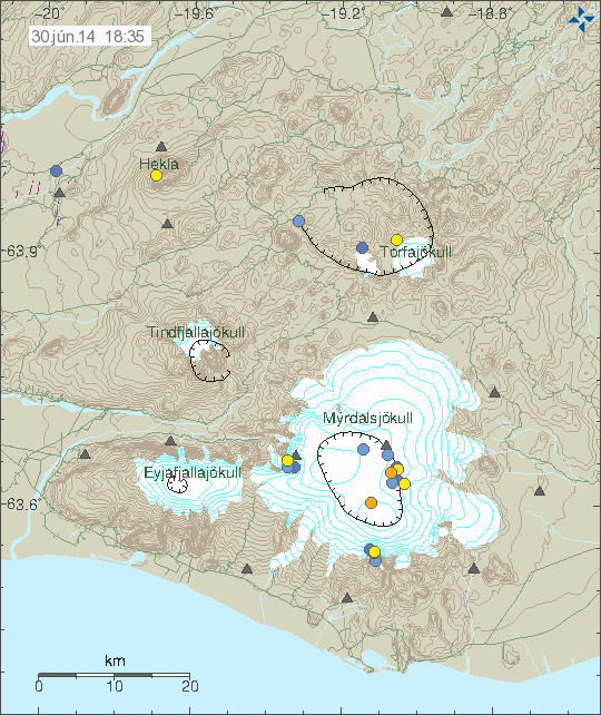
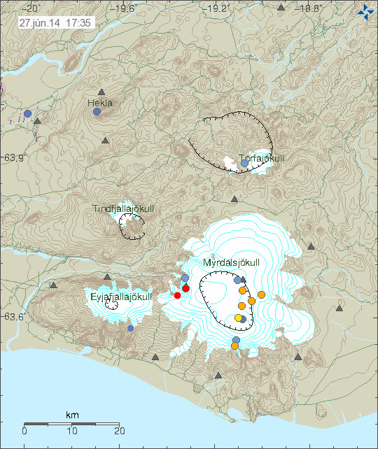
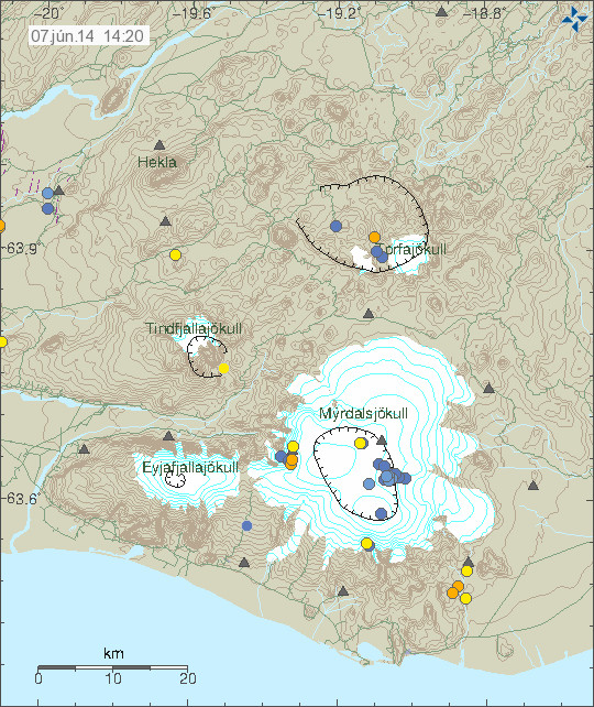
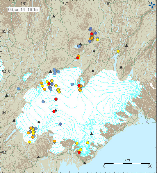
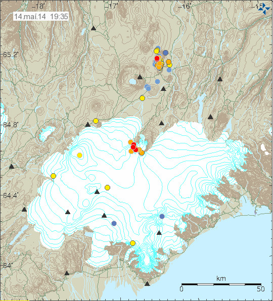
There is currently an ongoing earthquake activity in Katla volcano. So far this earthquake activity has been small in terms of magnitude, with the largest earthquake only having the magnitude of 2,7.
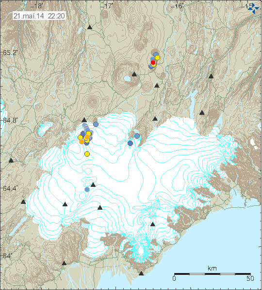
The earthquake activity in Katla volcano. Copyright of this image belongs to Icelandic Meteorological Office.

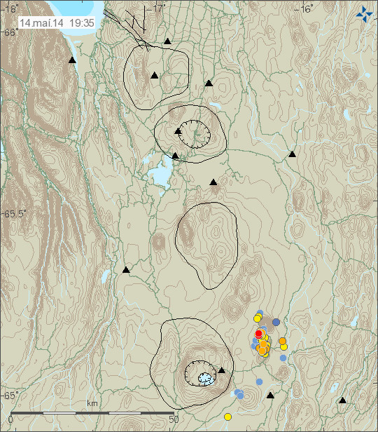
Updated image of the activity in Katla volcano. Copyright of this image belongs to Icelandic Meteorological Office.
The earthquakes that I have recorded so far are low period earthquake. Suggesting that they are being created due to magma or hydrothermal change inside the volcano. So far nothing suggests that an eruption is imminent. But I find this activity in Katla volcano suspicious and something that needs to watch, since I think this might be a risky situation and it might change on short notice.
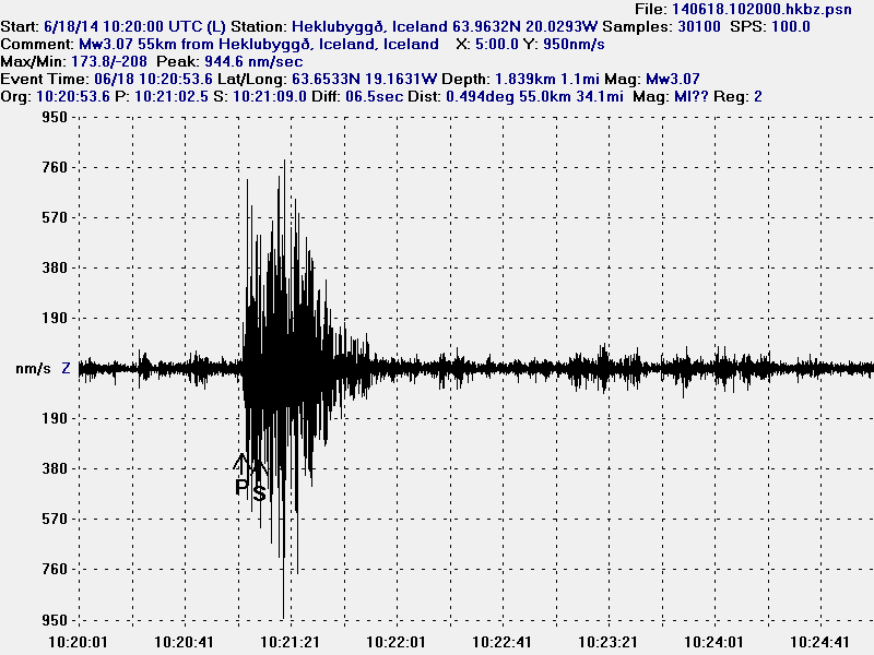
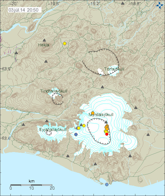
Hekla volcano
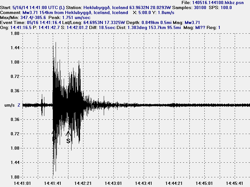
A magnitude 2,3 earthquake with the depth of 9,9 km took place in Hekla volcano system on 02-July-2014 at 23:48:57 UTC. No other activity took place following this earthquake. It is not clear why this earthquake activity is taking place in Hekla volcano.
Donations: Please remember to support my work by donations or by shopping on Amazon via the banners that I have here. I get 5% to 10% of each sale made on Amazon if it is trough my banners (what you buy does not matter). Thanks for the support.
Article updated at 22:05 UTC.