During the last few days there has been a sharp increase in earthquake activity in Tungnafellsjökull volcano. Since there has been no eruptions in the last 12.000 years it is not possible to know for sure what is going on. The earthquake activity suggests that this is a mixture of magma connected earthquakes and stress changes due to Bárðarbunga volcano changes. Making it nearly impossible to know for sure what is going on, at least for now anyway.
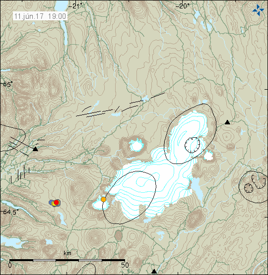
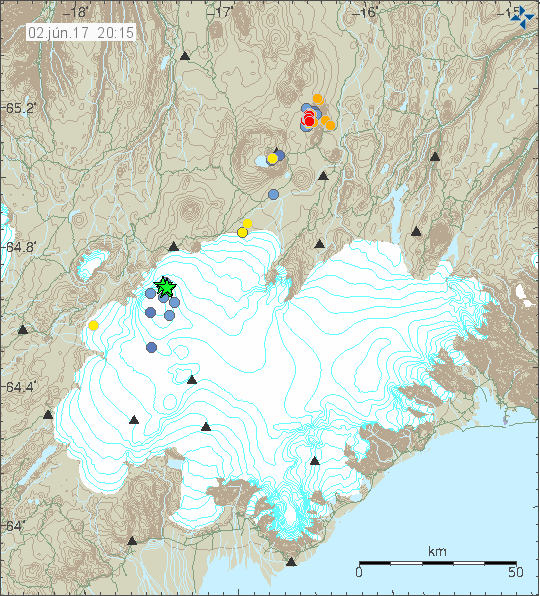
Tungnafellsjökull volcano is located north of Bárðarbunga volcano. It is marked by cluster of small earthquakes (red dots) on this image. Copyright of this image belongs to Icelandic Met Office.
What is different now, is that after a long period of quiet there was a sharp increase in earthquake activity in Tungnafellsjökull volcano. If past earthquake swarm activity is anything to go by I expect this earthquake activity to die out slowly and activity should go back to normal in Tungnafellsjökull volcano. That means no earthquake activity at all. I don’t think that anything has changed in that volcano, at least I don’t have any hard evidence of that being the case for the moment. That might change since lack of historical eruptions leaves a room for lot of speculations.
Donations
Please remember to support my work. That helps me in get trough June in my current financial problems (due to dentists costs). Thanks for the support. 🙂