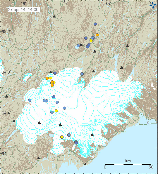
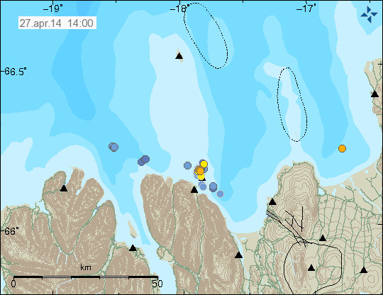
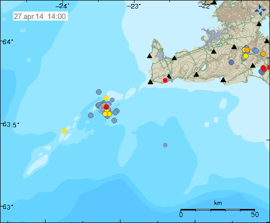
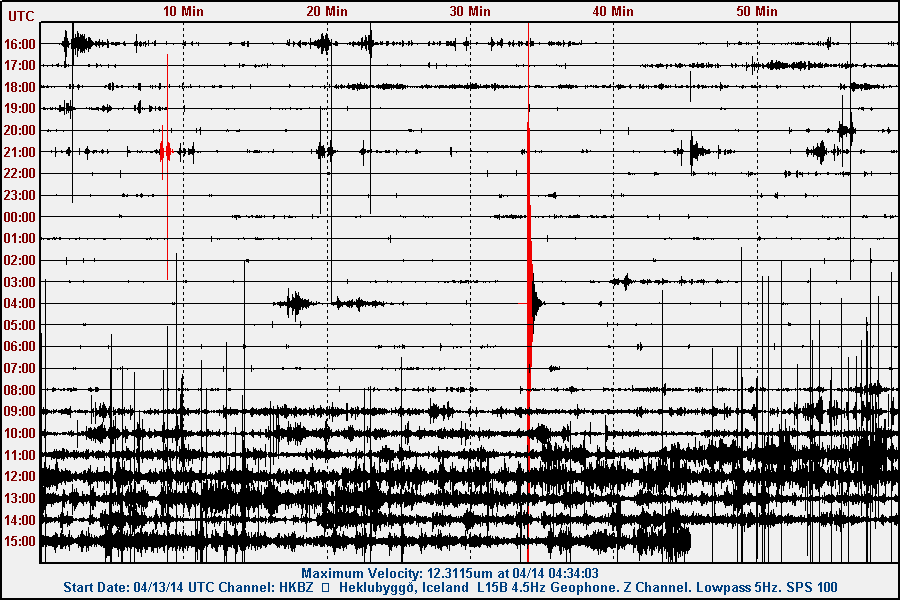
Today (13-April-2014) an earthquake swarm started on the Reykjanes Ridge. The earthquake swarm is taking place not far from Geirfuladrangi that is an ocean rock in this area. It is only occupied by birds during the summer. This rock was formed in an eruption at this location some 300 to 700 years ago. I am not sure exactly what year that did happen. This is the second earthquakes swarm taking place at this location this month with last earthquake swarm taking place in this location on 4-April-2014 as can be seen here.
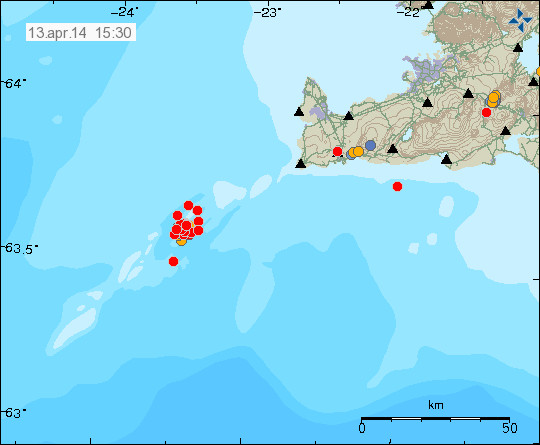
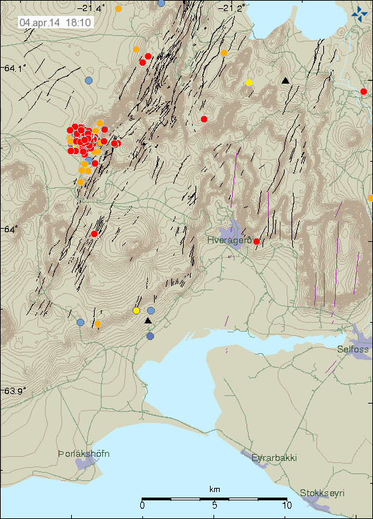
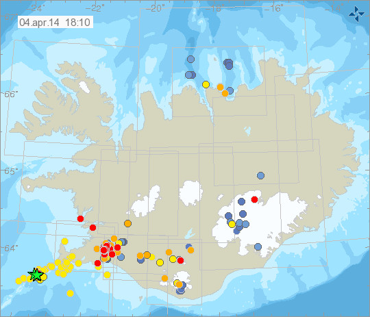
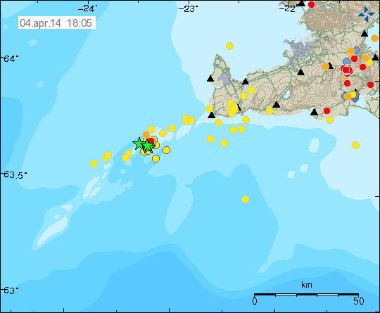
The earthquake swarm on the Reykjanes ridge. Copyright of this image belongs to Icelandic Meteorological Office.
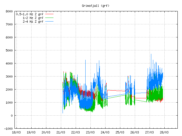
Largest earthquakes have had the magnitude around 3,0 and above. Due to distance from the SIL network there magnitude is being underestimated by the automatic calculations in the SIL network. It is possible to see the earthquake appear on my geophone network here (the two stations I still have up and running in Iceland). The earthquake swarm is currently ongoing, it however drops in activity for shorter and longer period of time. I don’t know if this is due to tectonic movements or magma movement in the volcano that is at this location. So far I have not seen any signs of eruption on nearby SIL stations.
Hard drive update: I am now up and running (mostly) since I got new hard drive earlier this week. It appears that I might have lost some data. I am not sure how much data was lost. But it might have just been an minor data loss from the looks of it. Few earthquakes pictures of activity in early April-2014. This data loss was due to bad sectors on my old hard drive and the lost data cannot be recovered.
Google Adsense: As all “good” monopoly Google Adsense has close to zero help service when it comes solving issues with Google Adsense accounts. Currently my Google Adsense account is in some type of enabled or disabled state (I don’t know and information about the problem is limited to none, even if I have asked for help on this issue). I am not sure what is going to happen with my Google Adsense account. I am not sure if I am going to try and enable it soon, since that might not work at all. I am not just sure what happens if I try again since this process at Google Adsense is about 90% automatic and done with robots rather than humans.
Amazon Advertisements: Since I don’t have Google Adsense advertisements (at the moment anyway). I am going to use Amazon Advertisements and try to earn some income from them. However there is an difference between Google and Amazon. The difference is that Amazon advertisements are not CPI advertisements or CPC/PPC advertisements.
With Amazon Advertisement I get 5 to 15% of the price of each item sold on Amazon via my banners that I have up here. Each click is valid for 90 days (it used to be like that) according to Amazon FAQ (UK. US FAQ can be found here) on the income aspect of Amazon Advertisements.