Today (04-September-2013) had some minor earthquake activity in several volcanoes in Vatnajökull glacier. All of this earthquakes were small and less than magnitude 3.0 in size.
Kverkfjöll volcano
The deepest earthquake activity was in Kverkfjöll, with earthquakes at 31 km depth and 24 km depth. This deep earthquake activity is possible connected to magma movements since tectonic earthquakes are unlikely to take place this deep in the crust.
Grímsfjall volcano
One earthquake was recorded in Grímsfjall volcano, it was minor and shallow. This might even just be a glacier quake, rather than normal earthquake.
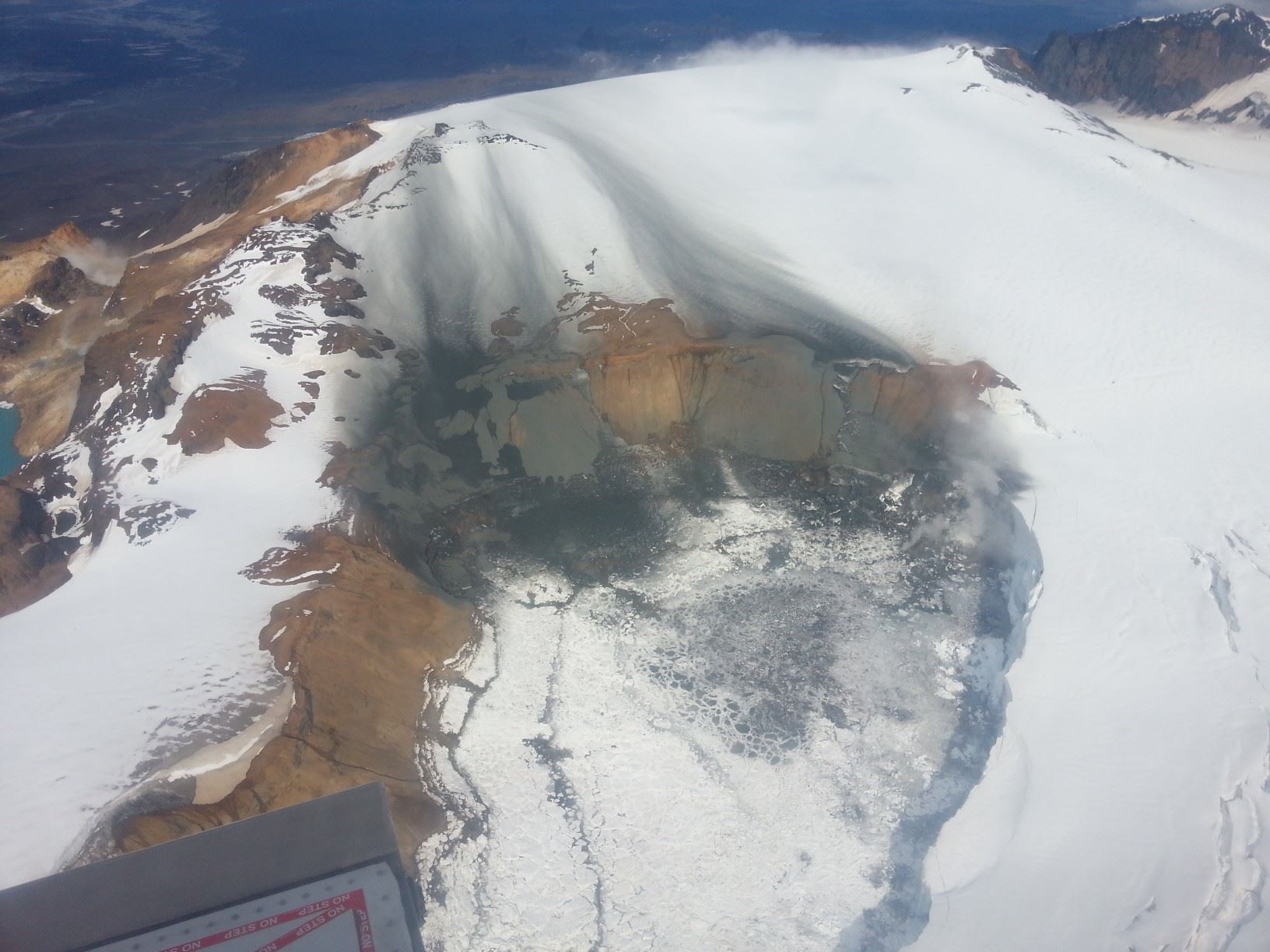
Öræfajökull volcano
Öræfajökull volcano did see two earthquake today, at the depth of 4 to 5 km. Both were small and tectonic in nature from the looks of it. Earthquakes are not common in Öræfajökull volcano so I am not sure why this increase has now taken place. It is worth noticing that sil network is now more sensitive in this area than before since new stations have been added in this area. This means that smaller earthquakes are now being detected than before.
Esjufjöll volcano
Esjufjöll volcano had two earthquake, the third earthquake might be a ice-quake. I am not sure if it was an real earthquake or not. Esjufjöll volcano normally do not have any earthquake activity, but few years ago an earthquake activity started with earthquakes that had magnitude of 2.5 to 3.0 so there is something going on in this volcano. What that might be I am not sure of yet.
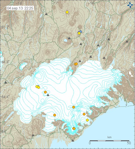
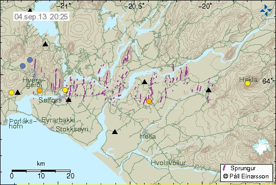
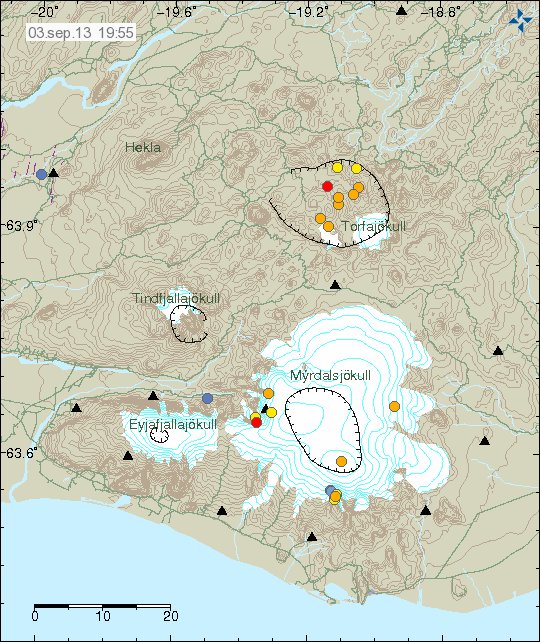
Earthquake activity in Kverkfjöll, Öræfajökull, Esjufjöll, Grímsfjall volcanoes. All small earthquakes. Copyright of this image belongs to Icelandic Meteorological Office.
I do not expect anything major to take place in Vatnajökull volcano. Since the current quiet period in Iceland just seems to be ongoing as is.