Donation notice: If you like my work. Please consider donating to help me continue my work. This site is now advertisement free as explained here. Donation button is going to be added soon. If you want to donate regularly, please use the Paypal button on the sidebar to do so. Information on how to donate to me with other ways can be found here. Thanks!
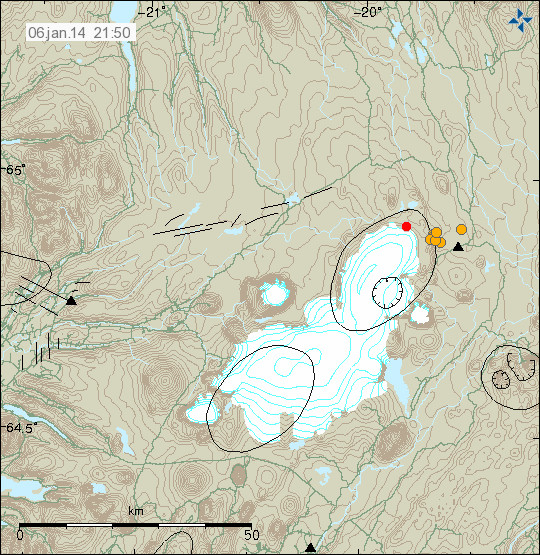
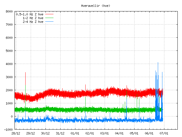
It has been reported in Icelandic media today that there is an increased conductivity in Múlakvísl glacier river that comes from Mýdalsjökull glacier. This increased conductivity started in Múlakvísl on 31-December-2013 and has lasted until today (it might last for few days longer).
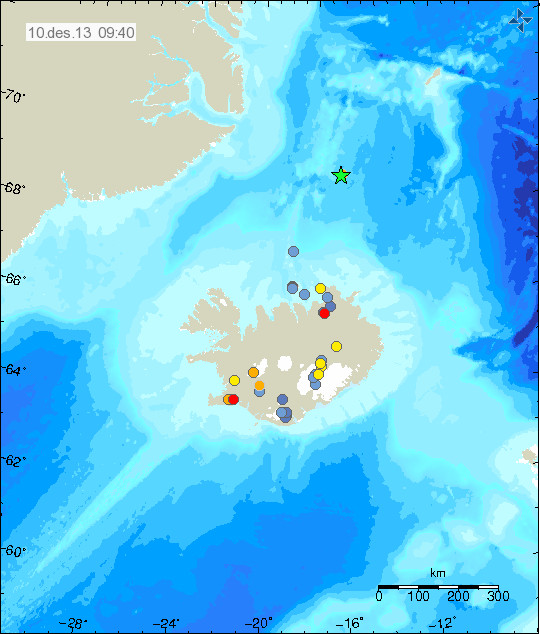
Mýrdalsjökull glacier is on top of Katla volcano. There are no signs of increased activity following this and according to the news this is most likely a cauldron under the glacier empting it self of water melted by hydrothermal area under the glacier. So far there is no risk to this increased conductivity in Múlakvísl glacier river.
There are no signs of glacier flood is about to take place, at least it is not going to a large one if it happens. That is the current idea at the moment anyway. No earthquake activity or tremor activity has taken place following this changes in Múlakvísl glacier river.
Icelandic News about this
Aukin rafleiðni en ekki útlit fyrir hlaup (Rúv.is)
Fylgjast vel með Múlakvísl (mbl.is)
Vaxandi rafleiðni í Múlakvísl (Vísir.is)