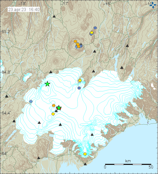
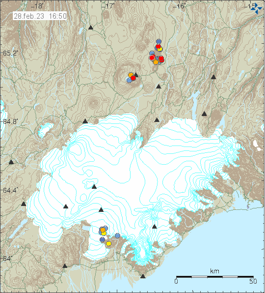
This morning (25. April 2023) an earthquake swarm started north of Grindavík town, next to the Blue Lagoon. This earthquake swarm is ongoing at the writing of this article. If this is going to result in a eruption is impossible to know. The magma has reached the depth of 2 km and that is not good news if this continues to intensify. Large earthquakes do not need to happen before an eruption starts under the correct conditions in the curst and there has been a lot of dyke activity in Reykjanes volcano in last 3 years. Without that activity resulting in a eruption.
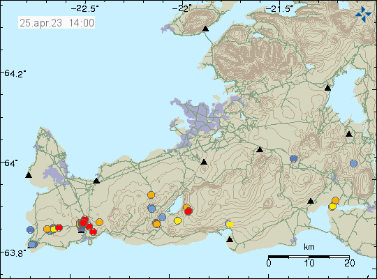
Eruption at this location would be bad, because of the tourist infrastructure next to this location that is the Blue Lagoon. Only thing that can be done now is to monitor the situation and see if it changes from what is currently happening.
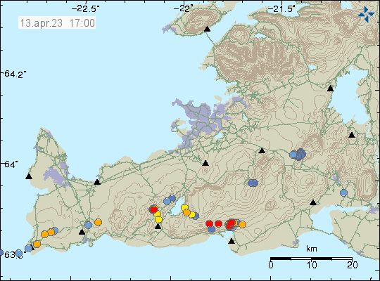
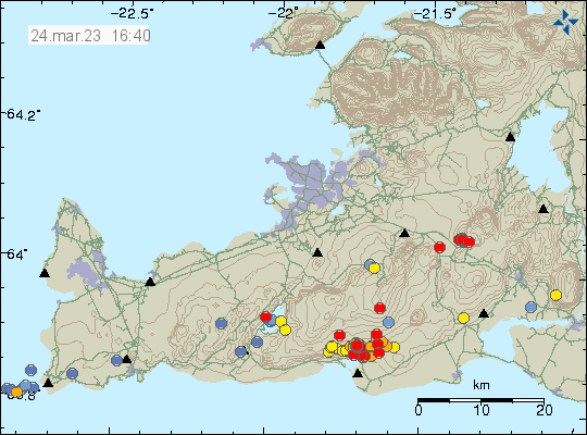
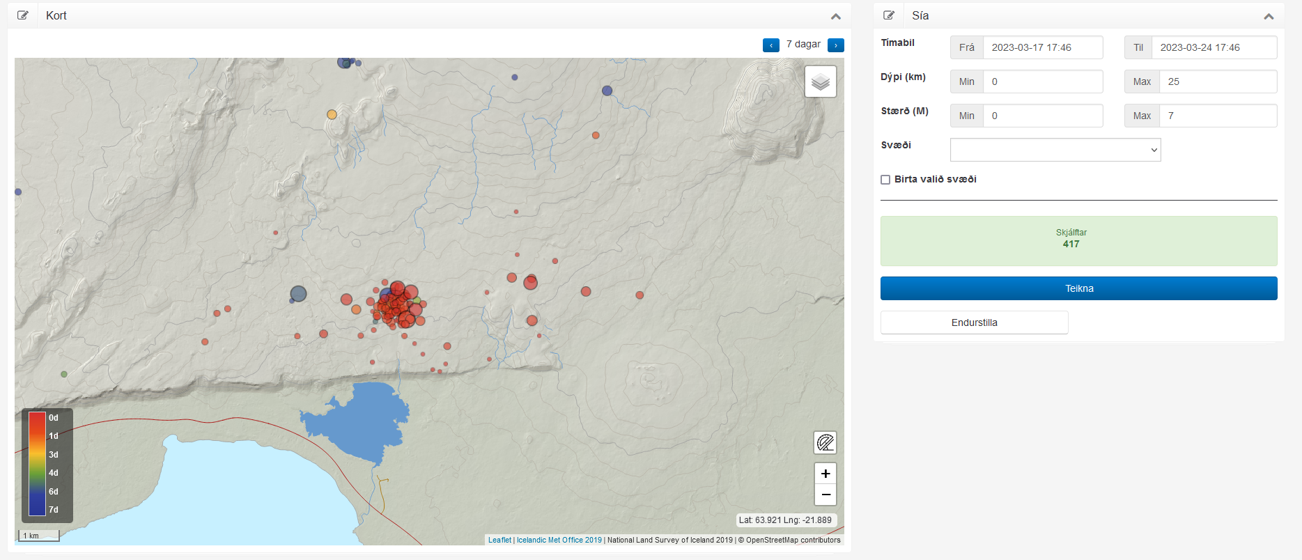
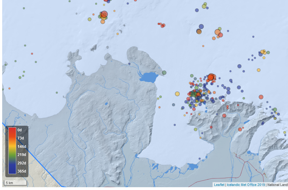
It is possible to view the earthquake swarm in high resolution on Skjálfta-Lísa and other private websites that have similar maps.