I am sorry about being late with this. I got a cold again with its usual problems.
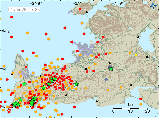
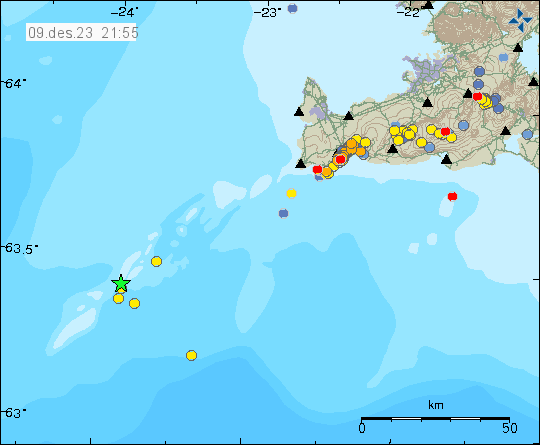
On Sunday 8th February 2026 an earthquake started in Reykjanes volcano, in the area of Eldey island. Around 1000 earthquakes where recorded. Largest earthquakes had a magnitude around Mw3,4. Other earthquakes where smaller in magnitude.

This earthquake swarm is possibly connected to the inflation that is happening in Svartsengi volcano, as that inflation changes stress in faults along the Reykjanes peninsula and Reykjanes ridge. How well that stress results in earthquakes in unknown. It is unclear if magma was also active in this earthquake swarm. It should not be ruled out. No eruption did happen in this earthquake swarm. More earthquake swarms in this area of Reykjanes ridge and Reykjanes peninsula should not be ruled out.