Earthquake swarm in Tungnafellsjökull volcano

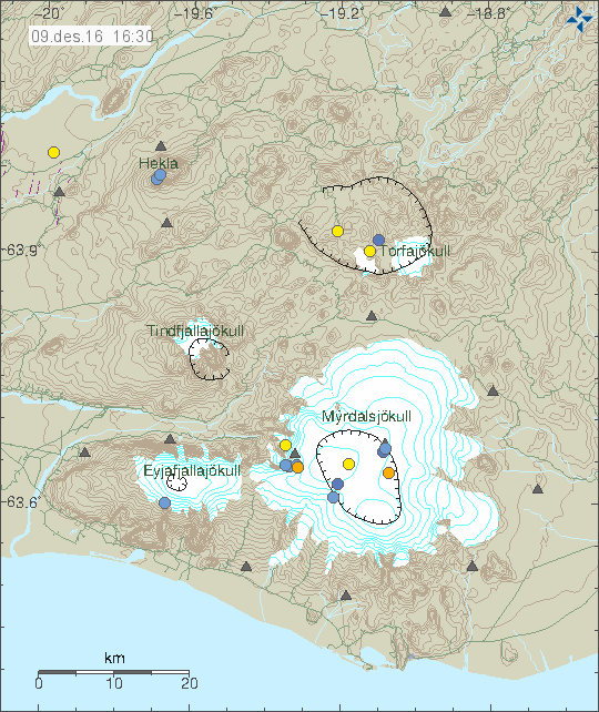
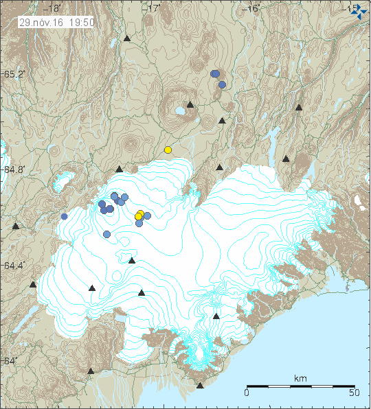
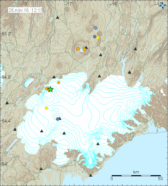
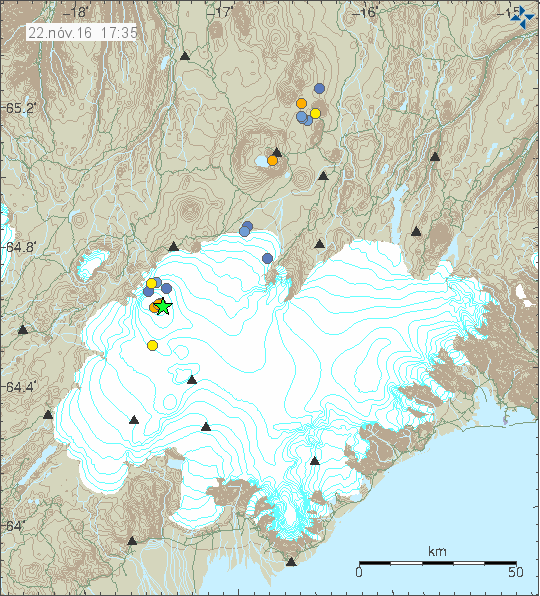
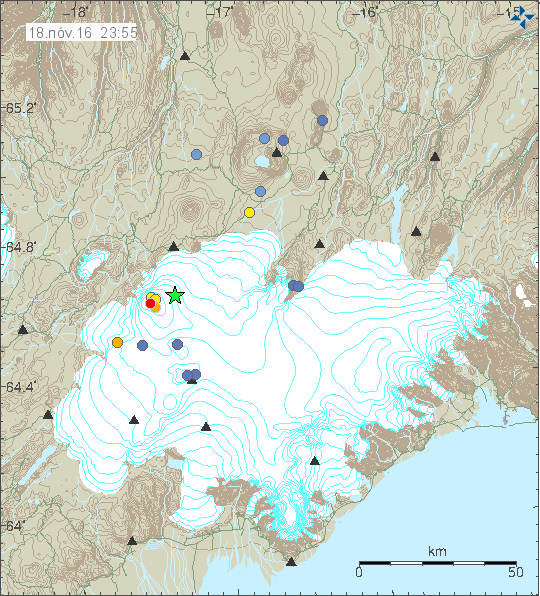
For the past 48 hours (7th and 8th September-2016) an earthquake swarm took place in Tungnafellsjökull volcano. As earlier earthquake swarms this swarm has a small one, with only few dozen of earthquakes and the largest one only having the magnitude of 2,9. Most depth in this earthquake swarm was around 12 km.

160908_2100
The earthquake activity in Tungnafellsjökull volcano. Copyright of this image belongs to Icelandic Met Office.

For the moment nothing suggests that an eruption is about to start in Tungnafellsjökull volcano. This volcano doesn’t have any recorded history of eruptions and that makes it impossible to know when next eruption cycle starts in it. Current earthquake activity started in the year 2012 and has continued since then, with long period of quiet between times of activity.

Deep earthquake activity in Bárðarbunga volcano

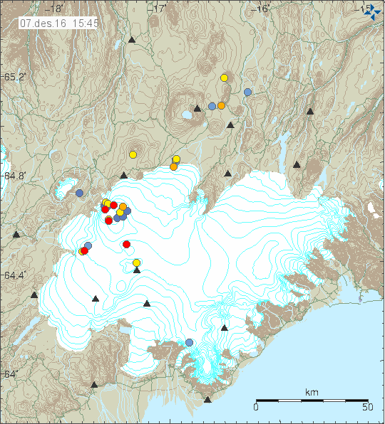
Yesterday (06-September-2016) and today (07-September-2016) deep earthquake activity happened in Bárðarbunga volcano system. Most depth was at 25,9km in Trölladyngja, it is one of several deep earthquakes that have happened in that area. Few earthquakes at depth of 20,8 km took place in Bárðarbunga volcano (outside of the caldera).

160907_2120
The deep earthquakes on this image are at south-east to Bárðarbunga (in the direction of Grímsvötn, north-east of Grímsvötn) and in Trölladyngja (one blue dot). Copyright of this image belongs to Icelandic Met Office.

In Iceland earthquakes at this depth only happens due to movement of magma. Crust stresses do have effects at this depth far as I know. At the moment no magnitude 3,0 earthquakes have happened in Bárðarbunga, that might be unusual since normally after a swarm of deep earthquake few strong earthquakes happens in Bárðarbunga. That has at time of writing of this article not happened. If that happens remains to be seen. I got the feeling there might be something more in the works, but I’m going to wait and see what is going on now. At least wait for a word from Iceland Met Office about what is going on, if anything is going on at all.

All that can be done now is to wait for what happens next. (This is what geology is mostly about, endless waiting for something to happen.)

New earthquake activity in Katla volcano

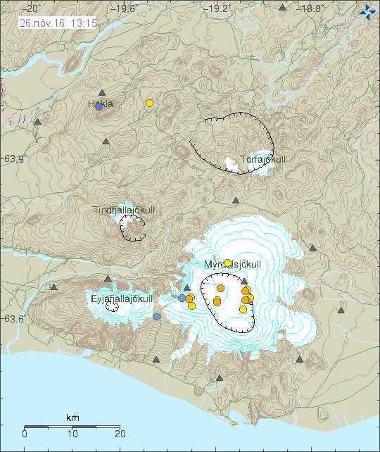
Early this morning (7-September-2016) an earthquake with the magnitude of 3,5 took place in Katla volcano. There was little earthquake activity before the main earthquake and after it, since this morning activity has remained low.

160907_2045
Earthquake activity in Katla volcano. Copyright of this image belongs to Icelandic Met Office.

This earthquake activity is in the same area of the magnitude 4,9 earthquake two weeks ago. No harmonic tremor has been detected following this earthquake. I don’t know if anything more is going to happen. All that can be done is to wait and see what happens next.

Earthquake activity in Bárðarbunga volcano 2-September-2016

On 02-September-2016 two earthquakes with the magnitude 3,3 and 3,5 took place in Bárðarbunga volcano. The magnitude was 3,3 for the earlier earthquake and 3,5 for the second earthquake.

160903_1705
The earthquake activity in Bárðarbunga volcano. Copyright of this image belongs to Icelandic Met Office.

This type of earthquake activity is so common now in Bárðarbunga volcano that I rarely bother now to write about it. This type of earthquakes now happen once to twice in Bárðarbunga volcano each week. The reason for this earthquake activity are stress changes in the caldera. This is I suspect going to take a long time, I’m looking at years of this type of earthquake activity in Bárðarbunga. What also makes this more complicated is the rifting currently taking place inside the volcano and on nearby fissures. The results of this mixture might get interesting in the future.

Earthquake swarm in Bárðarbunga volcano

Today (30-August-2016) an earthquake swarm started in Bárðarbunga volcano. The earthquake swarm took place in the caldera of Bárðarbunga volcano, as has been the case for the past few months. Nothing suggests that magma is on the move or that eruption is imminent, this seems to be tectonic or tectonic related activity in Bárðarbunga volcano after the eruption in 2014, that ended in February 2015.

160830_1815
The earthquakes in Bárðarbunga volcano. Green stars are earthquakes larger then magnitude 3,0. Copyright of this image belongs to Iceland Met Office.

Largest earthquakes so far have the magnitude of 3,8 (at 13:33 UTC) and 3,4 (at 16:58 UTC), other earthquakes have been smaller in magnitude. The reason for this earthquakes is inflow of magma at depth (more than 10 km) into Bárðarbunga volcano. This is creating stress changes higher up in the crust, resulting in earthquake swarms. More earthquakes can be expected from Bárðarbunga volcano in next few hours to days. This type of earthquake activity almost happens weekly at the moment and that has been the activity pattern since September-2015. I’m not expecting any change in this activity pattern for next few months.

Earthquake activity on Reykjanes peninsula

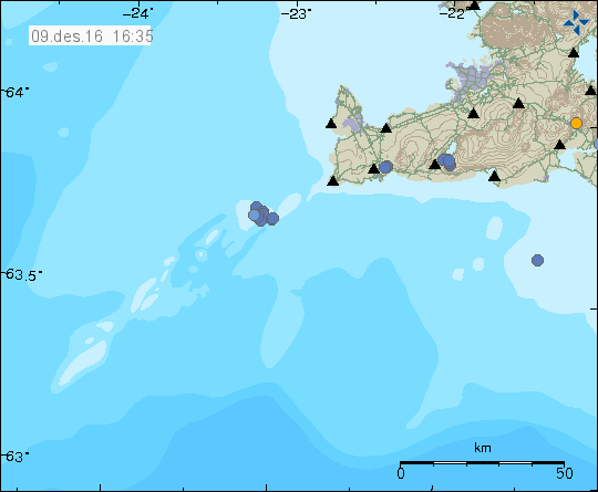
Yesterday (29-August-2016) an magnitude 3,4 earthquake took place on Reykjanes Peninsula, this earthquake was felt due to how close it was to populated area.

160830_0015
Green star shows the location of the earthquake. Copyright of this image belongs to Icelandic Met Office.

No other earthquakes have followed this earthquake. Some minor earthquake happened before the main earthquake, no other activity has happened after the main earthquake.

Katla volcano earthquake activity update

This is not going to be a too long update about the activity in Katla volcano. Since I fear that this article might become outdated rather quickly.

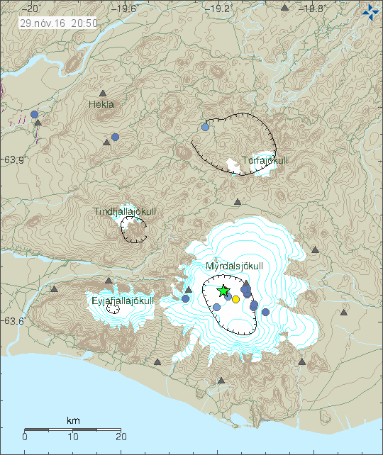
Currently there is no eruption in Katla volcano. At the moment only earthquake activity has happened. Latest information shows that hydrothermal water has entered Múlakvísl glacier river from Mýrdalsjökull glacier and that is making the air nearby possibly toxic and dangerous. The two largest earthquakes had the magnitude of 4,5. One earthquake had the depth of 3,8 km while the one that happened 20 seconds later had the depth of 0,1 km. Other earthquakes had magnitude around 3,0 and above and below.

160829_2145
Green star show where earthquakes with magnitude above 3,0 took place in Katla volcano. Copyright of this image belongs to Iceland Met Office.

It is not know how and eruption starts in Katla volcano, since no historical recordings exist when last eruption took place in the year 1918. Making ideas on how an eruption in Katla volcano start mostly guesswork. Current earthquake activity is the strongest since 1977, in 1955 there was some strong earthquake activity but magnitude of those earthquakes is not known. It is my idea that Katla volcano erupts when a rift zone activity takes place in this area, since it is on the eastern volcano zone (EVZ) in Iceland, it is currently expanding south of Vestmanneyjar and American plate and Euroasian plate is around 1cm/year.

160829.014609.hkbz.psn
The main 4,5 earthquake in Katla volcano. This image clearly shows a long period earthquake. This is my station in Heklubyggð. This image is under CC Licence, please see CC Licence page for more details.

160829.014700.bhrz.psn
The main 4,5 earthquake as it appeared on my geophone in Böðvarshólar. The earthquake signal is clear. This image is under CC Licence, please see CC Licence page for more details.

It is difficult to know what happens now. The signs are not good, but Katla is an active volcano with regular eruption cycles so this is only matter of time now. As mentioned above, the reason is lack of data on how the eruption process starts in Katla volcano. All that can be done now is to wait and see what happens next.

Earthquake activity in Katla volcano

This article is going to be updated in the next 24 hours if needed. Details are few at this moment.

A magnitude 3,6 earthquake (automatic magnitude estimate) has happened in Katla volcano. Few other earthquakes happened before the largest earthquake and few minor earthquakes took place after it. At the moment activity has dropped down (as it appears on my geophone) to nothing. That might change without warning.

160829_0145
Earthquake activity in Katla volcano. This image does not have the magnitude 3,6 (automatic magnitude estimate) in it. Copyright of this image belongs to Iceland Met Office.

At the moment no harmonic tremor has appeared on the SIL stations around Katla volcano. This means that eruption has not started. Until an harmonic tremor appears, this is just an earthquake activity.

This article is going to be updated if needed in few hours (around 16:00 GMT/UTC due to my current day plan).

Minor earthquake swarm on Tjörnes Fracture Zone (TFZ)

Today (26-August-2016) a minor earthquake swarm started on TFZ. This is currently not a large earthquake swarm and only around 50 earthquakes have happened so far. More earthquakes might happen if this earthquake swarm continues.

160826_1540
The minor earthquake swarm is shown by the cluster of red dots. Copyright of this image belongs to Iceland Met Office.

This area has seen several earthquake swarm since July and is a high chance earthquake activity is going to continue in this area for the next few days to weeks. Earthquakes with magnitude above 3,0 cannot be ruled out.

Earthquake activity in Katla volcano

Today (19-August-2016) a magnitude 3,5 earthquake took place in Katla volcano. It was followed by several earthquakes, both before the strongest earthquakes and after it.

160819_1710
The earthquake activity in Katla volcano. The green star shows the location of the magnitude 3,5 earthquake. Copyright of this image belongs to Iceland Met Office.

This doesn’t seems to be an activity connected directly to magma movements. This might however be a gas under pressure breaking rock, since clues this summer suggests that heat is now increasing in the caldera. At least for now, it might cool down again in coming months. The most common months for Katla volcano to erupt are from July until November, eruptions in other months are less common, they do happen every few hundred years.

160819.155916.hkbz.psn
The magnitude 3,5 earthquake as it appeared on my geophone in Heklubyggð. This image is under Creative Commons licence. Please see the CC Licence page (above) for more details.