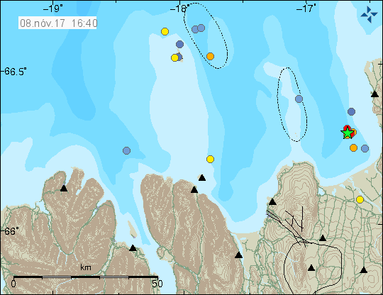
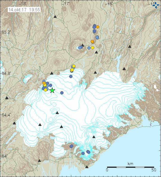
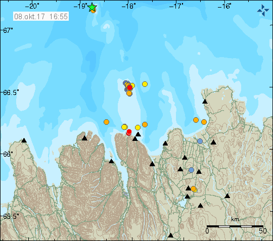
Yesterday (26-October-2017) and today (27-10-2017) two strongest earthquake took place in Báðarbunga volcano since end of the eruption in February 2015. The magnitudes of earthquakes so far are two Mw4.7, One magnitude Mw3,9 and one Mw3,2 earthquake. So far other earthquakes have been smaller in magnitude. No harmonic tremor has been detected so far, but given the location an eruption might start in other part of the caldera without warning even if the earthquake swarm activity is happening in the northern part of the Bárðarbunga volcano caldera.
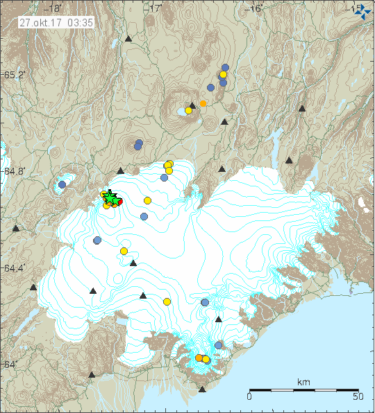
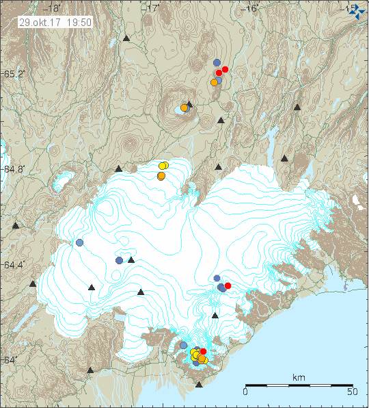
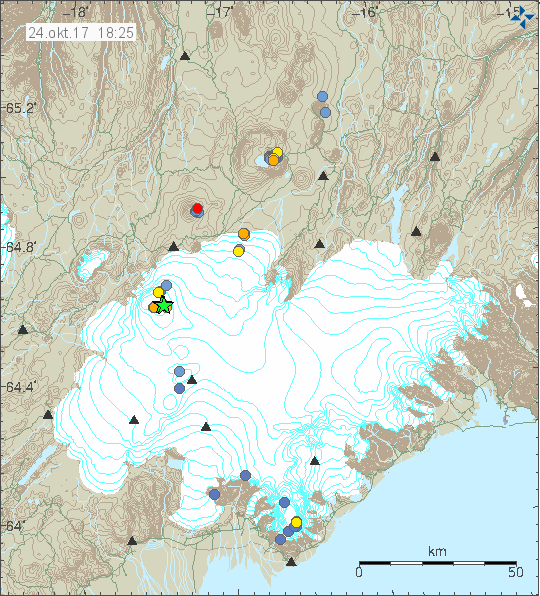
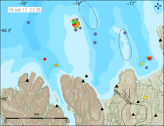
The earthquake activity in Bárðarbunga volcano. Copyright of this image belongs to Icelandic Met Office.

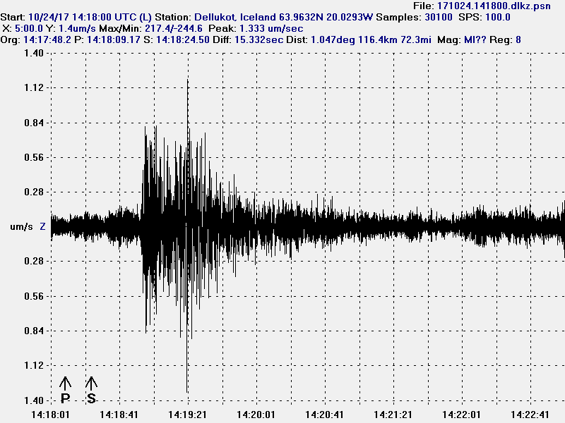
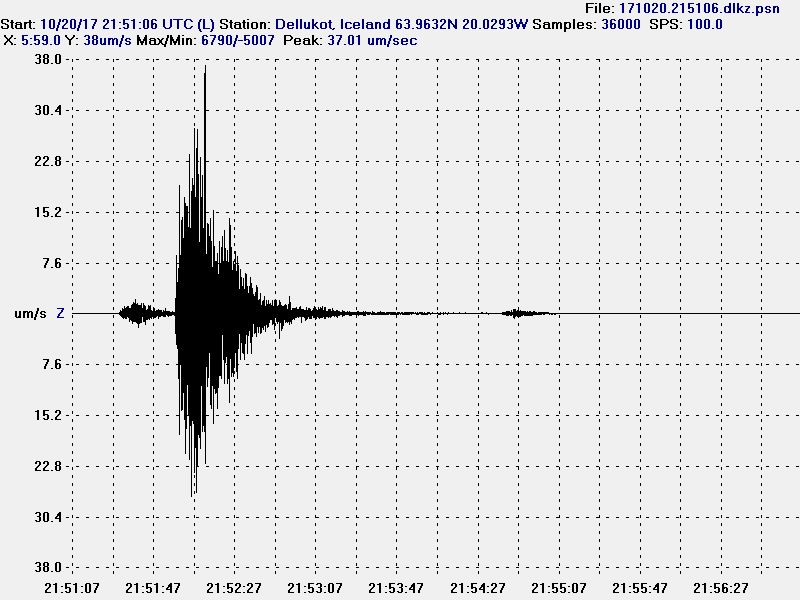
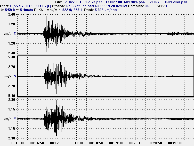
The magnitude 3,9 earthquake as it appeared on my geophone in Dellukot. This image is under Creative Commons Licence, please see CC licence for more details.
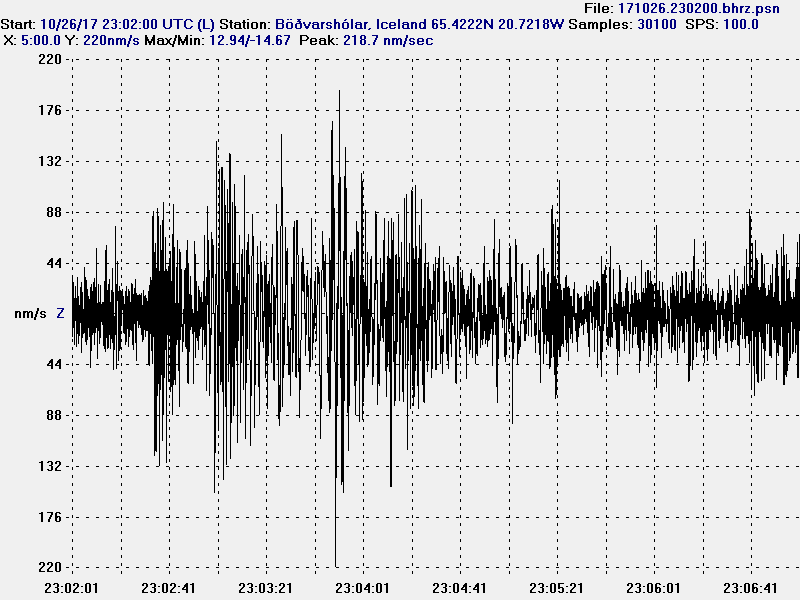
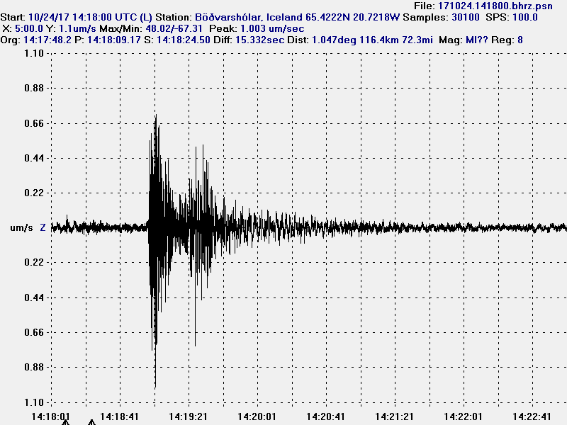
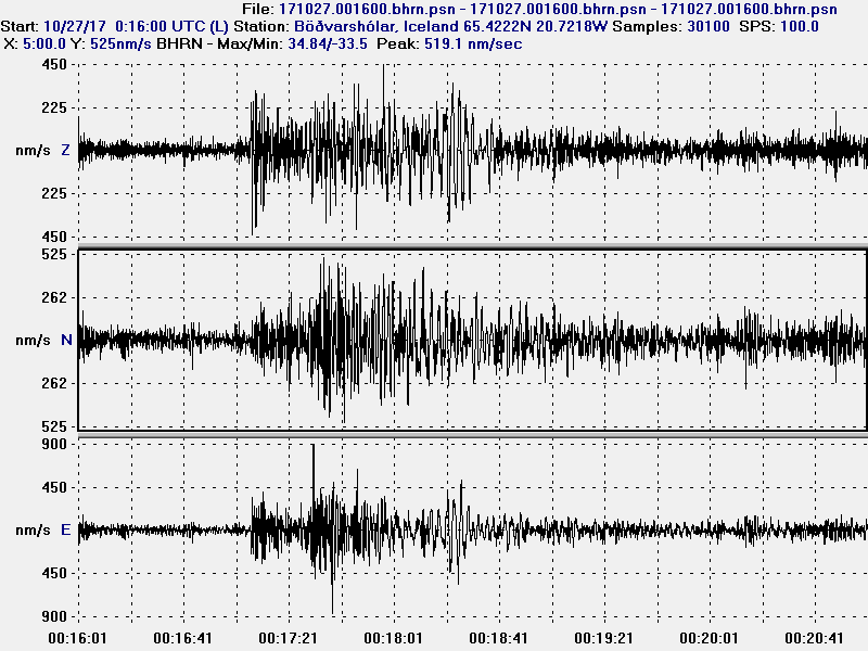
The magnitude 3,9 earthquake as it appeared on my geophone in Böðvarshólar. This image is under Creative Commons Licence, please see CC licence for more details.
The second magnitude 4,7 earthquake as it appeared on my geophone in Dellukot. For some unknown reason (maybe bad weather) I was unable to properly record the magnitude 4,7 earthquake at 23:26 UTC. This image is under Creative Commons Licence, please see CC licence for more details.
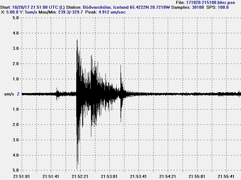
The second magnitude 4,7 earthquake as it appeared on my geophone in Böðvarshólar. For some unknown reason (maybe bad weather) I was unable to properly record the magnitude 4,7 earthquake at 23:26 UTC. This image is under Creative Commons Licence, please see CC licence for more details.
At the moment no eruption has been detected. But this strong and increasing earthquake activity suggest that magma pressure inside Bárðarbunga volcano might be reaching critical point. If it has not reached critical point already. For the next 24 – 36 hours really bad weather is forecasted in Iceland. With wind gusts forecasted up to 45m/s in the highland and in northern Iceland. This bad weather is going to cause problems in detecting earthquakes in Bárðarbunga volcano and elsewhere.
Donations
Please remember to support my work with donations. Thanks for the support. 🙂