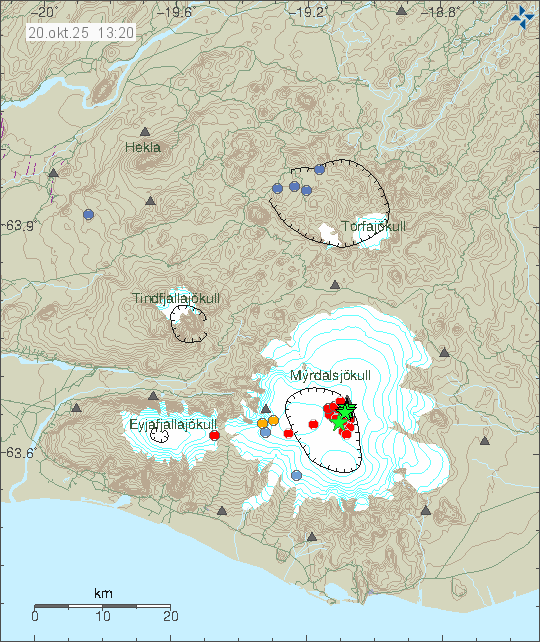
A earthquake with the magnitude of Mw3,3 took place in Torfajökull voclano at 02:42 UTC on 20-December 2025. A second earthquake with magnitude of Mw2,5 took place at 03:12 UTC. After this, there has not been any more earthquake activity in Torfajökull volcano.
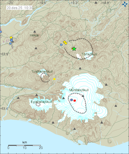
More earthquake activity in this location or nearby location can’t be ruled out. Bad weather might block recording of those earthquakes, since the weather forecast for next few days is not good.