Warning level around Eyjafjallajökull volcano lowered down to uncertainty level

In a press release by Almannavarnir (Iceland Civil Protection) it is announced the lowering of the warning level around Eyjafjallajökull from danger area down to uncertainty level. There are also some travel restriction lifted that have been in place around Eyjafjallajökull volcano. The current warning level is the lowest warning level that Almannavarnir has.

The Press release by Almannavarnir in Icelandic. Use Google Translate at own risk.

Lækkun á almannavarnastigi frá neyðarstigi niður á óvissustig vegna eldgossins í Eyjafjallajökli (almannavarnir.is)

Icelandic News about this.

Almannavarnastig lækkað í óvissustig (mbl.is)
Almannavarnir lækka viðbúnaðarstig (Rúv.is)
Almannavarnastig vegna Eyjafjallajökuls lækkað (Vísir.is)

British Geological Survey costs the set-up of six seismometers around Eyjafjallajökull and Katla

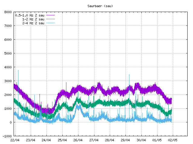
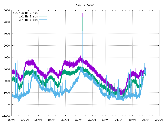
According to Rúv it appears that British Geological Survey did pay for the set-up of six seismometers around Eyjafjallajökull and Katla volcanoes. This seismometers are able to detect lower frequencies better then current seismometers around Eyjafjallajökull and Katla. This type of sensors are normally called broadband seismometers and have frequency range down to 0.001Hz and up to 60Hz. I do not know how far the sensors that BSG did cost. But I am going to assume that they go down a bit farther then IMO sensors in the area. According to Rúv the sensors are already up and where on-line earlier this year.

They are located at following location.
Mælifellssandi not far from Slysaöldu, Rjúpnafell east of Mýrdalsjökul, two are located both sides of Eyjafjallajökull on Ásólfsskálaheiði at south and Smjörgili at north not far from Gígjökli glacier. Fifth sensor is going to be set-up in Pétursey in Mýrdal. The location of the six sensors has not been decided yet.

The cost of this project is about 100.000 pound according to Rúv.

The reason for this is that authorities in UK (and Europe) want to get more warning if there is a big eruption in Katla volcano. Mostly to prevent the air chaos that took place when Eyjafjallajökull erupted earlier this year.

Five sensors where in the area before. The sensor net is going to be really sensitive when the new sensors go on-line at IMO headquarters in Reykjavík. But more sensors give more accurate location of earthquakes, both in depth and location.

The news from Rúv in Icelandic. Use Google Translate at own risk.

Bretar setja upp jarðskjálftamæla (Rúv.is)

Eyjafjallajökull eruption officially over

According to Iceland Review Online the eruption in Eyjafjallajökull is officially over. But it remains to be seen if the eruption restarts like did happen in 1821 to 1823 eruption in Eyjafjallajökull.

Iceland Review Online news.

Eruption in Iceland’s Eyjafjallajökull Officially Over

Thanks to Chris for pointing this out to me.

Update!

It was brought to my attention that Almannavarnir in Iceland have not declared the eruption over in Eyjafjallajökull. So the news in Iceland Review appears to be wrong in that respect.

Blog post updated at 10:08 on the 29th of October 2010.

More videos of Eyjafjallajökull eruption

While the quiet times are happening in Iceland with nothing special going on. It is good to view the videos of the Eyjafjallajökull eruption earlier this year.


The glacier flood at the start of the second phase of the eruption in Eyjafjallajökull.


Video of the early start of eruption in Eyjafjallajökull 2010.


The flooded area following the eruption in Eyjafjallajökull.

Sudden rise in harmonic tremors around Katla and Eyjafjallajökull

There is a sudden and sharp rise in harmonic tremors around Katla and Eyjafjallajökull volcano. I currently do not know what volcano is responsible for the spike in harmonic tremor. But this does not look like is a noise from the weather. But that can happen often this time of the year, as the wind forecast is good for all of Iceland at current time.

I will post more information if and when I get them.

SIL stations where the harmonic tremor rise can be seen.

Mið-Mörk
Eystri-Skógar
Lágur Hvolar (Currently most rise here for some reason)
Snæbýli
Saurbær
Ásmúli

Icelandic Met Office tremor web page.

New ash trail on top of Eyjafjallajökull

The news tonight at Stöð 2 (Channel 2) in Iceland reports that there is a new ash trail visible from the top crater in Eyjafjallajökull. It can be seen because of the new snow layer on top of Eyjafjallajökull that did fall few days ago.

Geologists find this interesting. But they are unclear on why this happens. But they doubt this is due to explosions happening in the crater. The ash is either carried by steam or by wind over the crater rim and falls into the new snow on top of Eyjafjallajökull.

The news can be viewed here (in Icelandic, Windows Media Player required to view this video).

Deep earthquakes starting again under Eyjafjallajökull

Over the past weeks there have been deep earthquakes happening under Eyjafjallajökull. The deepest earthquake so far that has happened was on 21 km depth. The latest earthquake that happened was on close to 15 km depth. Currently it is impossible to know if there is new magma pushing up.

If it is, then the amount of magma that is rising up trough Eyjafjallajökull is not great and is unlikely to start a new eruption any time soon. It is however worth noticing that this might change with a short notice. But the eruption in March to May 2010 did show that magma can rise fast up trough Eyjafjallajökull and appears to be followed by earthquake activity.