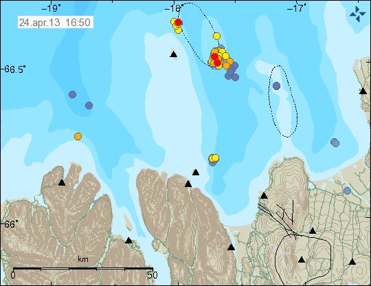
This is a short update on Askja volcano landslide.
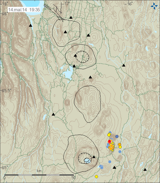
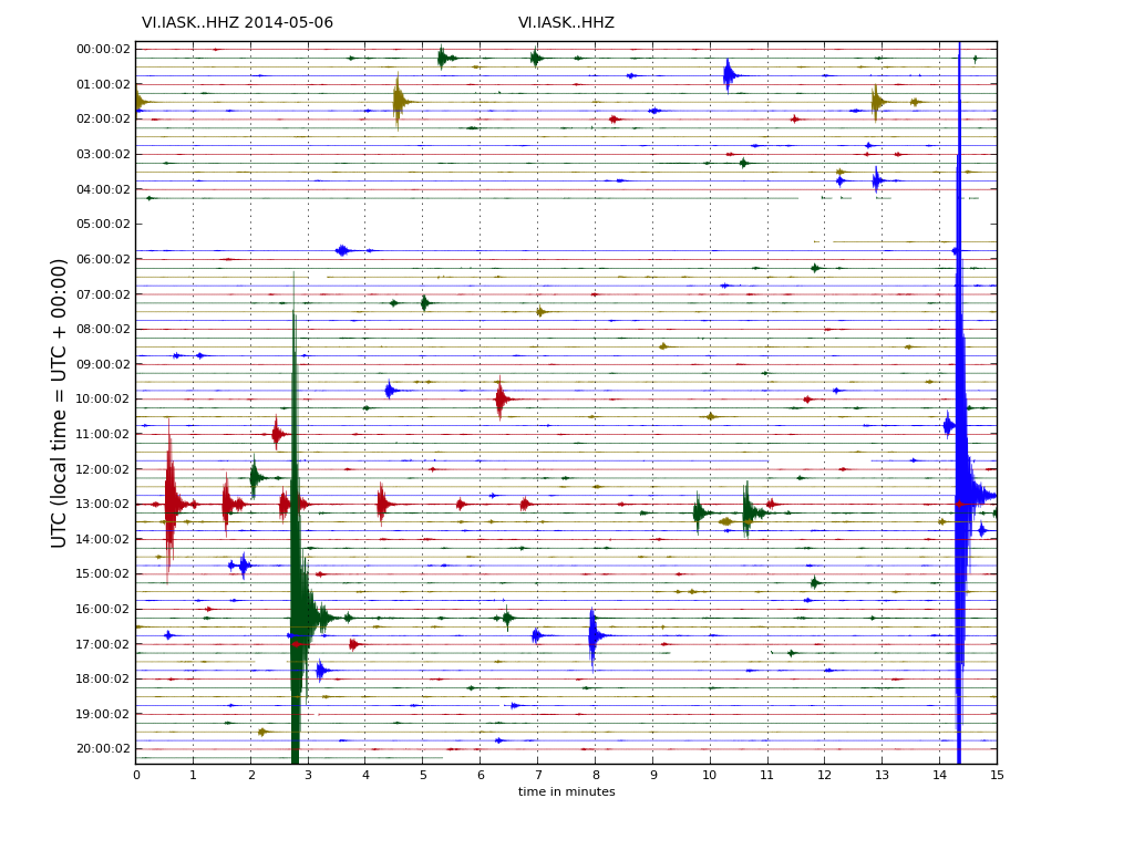
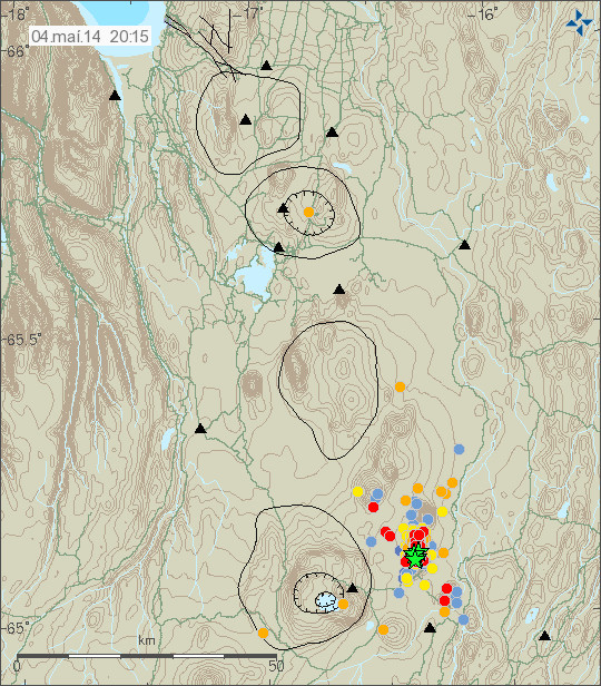
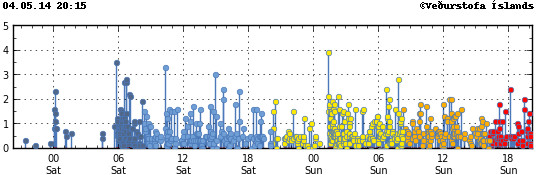
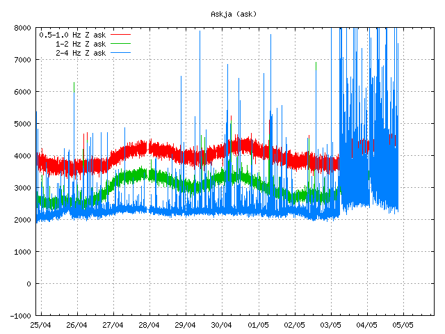
Travel ban is still in effect to Askja volcano. Parts of it are going to be lifted later today or tomorrow, but access to Askja lake is going to remain forbidden at least until Friday, after estimates on risk of new landslides have been performed by Icelandic Meteorological Office and Civil Protection in Iceland (Almannavarnir). Risk of new landslides taking place in this area remains and might remain for many months to come. It is now estimated that 50 to 60 million cubic meters of material did collapse down into Askja lake, but with only part of the material ending up into the lake it self. New estimates on the flood waves that where created now put them around 50 meters high, there was also not one wave that took place, but it is now estimated that four waves took place once the landslide hit the water.
Hiking paths to Askja volcano and Víti have been closed due landslide risk in the area around Askja lake. Please respect this closure since this area is now highly unstable and more landslides might fall without warning.
Update 1: The landslide (or rock slide as IMO calls this) is now estimated to be around 1 km wide. The tsunami waves that followed this landslide in Askja lake are now estimated to have been around 73 meters high (around Hallgrímskirkja church high). The area remains closed and is now regarded as highly unstable. Risk of new landslides in this area remains high at current time. The amount of soil that did just go into Askja lake is estimated to have been around 24 million cubic meters, with the total amount much higher (this is unconfirmed number).
I will post more information as more is known what happened.
Icelandic news of this
„Bráðabani“ að fara niður að vatninu (mbl.is)
Vígalegur mökkur steig til himins (mbl.is, pictures)
Lukka að þetta gerist um miðnætti (Rúv.is)
Svona lítur Askja út í dag – Myndband (Rúv.is, video of Askja today)
Askja – fyrir og eftir berghlaupið (Rúv.is, this are before and after images of Askja)
Berghlaupið í Öskju eitt það stærsta (Rúv.is, new video of Askja area)
Donations: Please remember to donate to support my work (and keep me away from starving). I will move back to Iceland in December (see here). Thanks for the support.
Article updated at 13:55 UTC.
Article updated at 16:01 UTC.
Article updated at 22:16 UTC.
Article updated at 22:18 UTC.