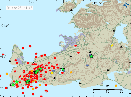
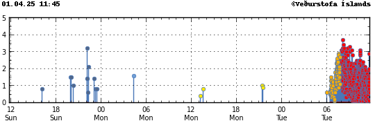
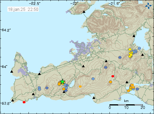
Around 17:00 UTC today (01-April 2025) an earthquake with magnitude of Mw5,3 took place in Reykjanes volcano. This might not be earthquakes because of tension changes in the crust in this area. It is a possibility, but at the moment what is going on is unclear.
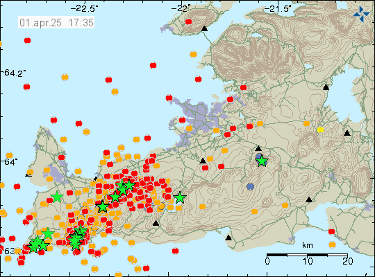
If the earthquake activity in the Reykjanes volcano are not tension earthquakes an eruption might stat out in the ocean. That would be explosive eruption. It is too early to know if that is the case. But next few hours should show if that is the case or not. Earthquake activity is ongoing and the this situation can change quickly and without warning.