This is a short update and information here might go outdated quickly. This article is written on 19. December 2023 at 21:46 UTC.
I am trying to collect and read all the information I can find. I don’t have access to everything my self, so I am depended on news and reports from Icelandic Met Office and others on what is happening in this eruptions. This is not unusual and has always been like this.
- The eruption is now in 2 to 4 vents. I am little unclear at the writing of this article now many are erupting.
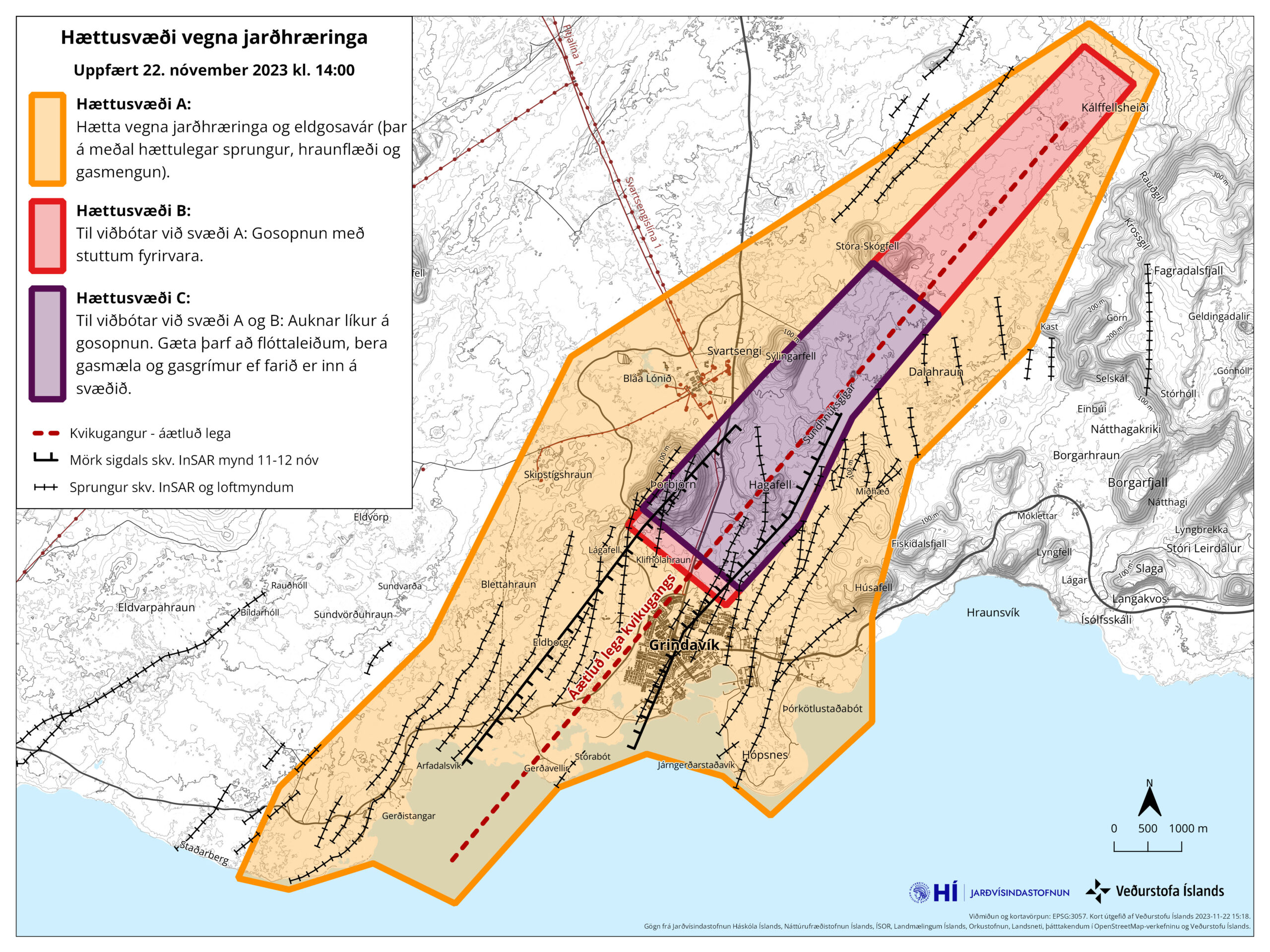
- The new dyke seems to go into the dyke from 10. November. This can result in reactivation of the dyke from 10. November and result in an eruption along it, all 15 km at random location.
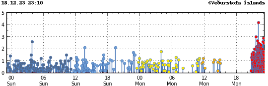
- Current flow seems be around 50m3/sec at the writing of this article. I’ve been hearing that highest flow yesterday (18. December) was around 800m3/sec, but that number is for me unconfirmed. It dropped to 100 – 500m3/sec soon after the eruption started.
- Early GPS data from today seems to suggest that Svartsengi volcano has lowered about 50mm since the start of the eruption. I am waiting for new GPS data on Icelandic Met Office website. That data hopefully shows up tomorrow (20. December).
There’s a lot of uncertain things that can happen with this eruption at the moment. Since there’s a lot of lava in Svartsengi volcano that has not erupted so far. New inflow of lava from the deep mantle is also a possibility and those can happen without warning as the pressure drops in Svartsengi volcano sill (or magma chamber).
I’ll post next update tomorrow (20. December 2023) or sooner if anything happens.