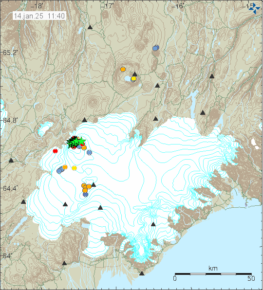
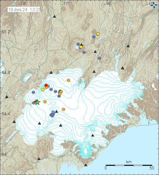
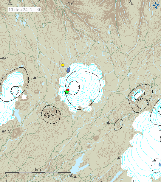
Yesterday (16. January 2025) an earthquake swarm started in Ljósufjöll volcano. This is an area that has had an earthquake swarm since 2020 or 2021. Largest earthquake in this swarm had a magnitude of Mw3,2.
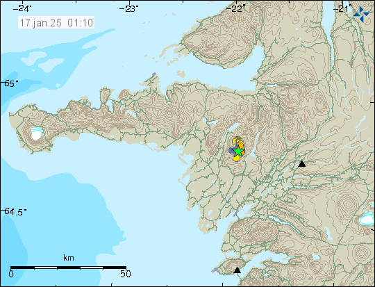
This earthquake swarm aligned it self with fault lines in the area. That is a change from earlier earthquake activity. Depth of the earthquake has also been decreasing. Its now around 14 km, from 17 to 23 km as it was before. Based on the earthquake activity, the amount of magma remains low and when the amount of magma is low. Its less likely to erupt. It rather is just stuck in the crust. However, if the amount of magma increases, that is going to increase the chance of an eruption in this area. This might take years, if not decades to happen as it stands now. Quick change seems unlikely at the writing of this article.