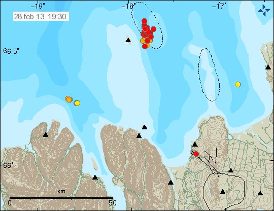
Currently there is a minor earthquake swarm east of Grímsey Island in the Tjörnes Fracture Zone. So far the largest earthquake has had the magnitude of 2.9 according to Icelandic Meteorological Office reviewed earthquake overview. Earthquake swarms are common in this area of TFZ.
Earthquake activity in TFZ today. Copyright of this image belongs to Icelandic Meteorological Office.
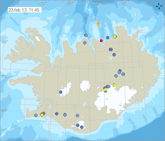
Grímsfjall and Hamarinn volcanoes
Some internesting earthquake activity is now taking place in Grímsfjall volcano (outside the main volcano). This earthquake activity is in the fissure swarm that extents away from Grímsfjall volcano in the direction of Katla volcano fissure swarm. There has also been interesting earthquake activity taking place in Hamarinn volcano (no GVP page). But Hamarinn volcano last had a minor eruption in July of the year 2011. So far nothing suggests anything of volcanic nature is about to take place.
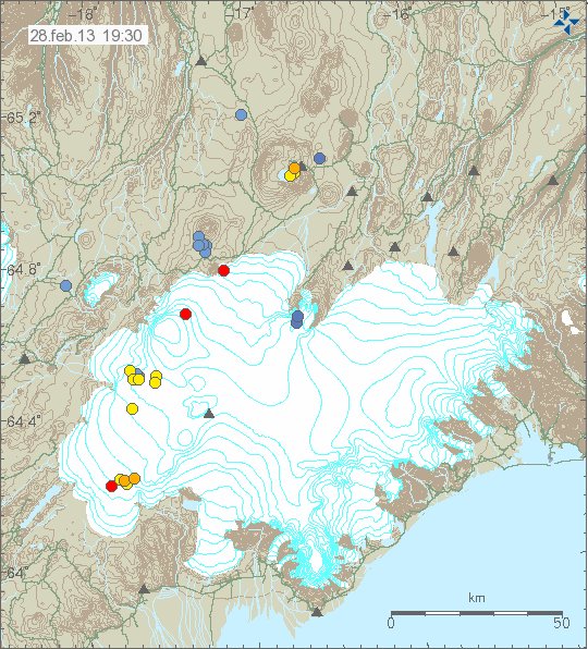
Earthquake activity in Grímsfjall volcano system today. Along with earthquake activity in Hamarinn volcano. Copyright of this image belongs to Icelandic Meteorological Office.
At the moment it appears that nothing besides earthquakes is going to take place in Grímsfjall volcano. But it hard to be sure given how often Grímsfjall volcano erupts. I do not yet have enough data on what is happening in Hamarinn volcano to say what is taking place there. So for now. It must just be observed.