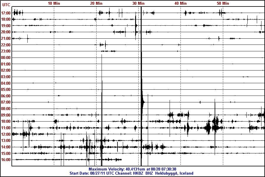
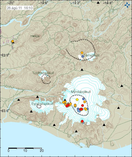
Here is a short overview of the Hamarinn volcano activity this summer. From what I can gather in the current data this is most likely not over. During the past few days there have been at least suspected two minor eruption in Hamarinn volcano. But it hard to confirm it due to glacier that is covering this area.
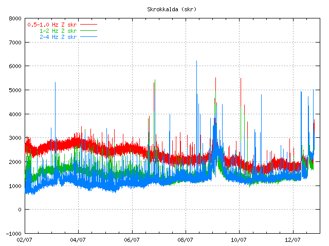
This all starts on 12. July 2011 at 07:30 UTC with this event here.

The tremor spike on 12. July 2011 at 07:49 UTC. Copyright of this picture belongs to Icelandic Met Office.
When the clock is around 19:10 UTC the same day the tremor chart looks like this.
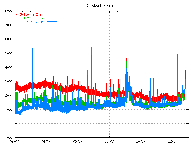
The tremor spikes are now three on 12. July 2011 at 19:09 UTC. Copyright of this picture belongs to Icelandic Met Office.
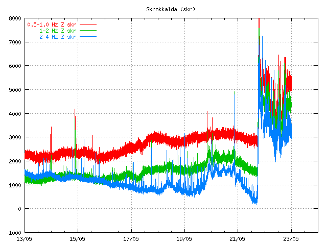
On the 13. July 2011 the tremor plot looks like this. But at that time the glacier flood had started and broken from the Vatnajökull glacier.
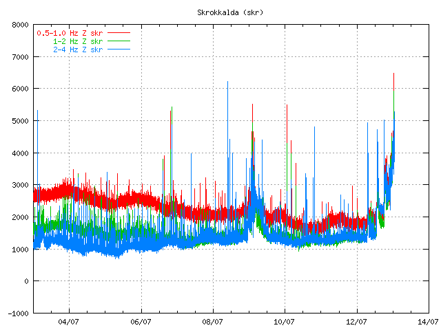
The tremor chart at 13. July 2011 at 01:10 UTC. Copyright of this picture belongs to Icelandic Met Office.
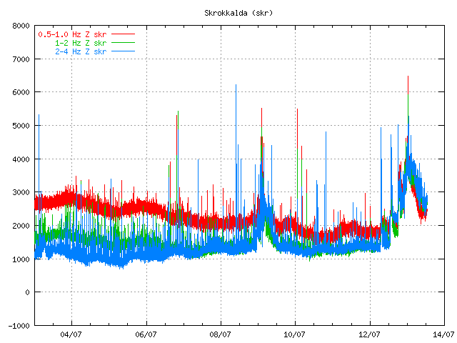
The tremor chart at 13. July 2011 at 12:59 UTC. Copyright of this picture belongs to Icelandic Met Office.
Then there was a short period of break when nothing interesting happened in Hamarinn volcano. That break did last until 16. July 2011 when a new, but smaller spike did appear on Skrokkalda SIL station.
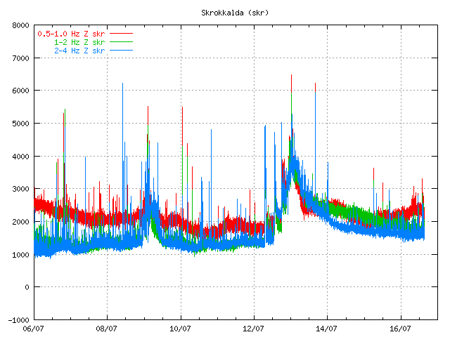
The tremor at 16. July 2011 at 15:22 UTC. It is not fully clear what did happen at this time. But this was most likely a earthquake in Hamarinn volcano. But that is yet unconfirmed at this time. Copyright of this picture belongs to Icelandic Met Office.
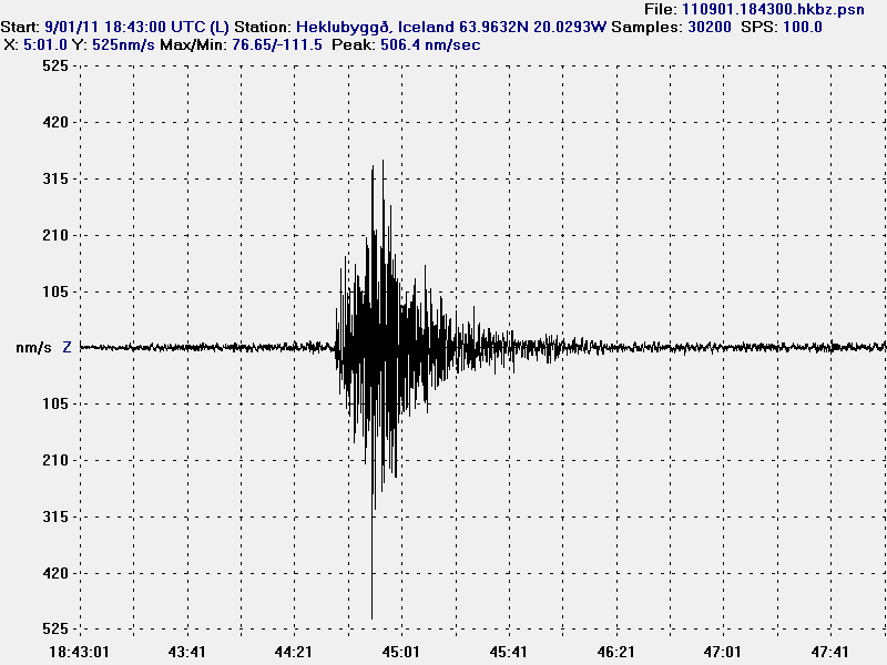
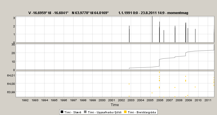
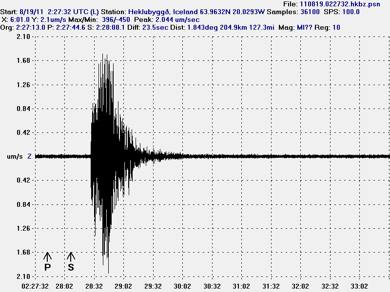
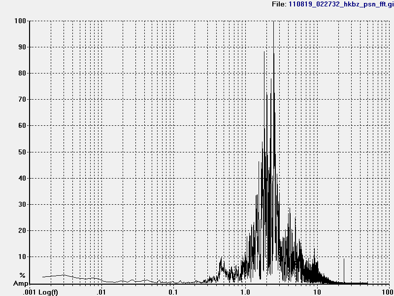
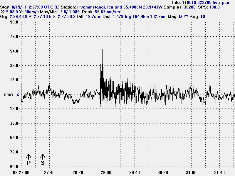
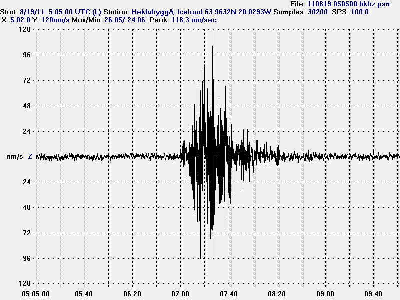
Then there is a new break that lasts until 1. August when a earthquakes happens deep under Bárðarbunga volcano. But the deepest earthquake had the depth of 25.2 km. But it is also important to notice this earthquake that took place on 13. July 2011 and it is from Hamarinn volcano.
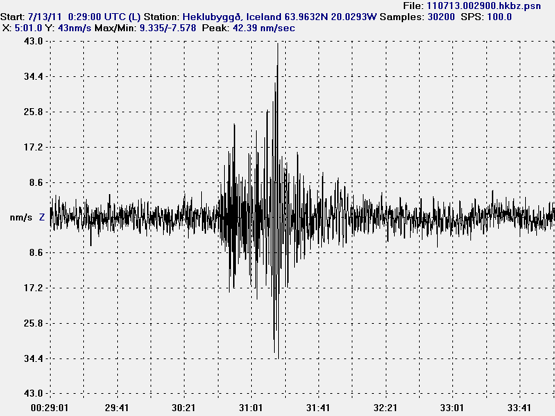
The earthquake from Hamarinn volcano. This picture is released under Creative Commons licence. Please see licence web page for more details.
On the 3. August 2011 around 02:00 UTC a new harmonic tremor spike starts to be visible on Skrokkalda SIL station.
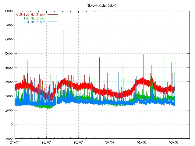
The tremor plot at 01:55 UTC on 3. August 2011. Copyright of this picture belongs to Icelandic Met Office.
This day two minor harmonic tremor happens. A change in Skaftá glacier river is noticed. That is higher conductivity and slightly more water. It was announced in the news that a Skaftá glacier river flood was about to start from the eastern glacier cauldron that is formed above the Hamarinn volcano. Today however that does not seem to be the case. As no glacier flood has taken place so far.
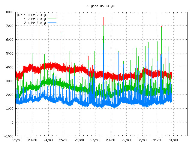
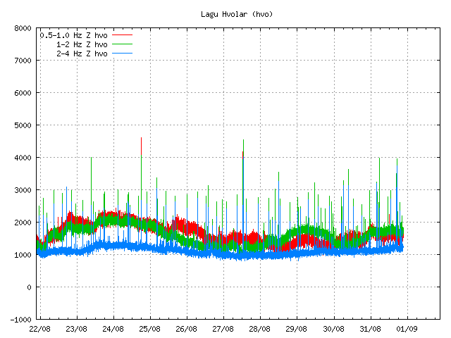
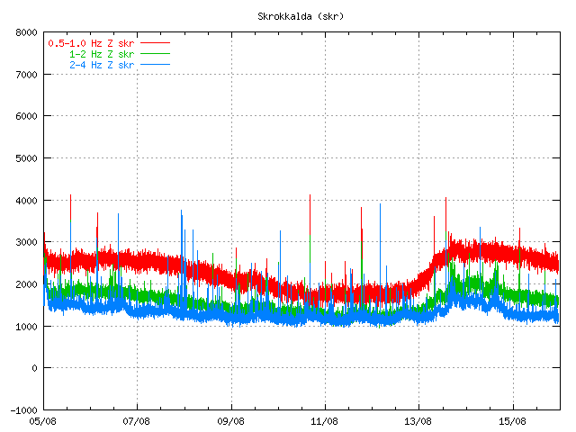
Today (5. August 2011) there was a new harmonic tremor spike on Skrokkalda SIL station. It did follow the same pattern as before. It started and lasted for about 20 to 60 minutes or about that long.
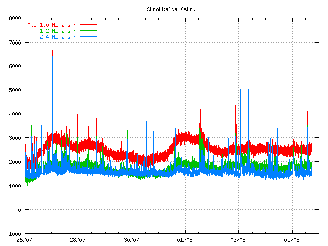
The tremor chart 5. August 2011 at 17:38 UTC. Copyright of this image belongs to Icelandic Met Office.
So far today only one harmonic tremor has been detected. But given the past experience that is unlikely to hold for a long time now. But it is impossible to know when a new event starts or how big it is going to be.
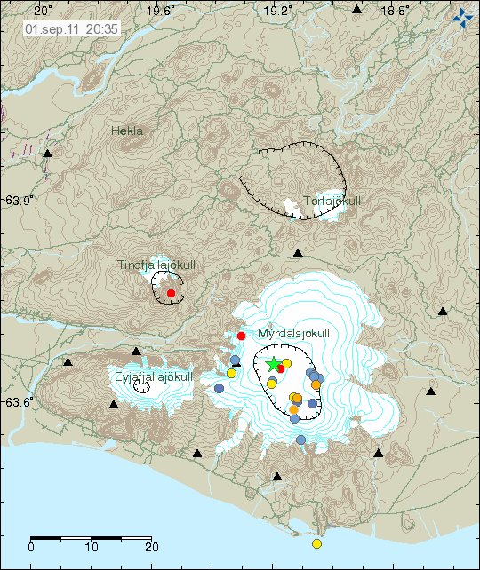
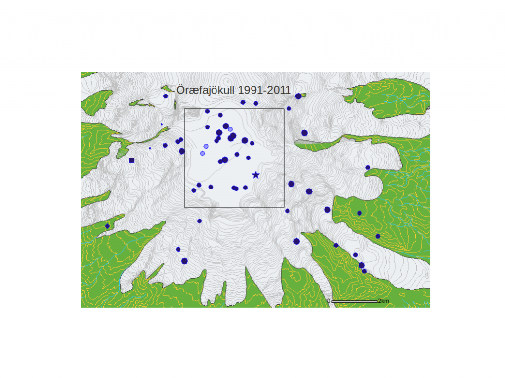
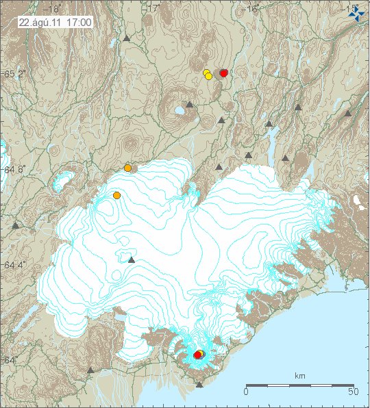
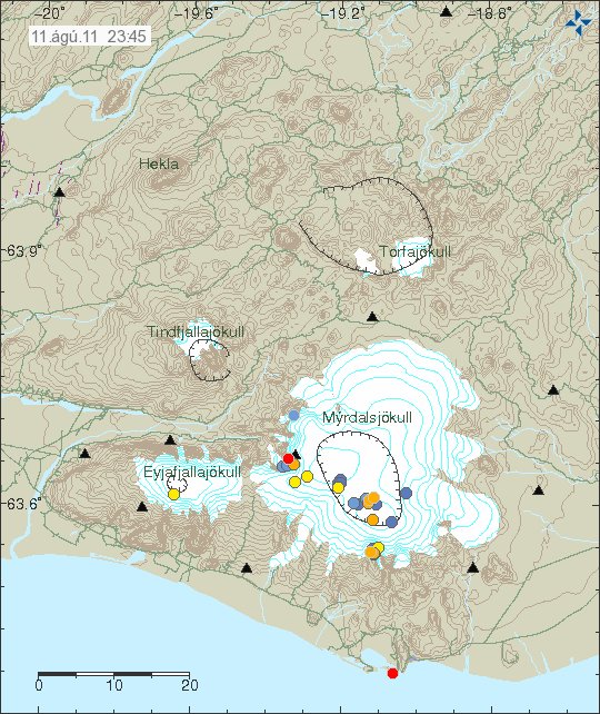
The original event on 12. July 2011 did create new cauldron in the glacier. This map from Icelandic Met Office shows the location of those new cauldrons. But it has been marked with a star on the map. The coloured dots are earthquakes in this area over the past few years.

Map of the area that is currently active in Hamarinn volcano. Copyright of this image belongs to Icelandic Met Office.
Given the current data I am expect a full scale eruption in this area soon. When is hard to know for sure. But until that happens there are going to be more smaller eruptions in this area. I do not know why there is a lack of earthquakes following this events. I cannot explain it. But because of that this can only be seen after it has started on the tremor charts.
