Early morning today (2. March 2011) there was a spike of earthquakes in Krýsuvík volcano. This earthquake swarm took place west of Kleifarvatn lake as the main center of the activity has been for the past two years. This type of activity can be expected in Krýsuvík volcano in the coming weeks in my opinion. Both long earthquake swarms and short ones, like the one that did happen early morning today.
The Icelandic Met Office has released a picture showing the earthquake activity in Krýsuvík volcano from the year 2004. Along with accumulated strain from those earthquakes and other useful data.

Picture is from Icelandic Met Office web page. The Icelandic Met Office owns the copyright to this picture.
Frame 1: Monthly number of earthquakes.
Frame 3: Total number of earthquakes. Second line: Collected strain from earthquakes.
Frame 4: Depth of earthquakes.
Here is a picture of the location of the last week earthquake swarm in Krýsuvík volcano. This is depth view. This view does not contain all the earthquakes that took place in Krýsuvík volcano.

Picture is from Icelandic Met Office web page. The Icelandic Met Office owns the copyright to this picture. Note: Dýpi = Depth
Update: Here is a updated earthquake plot of Krýsuvík volcano. This is the location of the earthquakes in Krýsuvík volcano along with the depth of the earthquakes. This is the earthquakes in Krýsuvík volcano from 25.02.2011 to 02.03.2011. This picture is from here.

Picture is from Icelandic Met Office web page. The Icelandic Met Office owns the copyright to this picture. Note: Dýpi = Depth
A overview picture of the activity in Krýsuvík volcano shows well the fissure direction the earthquakes line them self up on. The direction is almost north-south one. This map does not contain all the earthquake that where recorded in Krýsuvík volcano in last week.

Picture is from Icelandic Met Office web page. The Icelandic Met Office owns the copyright to this picture.
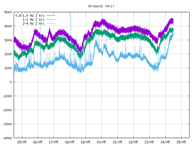
The pictures are from the Icelandic Met Office web site that contains weekly overview of earthquake activity in Iceland. Click on the pictures to get high resolution of them.
I am expecting more earthquake activity in Krýsvík volcano area. But at the moment it is a bit hard to know for sure if this is going to result in a volcano eruption. But in my opinion that is going to be the result in the end. But currently it is all a question about when, rather then if in my opinion.
Update: There was a earthquake with the size ML3.6 at 17:56 UTC according to the automatic data from Icelandic Met Office. This earthquake was a more south the earthquakes that happened last weekend. This can clearly been seen on the map data that Icelandic Met Office has released (see above). The depth of this earthquake was 3.6 km.
Press disclaimer: I am not a geologist and my opinion is not the one of a expert in this matter.
News about the earthquake swarm in Krýsuvík volcano this morning. Use Google Translate carefully.
Enn skelfur jörð í Krýsuvík (Vísir.is)
Blog post updated at 20:25 CET on 02.03.2011. A new picture is added and information about the newest earthquake swarm is added.
Blog post updated at 20:36 CET on 02.03.2011.


