This is a short update for the earthquake swarm in TFZ at 20:50 UTC.
At 19:42 UTC on 20.09.2012 an earthquake with the magnitude of ML4.2 took place on TFZ. This earthquake swarm was most likely felt in Siglufjöður town, Dalvík town and possibly more places around the epicenter of this earthquake. This earthquake did also appear clearly on my geophone network in Iceland. Swarm of smaller earthquakes did follow this larger earthquake as before.

The epicenter of the latest magnitude ML4.2 earthquake in TFZ. Copyright of this image belongs to Icelandic Meteorological Office.

The progress of the earthquake swarm during the past 48 hour period. This earthquake swarm happens in swarm, with drop in activity between them. Copyright of this image belongs to Icelandic Meteorological Office.

The earthquake swarm as it did appear on my Hvammstangi geophone station. This image is released under Creative Commons licence. Please see CC licence page for more details.

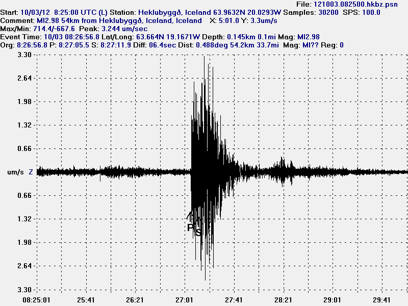
The earthquake swarm as it did appear on my Heklubyggð geophone station. This image is released under Creative Commons licence. Please see CC licence page for more details.
It is impossible to predict the progress and development of this earthquake swarm. But I expect this earthquake swarm to continue for the next few hours to days. It might last longer then few days. But only time is going to tell us what is going to happen next in this earthquake swarm. I am going to post new update on this earthquake swarm once I have had the time to check some of this data. But that might take few hours until I can do so. At the longest, not until tomorrow. Depending on IMO work on this earthquake swarm data. I am going to post new updates on this earthquake swarm soon as possible if anything major happens.