Landslide in Seyðisfjörður town damages houses, people evacuated

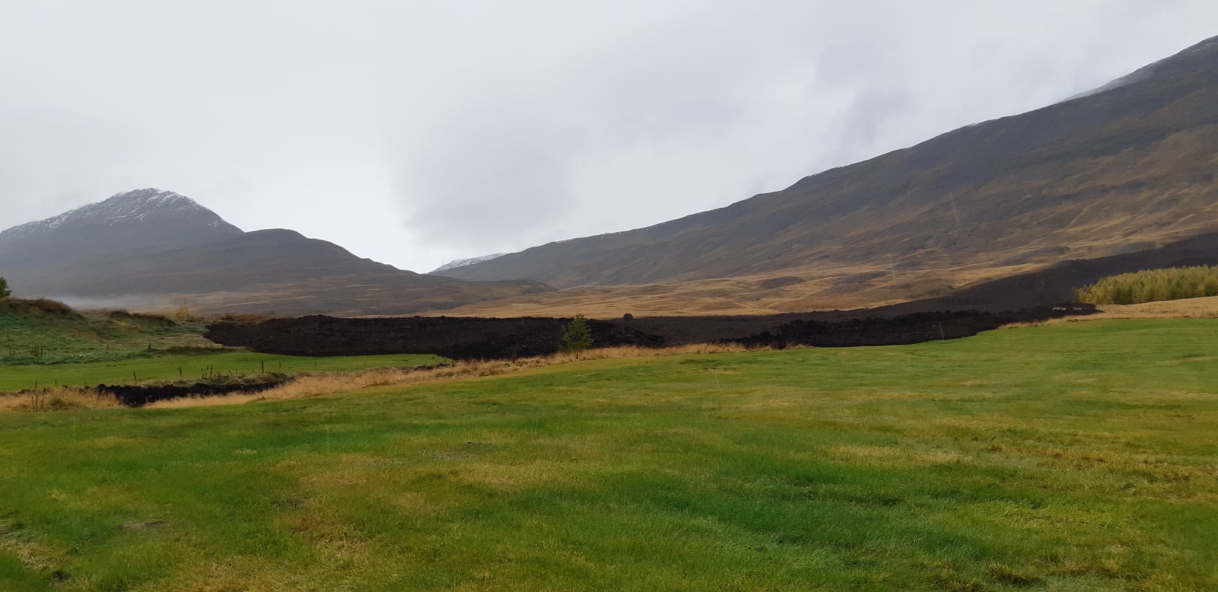
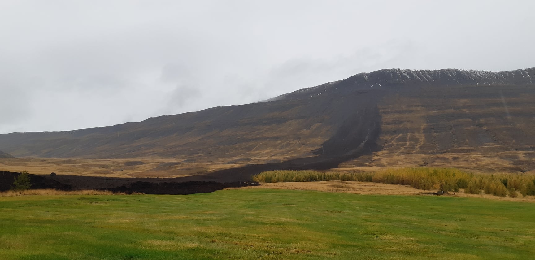
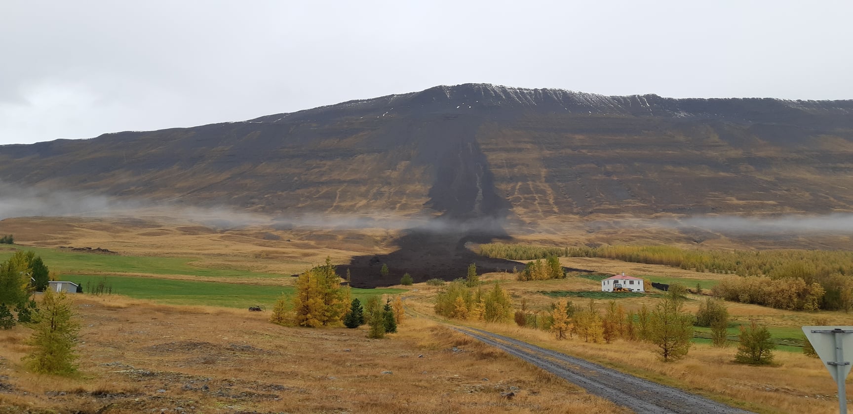
Over the last few days the town of Seyðisfjörður in eastern Iceland has been dealing with several landslides. During the night of 18-December-2020 a landslide moved a house of its founding and damaged it. Risk of landslides are also in other towns in eastern Iceland. I don’t know anything useful about landslides but the situation has turned bad in eastern Iceland. The reason for the landslides is heavy rain in the area and rain has been more than 200mm during 24 hours according to weather reports. Currently there is no change in the weather forecast until Saturday when the rain is expected to stop. After that there is expected that snowing is going to start as the weather cools in eastern Iceland. Icelandic Met Office website in English.

Icelandic News

Landslide and rain alerts continue in East Iceland (Rúv.is)
Aurskriða hrífur hús með sér á Seyðisfirði (Rúv.is, Icelandic) – News report on landslide moving a house off its foundations.

Update at 14:43 UTC

New images from Seyðisfjörður town show the damage that has happened in this landslides during the night. Images can be found in this Icelandic news.

Húsið hefur snúist hálfhring – Myndir (austurfrettir.is)

Article updated at 14:43 UTC.

More landslide problems far south of Akureyri

Today (07-October-2020) has seen more landslide problems in the landslide that did fall yesterday (06-October-2020). The problem today according to the news is water that is flowing in the landslide and is expanding it. Two houses and one summer house have been evacuated because of high risk more landslides in this area. The flow from the landslide has been going into ditches that are around the farms and filling them up. This has resulted in flooding over nearby roads and blocking them.

The changes have not appeared properly in pictures in the news media. Below are the pictures in Icelandic News that I was able to find.

Hús rýmd og enn hætta á aurskriðum (Rúv.is)
Loka veg­um og rýma hús eft­ir aur­skriðu (mbl.is, pictures)

I’ll try to update on this situation if I see any news about this. That might not happen since this might not stay long in the news cycle in Iceland.

Update 1

Rúv News has released a new video of the landslide that shows the area that it covers. There is a lot of water flow in the landslide as can be seen in the video.

Enn vatnsrennsli úr aurskriðunni og grannt fylgst með

Donations

Please remember to support my work with donations. I am broke this month because I had to get new hard drives for my computers. Thanks for the support. 🙂

Amazon Advertisement phase out

After using Amazon Associate for 10 years I’ve made the chose to phase them out slowly in next few days. The reason is that they don’t pay enough to keep their banners on my website. Amazon Associate is going to be replaced with Google Adsense but that won’t happen in full until after I move back to Denmark sometimes in 2021 if the covid-19 situation gets better.

Article updated on 08-October-2020 at 14:21 UTC.

Large landslide far south of Akureyri town

Today (06-October-2020) an large landside took place on a farm far south of Akureyri town. There was no house damage in this landslide but a water well for the farm and other houses was destroyed in this landslide according to the news.

All pictures are from the police of Akureyri / north-east police.


Side view of the landslide.


Side view of the landslide.


Front view of the landslide.

It is unclear why this landslide took place according to the news. Some ideas have connected this landslides to the earthquake activity in Tjörnes Fracture Zone but that connection is unclear at best.

Rúv News has a video that can be viewed below.

Aurskriðan í Eyjafirði mögulega vegna jarðskjálfta (Rúv.is, Icelandic)

Donations

Please remember to support my work with donations. I am broke in October since I had to buy new hard drives for my computers as the one I used had failed. Thanks for the support. 🙂

Massive landslide in western Iceland (highly localized)

A massive landslide has fallen in western Iceland from a mountain called Fagraskógarfjall. This landslide is estimated to be 2 km wide and 1,5 km long at earlier measurements. I don’t know yet much material did push forward in this landslide but the amount is considerable. This landslide blocked a nearby river and a small lake is currently forming. It is expected that the river is going to form a new pathway past this landslide in next few hours to days. This might be largest landslide or among the largest landslides in Iceland since the year 1000.

Images, maps and videos on Icelandic News media (all text and interviews are in Icelandic and no English text available)

„Með stærstu skriðuföllum eftir landnám“ (Rúv.is, video)
Stór grjótskriða stíflar Hítará (Rúv.is, image, audio interview in Icelandic)
Drónamyndir úr Hítardal (Rúv.is, video)
Breytir landslaginu í Hítardal (Rúv.is, image, embedded facebook video)

„Þetta er bein afleiðing af þessum miklu rigningum“ (Vísir.is, image, video)
Drónamyndband frá skriðunni í Hítárdal (Vísir.is, video)

Update 1

Ekki fyrirboði fyrir fleiri skriðum (Rúv.is, map)

Article updated at 19:11 UTC on 8-Juli-2018. Added new news item in Icelandic.

Continued risk of landslide in Ketilbjörg cliff in Skagafirði (North-West Iceland)

There is now a increased risk of landslide in Ketilbjörg cliff. The area that is about to fall of is extremely dangerous, tourist have been seen going out on the part of the cliff that is about to break off. This cliff that is breaking off might fall into the coast below at any time without warning. Such thing has happened in popular tourist locations.

If you are travelling in this area of Iceland do not go out on this cliff. It is extremely dangerous since it can go loose without warning. If they have closed the area (as they say in the news that has been done), respect that closure.

Icelandic news – in Icelandic

Sprungan í Ketubjörgum stækkar (Rúv.is, Icelandic, old picture)
Lít­ur út fyr­ir að geta hrunið á hverri stundu (mbl.is, Icelandic, new picture)

Update 1: New image of the cliff that is about to break off can be found here in this news from Rúv. Other new cracks have also seen forming in the same area.

Article updated at 04:12 UTC on 25-July-2015.

Risk of rock collapse in Ketilbjörg cliffs

There is currently a high risk of rock collapse in Ketilbjörg cliffs in north-west Iceland. This area is located north of Sauðárkrókur town. The area is now extremely dangerous due to the fact that the rock can fall of it’s location without warning. This are big rocks that are breaking off and falling into the coastline, many of them having the size of small houses or cars. If people travel to this area they should not go to the edge where cracks are in the ground. Doing so puts your life at risk.

Icelandic News

Enn hrynur úr Ketubjörgum (Rúv.is, Images, Icelandic)

Landslide in Dyrhólaey island

It was noticed today that a landslide took place in Dyrhólaey island. This landslide is not big, but it cut a hiking path that goes close to the cliff edge in this area. Most of the rock in the island appears to be unstable according to the news today, but that instability is hard to see on the surface. In 2012 four people fell off that cliff, all survived the 40 meter drop in this location when they did accidentally step over the cliff edge.

Icelandic news and images (all text is in Icelandic)

Skriða tók með sér gönguslóða í Dyrhólaey (Rúv.is, images, Icelandic)
Stór skriða féll í Dyrhólaey: „Stígurinn sem alltaf er genginn liggur bara beint út þetta“ (Vísir.is, Icelandic, images)
Stórt skarð í stígn­um (mbl.is, Icelandic, images)

Risk of landslide forces the closure of popular viewing place in Skagafjörður

Due to risk of landslide a viewing area in northern Skagafjörður has been closed. Tip of a cliff in the area is about to break off at any time and without warning and there appears to be considerable area getting ready to go forward into the coast line below. Please see attached news for pictures.

Útsýnisstað lokað vegna öryggisástæðna (Vísir.is, Pictures)
Hættulegar sprungur í Ketubjörgum (Skagafjörður.is, images)
Lokuðu vinsælum útsýnisstað í Skagafirði (Rúv.is, Images)

More details on the landslide in Askja volcano

Over the past few days scientists from Icelandic Meteorological Office and University of Iceland, geology department have been studying the massive landslide in Askja volcano. The area is considered unstable as is and might remain unstable for the next year and even longer. Risk of new landslide in Askja is not higher now than normal, but even so the walking paths around Askja lake are going to remain closed due to changes that took place when the flood wave hit the volcanic crater coastline following the landslide.

It remains unclear why this landslide took place. It does not seem that wet soil is the reason for this, as was originally thought. Some speculation have been that this might be due to increased hydrothermal (hot springs) activity in Askja volcano. Nothing has yet been proven on what did cause this large landslide. There have also been news items that a earlier landslide around the same size might have taken place in Askja volcano in the years 1902 to 1960 (exact date is not known). Current size estimates are that the landslide is around 50 million cubic meters in size and around 700 meters wide at the top. More research is going to give more details on this landslide in the future. The seismic signal and following harmonic tremor that was detected following this landslide has a detailed analyse here on Icelandic Meteorological Office website.

If more landslides do happen in Askja volcano I am going to publish that information soon as possible. If more information is going to be published I am going to post them soon as possible.

Donations: Please remember to donate to support my work. Due to my move to Iceland in December I have updated the information here. Please take a note of the changes that are going to take place in January 2015. Thanks for the support.

Article updated at 00:10 UTC on 26-July-2014.

Updated information on Askja volcano landslide

This is a short update on Askja volcano landslide.

Travel ban is still in effect to Askja volcano. Parts of it are going to be lifted later today or tomorrow, but access to Askja lake is going to remain forbidden at least until Friday, after estimates on risk of new landslides have been performed by Icelandic Meteorological Office and Civil Protection in Iceland (Almannavarnir). Risk of new landslides taking place in this area remains and might remain for many months to come. It is now estimated that 50 to 60 million cubic meters of material did collapse down into Askja lake, but with only part of the material ending up into the lake it self. New estimates on the flood waves that where created now put them around 50 meters high, there was also not one wave that took place, but it is now estimated that four waves took place once the landslide hit the water.

Hiking paths to Askja volcano and Víti have been closed due landslide risk in the area around Askja lake. Please respect this closure since this area is now highly unstable and more landslides might fall without warning.

Update 1: The landslide (or rock slide as IMO calls this) is now estimated to be around 1 km wide. The tsunami waves that followed this landslide in Askja lake are now estimated to have been around 73 meters high (around Hallgrímskirkja church high). The area remains closed and is now regarded as highly unstable. Risk of new landslides in this area remains high at current time. The amount of soil that did just go into Askja lake is estimated to have been around 24 million cubic meters, with the total amount much higher (this is unconfirmed number).

I will post more information as more is known what happened.

Icelandic news of this

„Bráðabani“ að fara niður að vatn­inu (mbl.is)
Víga­leg­ur mökk­ur steig til him­ins (mbl.is, pictures)
Lukka að þetta gerist um miðnætti (Rúv.is)
Svona lítur Askja út í dag – Myndband (Rúv.is, video of Askja today)
Askja – fyrir og eftir berghlaupið (Rúv.is, this are before and after images of Askja)
Berghlaupið í Öskju eitt það stærsta (Rúv.is, new video of Askja area)

Donations: Please remember to donate to support my work (and keep me away from starving). I will move back to Iceland in December (see here). Thanks for the support.

Article updated at 13:55 UTC.
Article updated at 16:01 UTC.
Article updated at 22:16 UTC.
Article updated at 22:18 UTC.